File:SRTM Fehldaten.jpg
Jump to navigation
Jump to search
No higher resolution available.
SRTM_Fehldaten.jpg (591 × 405 pixels, file size: 68 KB, MIME type: image/jpeg)
Captions
Captions
Add a one-line explanation of what this file represents
Summary
[edit]
| Description |
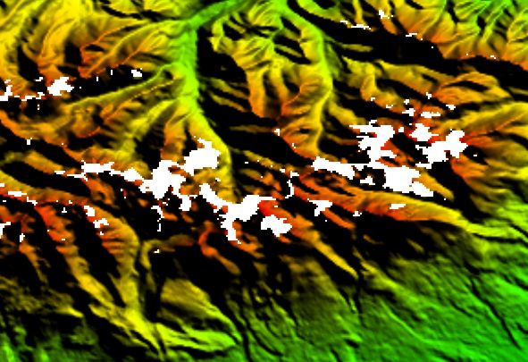
Deutsch: SRTM Fehldaten |
| Source | USGS, University of Maryland |
| Author | USGS |
Licensing
[edit]
This image is in the public domain in the United States because it only contains materials that originally came from the United States Geological Survey, an agency of the United States Department of the Interior. For more information, see the official USGS copyright policy.
|
This image uses high-resolution digital topography data from NASA's Shuttle Radar Topography Mission (SRTM) at JPL-Caltech [1]. It is in the public domain in the United States.
|
 | |
Original upload log
[edit]
Transferred from de.wikipedia to Commons by Nachcommonsverschieber using CommonsHelper.
The original description page was here. All following user names refer to de.wikipedia.
- 2004-02-11 07:29 Germania 591×405× (69478 bytes)
File history
Click on a date/time to view the file as it appeared at that time.
| Date/Time | Thumbnail | Dimensions | User | Comment | |
|---|---|---|---|---|---|
| current | 07:44, 22 July 2013 | | 591 × 405 (68 KB) | File Upload Bot (Magnus Manske) (talk | contribs) | Transfered from de.wikipedia by User:Nachcommonsverschieber using CommonsHelper |
You cannot overwrite this file.
File usage on Commons
There are no pages that use this file.
File usage on other wikis
The following other wikis use this file:
- Usage on de.wikipedia.org