File:Salzförderband Fundamente 0.jpg
Jump to navigation
Jump to search

Size of this preview: 800 × 562 pixels. Other resolutions: 320 × 225 pixels | 640 × 449 pixels | 1,024 × 719 pixels | 1,280 × 898 pixels | 2,560 × 1,797 pixels | 4,365 × 3,064 pixels.
Original file (4,365 × 3,064 pixels, file size: 458 KB, MIME type: image/jpeg)
Captions
Captions
Add a one-line explanation of what this file represents
Summary[edit]
| Description |
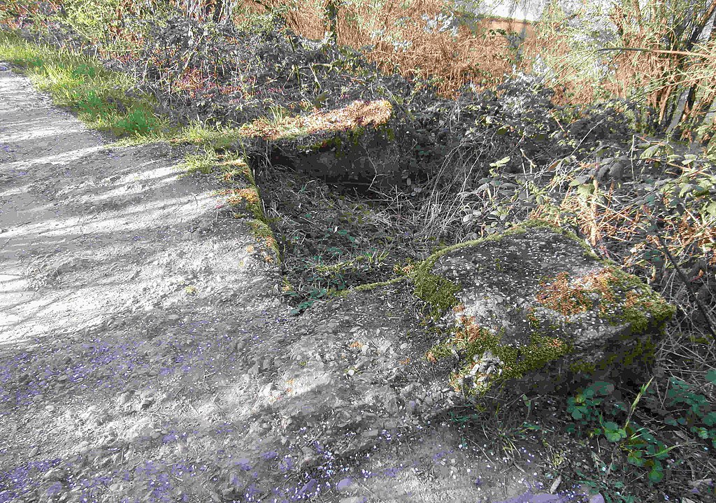
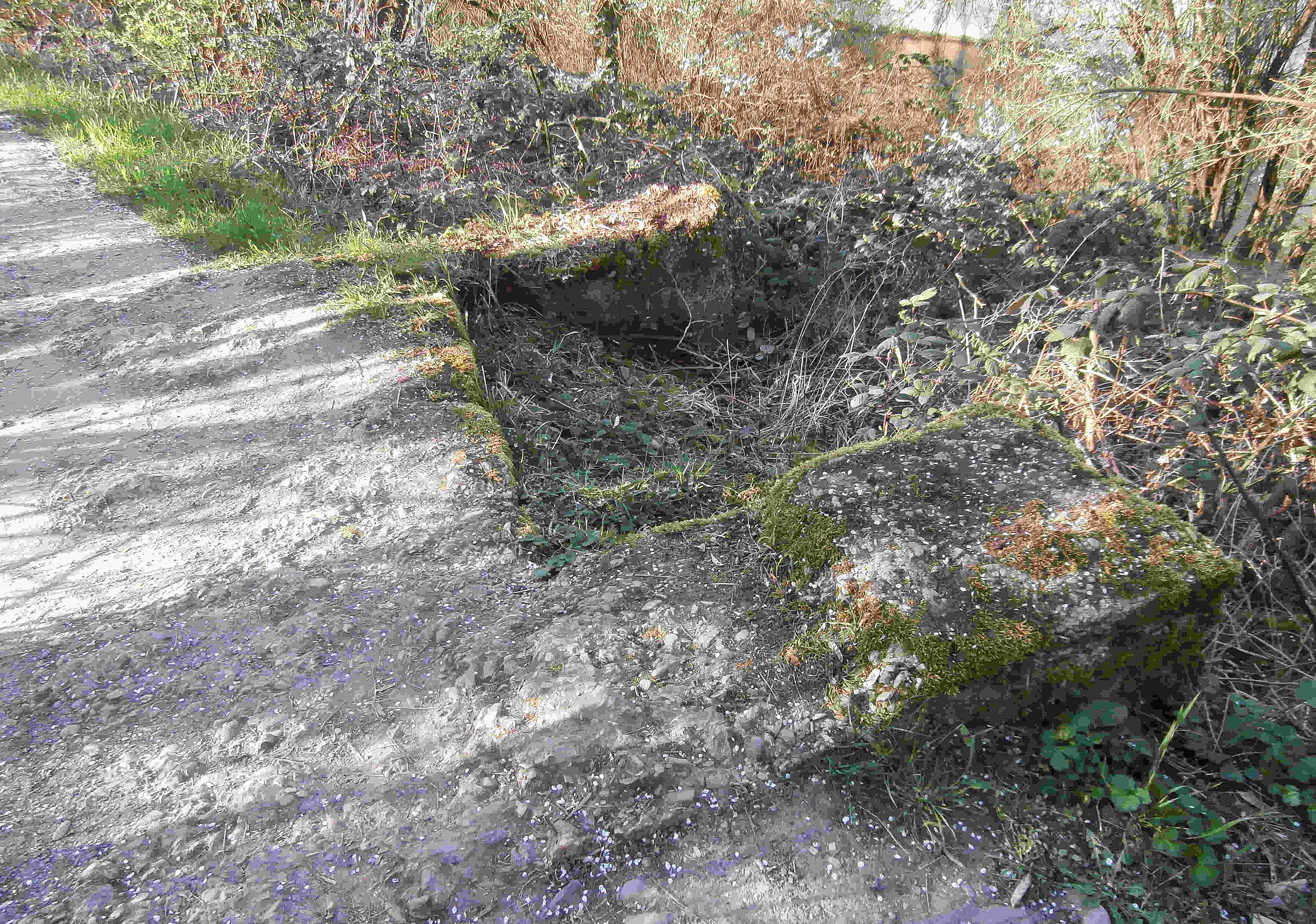
Deutsch: Diese beiden Fundamentstreifen des ehemaligen Förderbandes befinden sich im Damm des Salinenkanals und mithin auch auf dem Salzwanderweg, wenige Meter kanalabwarts vom Standort 4. |
| Date | |
| Source | Own work |
| Author | Sarang |
| Other versions |
|


| Object location | | View this and other nearby images on: OpenStreetMap |
|---|
Licensing[edit]
| I, the copyright holder of this work, release this work into the public domain. This applies worldwide. In some countries this may not be legally possible; if so: I grant anyone the right to use this work for any purpose, without any conditions, unless such conditions are required by law. |
File history
Click on a date/time to view the file as it appeared at that time.
| Date/Time | Thumbnail | Dimensions | User | Comment | |
|---|---|---|---|---|---|
| current | 12:09, 3 April 2021 | | 4,365 × 3,064 (458 KB) | Sarang (talk | contribs) | better visible 2nd part in the backgraund |
| 11:11, 26 March 2021 |  | 4,608 × 3,456 (507 KB) | Sarang (talk | contribs) | {{Information |Description={{de|Diese Betonfundamente des ehemaligen Förderbandes befinden sich im Damm des {{C|Salinenkanal in Kochendorf|Salinenkanals}}<br>und mithin auch auf dem {{C|Salzwanderweg}}, wenige Meter kanalabwarts vom Standort 4.}} |Date=2021-03-25 |Source={{own}} |Author={{U|Sarang}} |Other versions={{G|Salzförderband Fundamente 1.jpg|Salzförderband Fundamente 2.jpg|f=2}} }} {{Object location|49°13′39.8″N 09°11′59.8″E|dim:400}} == {{int:license-header}} == {{PD-self}} [[Cate... |
You cannot overwrite this file.
File usage on Commons
The following 5 pages use this file: