File:Salzverladestelle am Neckarkanal.jpg
Jump to navigation
Jump to search

Size of this preview: 771 × 600 pixels. Other resolutions: 309 × 240 pixels | 617 × 480 pixels | 988 × 768 pixels | 1,280 × 995 pixels | 2,560 × 1,991 pixels | 4,224 × 3,285 pixels.
Original file (4,224 × 3,285 pixels, file size: 577 KB, MIME type: image/jpeg)
Captions
Captions
Add a one-line explanation of what this file represents
Summary[edit]
| Description |
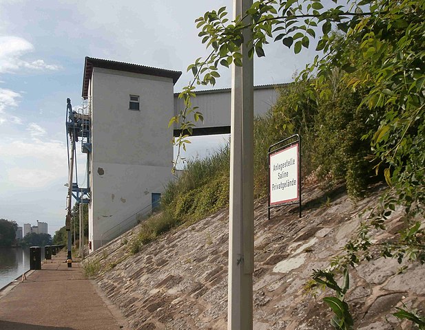
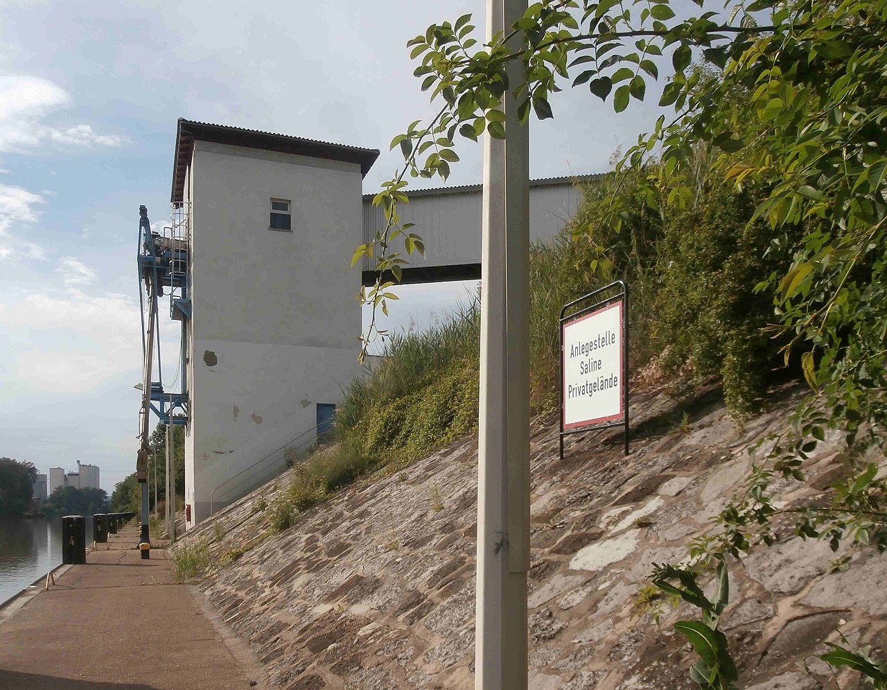
Deutsch: Die gegenwärtige Anlage zur Beladung der Schiffe im Neckarkanal.
Im Hintergrund die Frießinger Mühle (Wimpfen im Tal). |
| Date | |
| Source | Own work |
| Author | Sarang |
| Object location | | View this and other nearby images on: OpenStreetMap |
|---|
Licensing[edit]
| I, the copyright holder of this work, release this work into the public domain. This applies worldwide. In some countries this may not be legally possible; if so: I grant anyone the right to use this work for any purpose, without any conditions, unless such conditions are required by law. |
File history
Click on a date/time to view the file as it appeared at that time.
| Date/Time | Thumbnail | Dimensions | User | Comment | |
|---|---|---|---|---|---|
| current | 15:22, 4 July 2021 | | 4,224 × 3,285 (577 KB) | Sarang (talk | contribs) | reduction of abstruse size |
| 15:16, 4 July 2021 |  | 4,224 × 3,285 (7.61 MB) | Sarang (talk | contribs) | {{Information |Description={{de|Die gegenwärtige Anlage zur Beladung der Schiffe im Neckarkanal. Im Hintergrund die Frießinger Mühle (Wimpfen im Tal).}} |Date=2021-07-03 |Source={{own}} |Author={{U|Sarang}} }} {{Object location|49°13′11.7″N 09°12′21″E|dim:400}} == {{int:license-header}} == {{PD-self}} Category:Kochendorf Salzfy |
You cannot overwrite this file.
File usage on Commons
The following 2 pages use this file: