File:Scottish Mainland's Most Easterly Point - geograph.org.uk - 230523.jpg
Jump to navigation
Jump to search
No higher resolution available.
Scottish_Mainland's_Most_Easterly_Point_-_geograph.org.uk_-_230523.jpg (640 × 480 pixels, file size: 109 KB, MIME type: image/jpeg)
Captions
Captions
Add a one-line explanation of what this file represents
Summary[edit]
| Description |
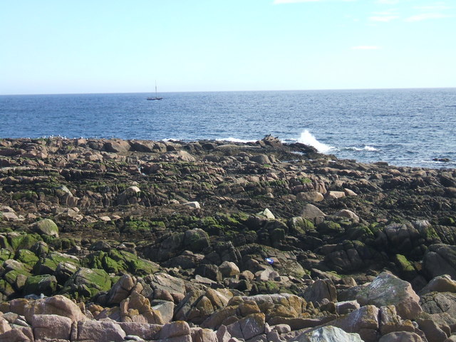
English: Scottish Mainland's Most Easterly Point. ....rather strangely marked as 'South Head' on the map!
(photographer's thanks to correspondent who correctly points out this is not Scotland's Most Easterly point as originally titled.... from Thomas Murray... The most easterly point of Scotland is on Bound Skerry, Out Skerries, Shetland; at approximately MLWS ETRS89/WGS84 0 degrees 43.797' W (from Memory-Map 1:25 000. The most easterly point of Bound Skerry MLWS is approximately 38.7 miles / 62.3 kilometres further east, than the most easterly point of Keith Inch MLWS. |
| Date | |
| Source | From geograph.org.uk |
| Author | Ken Fitlike |
| Attribution (required by the license) | Ken Fitlike / Scottish Mainland's Most Easterly Point / |
| Object location | | View this and other nearby images on: OpenStreetMap |
|---|
_&language=en)
Licensing[edit]

|
This image was taken from the Geograph project collection. See this photograph's page on the Geograph website for the photographer's contact details. The copyright on this image is owned by Ken Fitlike and is licensed for reuse under the Creative Commons Attribution-ShareAlike 2.0 license.
|
This file is licensed under the Creative Commons Attribution-Share Alike 2.0 Generic license.
Attribution: Ken Fitlike
- You are free:
- to share – to copy, distribute and transmit the work
- to remix – to adapt the work
- Under the following conditions:
- attribution – You must give appropriate credit, provide a link to the license, and indicate if changes were made. You may do so in any reasonable manner, but not in any way that suggests the licensor endorses you or your use.
- share alike – If you remix, transform, or build upon the material, you must distribute your contributions under the same or compatible license as the original.
- Remove redundant categories and try to put this image in the most specific category/categories
- Remove this template
- The location categories are based on information from this geonames tool and this OpenStreetMap tool combined with a database. You can also have a look at this tool from mysociety.
- The topic category from Geograph was Coastline/Beaches (find similar images at Geograph)
File history
Click on a date/time to view the file as it appeared at that time.
| Date/Time | Thumbnail | Dimensions | User | Comment | |
|---|---|---|---|---|---|
| current | 02:11, 1 February 2010 | | 640 × 480 (109 KB) | GeographBot (talk | contribs) | == {{int:filedesc}} == {{Information |description={{en|1=Scottish Mainland's Most Easterly Point. ....rather strangely marked as 'South Head' on the map! (photographer's thanks to correspondent who correctly points out this is not Scotland's Most Easterl |
You cannot overwrite this file.
File usage on Commons
There are no pages that use this file.
File usage on other wikis
The following other wikis use this file:
- Usage on en.wikipedia.org