File:Skeldergate Bridge - geograph.org.uk - 772162.jpg
Jump to navigation
Jump to search
No higher resolution available.
Skeldergate_Bridge_-_geograph.org.uk_-_772162.jpg (640 × 400 pixels, file size: 269 KB, MIME type: image/jpeg)
Captions
Captions
Add a one-line explanation of what this file represents
Summary
[edit]
| Description |
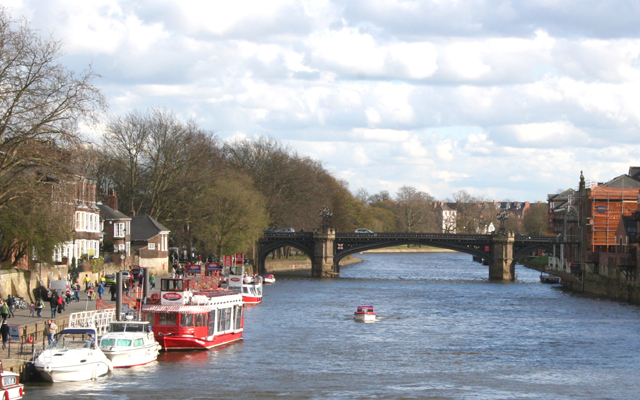
English: Skeldergate Bridge. It was built as a toll bridge between 1878 and 1880.
A small arch by the former tollhouse at the east end of the bridge was originally designed to open so that tall ships could sail up to the quays on either side of the river between Skeldergate and Ouse Bridges. Skeldergate Bridge was formally declared free of tolls on April 1, 1914. More info 765576 Photo taken from Low Ousegate Bridge. |
| Date | |
| Source | From geograph.org.uk |
| Author | terry joyce |
| Attribution (required by the license) | terry joyce / Skeldergate Bridge / |
| Camera location | | View this and other nearby images on: OpenStreetMap |
|---|
_heading:157.00&language=en)
| Object location | | View this and other nearby images on: OpenStreetMap |
|---|
_heading:157.00&language=en)
Licensing
[edit]

|
This image was taken from the Geograph project collection. See this photograph's page on the Geograph website for the photographer's contact details. The copyright on this image is owned by terry joyce and is licensed for reuse under the Creative Commons Attribution-ShareAlike 2.0 license.
|
This file is licensed under the Creative Commons Attribution-Share Alike 2.0 Generic license.
Attribution: terry joyce
- You are free:
- to share – to copy, distribute and transmit the work
- to remix – to adapt the work
- Under the following conditions:
- attribution – You must give appropriate credit, provide a link to the license, and indicate if changes were made. You may do so in any reasonable manner, but not in any way that suggests the licensor endorses you or your use.
- share alike – If you remix, transform, or build upon the material, you must distribute your contributions under the same or compatible license as the original.
File history
Click on a date/time to view the file as it appeared at that time.
| Date/Time | Thumbnail | Dimensions | User | Comment | |
|---|---|---|---|---|---|
| current | 23:01, 19 February 2011 | | 640 × 400 (269 KB) | GeographBot (talk | contribs) | == {{int:filedesc}} == {{Information |description={{en|1=Skeldergate Bridge It was built as a toll bridge between 1878 and 1880. A small arch by the former tollhouse at the east end of the bridge was originally designed to open so that tall ships could s |
You cannot overwrite this file.
File usage on Commons
There are no pages that use this file.