File:Slovenia, administrative divisions - mk (statistical regions).svg
Jump to navigation
Jump to search

Size of this PNG preview of this SVG file: 800 × 592 pixels. Other resolutions: 320 × 237 pixels | 640 × 474 pixels | 1,024 × 758 pixels | 1,280 × 948 pixels | 2,560 × 1,896 pixels | 1,160 × 859 pixels.
Original file (SVG file, nominally 1,160 × 859 pixels, file size: 176 KB)
Captions
Captions
Add a one-line explanation of what this file represents
Summary
[edit].svg&action=edit§ion=1)
| Description |
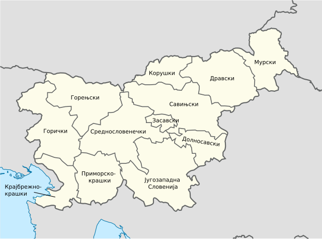
Македонски: Карта на регионите во Словенија на македонски.
English: Map of the regions of Slovenia in Macedonian. |
| Date | |
| Source | based on this map |
| Author | TUBS, derivative: MacedonianBoy |
Licensing
[edit].svg&action=edit§ion=2)
I, the copyright holder of this work, hereby publish it under the following license:
This file is licensed under the Creative Commons Attribution-Share Alike 3.0 Unported license.
- You are free:
- to share – to copy, distribute and transmit the work
- to remix – to adapt the work
- Under the following conditions:
- attribution – You must give appropriate credit, provide a link to the license, and indicate if changes were made. You may do so in any reasonable manner, but not in any way that suggests the licensor endorses you or your use.
- share alike – If you remix, transform, or build upon the material, you must distribute your contributions under the same or compatible license as the original.
File history
Click on a date/time to view the file as it appeared at that time.
| Date/Time | Thumbnail | Dimensions | User | Comment | |
|---|---|---|---|---|---|
| current | 13:34, 2 September 2021 | | 1,160 × 859 (176 KB) | Bjankuloski06 (talk | contribs) | Corrected names |
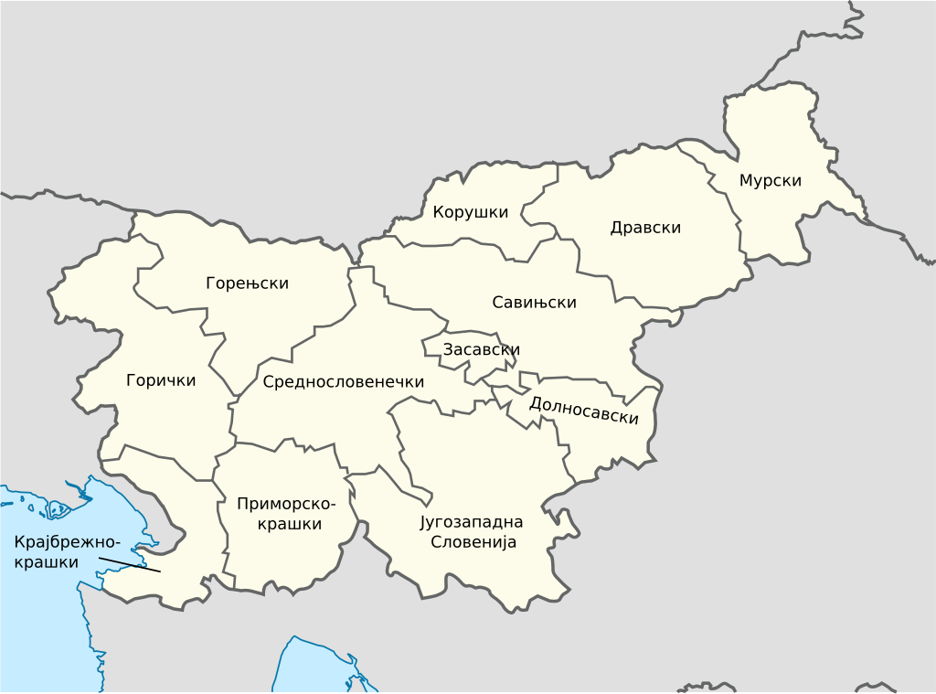
| 15:39, 23 August 2012 |  | 1,160 × 859 (120 KB) | MacedonianBoy (talk | contribs) |
You cannot overwrite this file.
File usage on Commons
The following 2 pages use this file:
File usage on other wikis
The following other wikis use this file:
- Usage on mk.wikipedia.org
Metadata
.svg&oldid=698002634)
Categories:
- SVG labeled maps of administrative divisions of Slovenia (location map scheme)
- PNG locator maps of statistical regions in Slovenia (location map scheme)
- SVG labeled maps of administrative divisions of countries of Europe (location map scheme) (monochrome scheme)
- SVG labeled maps of administrative divisions of countries of Europe (location map scheme) (macedonian)