File:Snow Hill platforms 2467013.jpg
Jump to navigation
Jump to search

Size of this preview: 800 × 600 pixels. Other resolutions: 320 × 240 pixels | 640 × 480 pixels | 1,024 × 768 pixels | 1,280 × 960 pixels | 2,560 × 1,920 pixels | 3,488 × 2,616 pixels.
Original file (3,488 × 2,616 pixels, file size: 3.01 MB, MIME type: image/jpeg)
Captions
Captions
Add a one-line explanation of what this file represents
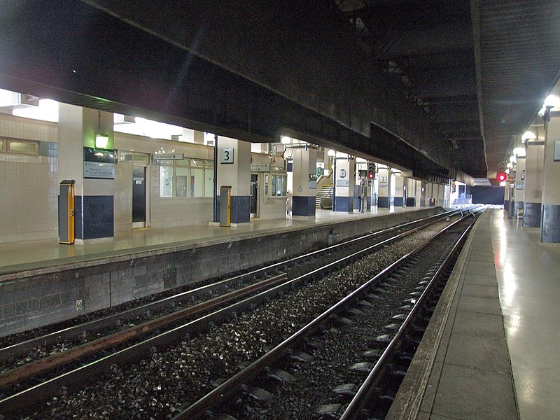
| Description | Platforms 2 and 3 of Birmingham Snow Hill station, looking east towards Snow Hill tunnel. | ||
| Date | |||
| Source | Geograph project | ||
| Author | Chris Whippet | ||
| Permission (Reusing this file) |
This file is licensed under the Creative Commons Attribution-Share Alike 2.0 Generic license. Attribution: Chris Whippet
|
||
| Attribution (required by the license) | Chris Whippet / Birmingham Snow Hill / | ||

| Camera location | | View this and other nearby images on: OpenStreetMap |
|---|
_heading:135.00&language=en)
| Object location | | View this and other nearby images on: OpenStreetMap |
|---|
_heading:135.00&language=en)
File history
Click on a date/time to view the file as it appeared at that time.
| Date/Time | Thumbnail | Dimensions | User | Comment | |
|---|---|---|---|---|---|
| current | 03:09, 14 February 2013 | | 3,488 × 2,616 (3.01 MB) | G-13114 (talk | contribs) | {{Information |Description= Platforms 2 and 3 of Birmingham snow Hill station. |Source= Geograph project |Date=13th June 2011 |Author= Chris Whippet |Permission= {{Geograph|2467013|Chris Whippet}} |other_versions= }} [[Category:Birmingham Snow Hill s... |
You cannot overwrite this file.
File usage on Commons
The following page uses this file: