File:South Pacific Mandate map in 1930s.PNG
跳至導覽
跳至搜尋

預覽大小:800 × 489 像素。 其他解析度:320 × 196 像素 | 640 × 391 像素 | 1,024 × 626 像素 | 1,280 × 783 像素 | 1,751 × 1,071 像素。
原始檔案 (1,751 × 1,071 像素,檔案大小:895 KB,MIME 類型:image/png)
說明
說明
添加單行說明來描述出檔案所代表的內容
摘要
[編輯]
| 描述 |
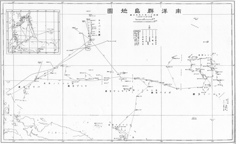
English: South Pacific Mandate map in 1930s 日本語: 1930年代の南洋群島地図 |
| 日期 | 1930年代 |
| 來源 |
English: Japanese book "Photograph collection of exterior territories of Japan" published by Tokai-Tsushinsha. 日本語: 東海通信社「大日本外地写真帖」より。 |
| 作者 | 未知 |
授權條款
[編輯]
 | ||
 |
致上傳者:請提供來源及出版日期。
|
檔案歷史
點選日期/時間以檢視該時間的檔案版本。
| 日期/時間 | 縮圖 | 尺寸 | 使用者 | 備註 | |
|---|---|---|---|---|---|
| 目前 | 2010年12月23日 (四) 00:28 | | 1,751 × 1,071(895 KB) | あばさー(留言 | 貢獻) | {{Information |Description={{en|South Pacific Mandate map in 1930s}}{{ja|1930年代の南洋群島地図}} |Source={{en|Japanese book "Photograph collection of exterior territories of Japan" published by Tokai-Tsushinsha.}}{{ja|東海通信社「大日本 |
無法覆蓋此檔案。
檔案用途
沒有使用此檔案的頁面。
全域檔案使用狀況
以下其他 wiki 使用了這個檔案:
- azb.wikipedia.org 的使用狀況
- bn.wikipedia.org 的使用狀況
- de.wikipedia.org 的使用狀況
- en.wikipedia.org 的使用狀況
- fa.wikipedia.org 的使用狀況
- id.wikipedia.org 的使用狀況
- ko.wikipedia.org 的使用狀況
- vi.wikipedia.org 的使用狀況
- zh.wikipedia.org 的使用狀況