File:Souvenir shops - geograph.org.uk - 904165.jpg
Jump to navigation
Jump to search
No higher resolution available.
Souvenir_shops_-_geograph.org.uk_-_904165.jpg (640 × 480 pixels, file size: 140 KB, MIME type: image/jpeg)
Captions
Captions
Add a one-line explanation of what this file represents
Summary[edit]
| Description |
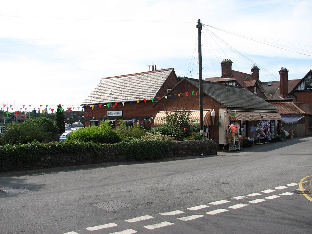
English: Souvenir shops And St Benet's Hall beyond; the view was taken across Lower Street from the junction with Mill Loke. The village of Horning is situated on the northern bank of the River Bure, stretching for about a mile. Lower Street, its main thoroughfare, runs parallel to the river; it is lined with shops, restaurants, B&B establishments and attractive houses and cottages. The history of Horning dates back to 1020 when the manor was given by King Canute to the newly founded Abbey of St Benet. |
| Date | |
| Source | From geograph.org.uk |
| Author | Evelyn Simak |
| Attribution (required by the license) | Evelyn Simak / Souvenir shops / |
| Camera location | | View this and other nearby images on: OpenStreetMap |
|---|
_heading:292.00&language=en)
| Object location | | View this and other nearby images on: OpenStreetMap |
|---|
_heading:292.00&language=en)
Licensing[edit]

|
This image was taken from the Geograph project collection. See this photograph's page on the Geograph website for the photographer's contact details. The copyright on this image is owned by Evelyn Simak and is licensed for reuse under the Creative Commons Attribution-ShareAlike 2.0 license.
|
This file is licensed under the Creative Commons Attribution-Share Alike 2.0 Generic license.
Attribution: Evelyn Simak
- You are free:
- to share – to copy, distribute and transmit the work
- to remix – to adapt the work
- Under the following conditions:
- attribution – You must give appropriate credit, provide a link to the license, and indicate if changes were made. You may do so in any reasonable manner, but not in any way that suggests the licensor endorses you or your use.
- share alike – If you remix, transform, or build upon the material, you must distribute your contributions under the same or compatible license as the original.
File history
Click on a date/time to view the file as it appeared at that time.
| Date/Time | Thumbnail | Dimensions | User | Comment | |
|---|---|---|---|---|---|
| current | 20:39, 21 February 2011 | | 640 × 480 (140 KB) | GeographBot (talk | contribs) | == {{int:filedesc}} == {{Information |description={{en|1=Souvenir shops And St Benet's Hall beyond; the view was taken across Lower Street from the junction with Mill Loke. The village of Horning is situated on the northern bank of the River Bure, stretch |
You cannot overwrite this file.
File usage on Commons
There are no pages that use this file.