File:State Route 67, Wyandot County, Ohio.svg
Jump to navigation
Jump to search

Size of this PNG preview of this SVG file: 400 × 600 pixels. Other resolutions: 160 × 240 pixels | 320 × 480 pixels | 512 × 768 pixels | 683 × 1,024 pixels | 1,366 × 2,048 pixels | 401 × 601 pixels.
Original file (SVG file, nominally 401 × 601 pixels, file size: 5 KB)
Captions
Captions
Add a one-line explanation of what this file represents
Summary[edit]
| Description |
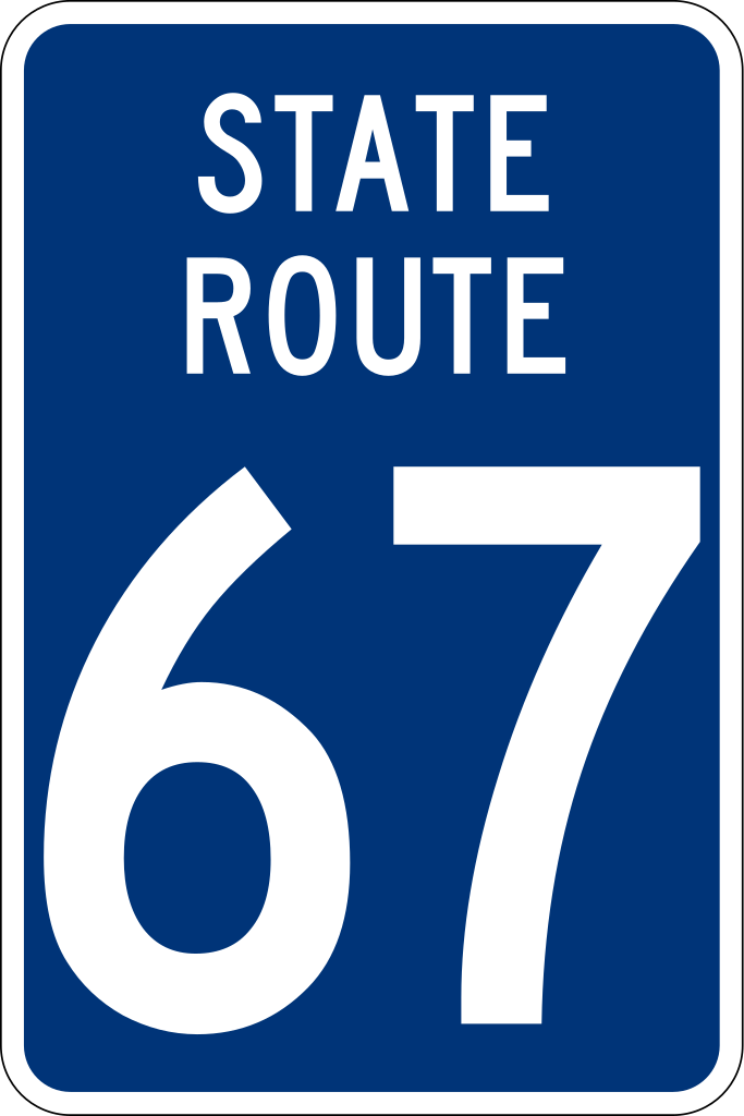
English: Shield for Ohio State Route 67 in Wyandot County, Ohio, as seen at [1]. These shields are only posted by the Wyandot County Engineer’s Office at intersections with county and township highways; the Ohio Department of Transportation still uses the statewide standard shield in other contexts. Based on File:Wyandot County, Ohio, state route shield template.svg. |
| Date | |
| Source | Own work |
| Author | Minh Nguyen |
| Other versions |
This file was derived from: Wyandot County, Ohio, state route shield template.svg |
Licensing[edit]
| This image of simple geometry is ineligible for copyright and therefore in the public domain, because it consists entirely of information that is common property and contains no original authorship. |  |
File history
Click on a date/time to view the file as it appeared at that time.
| Date/Time | Thumbnail | Dimensions | User | Comment | |
|---|---|---|---|---|---|
| current | 17:49, 6 January 2021 | | 401 × 601 (5 KB) | Fredddie (talk | contribs) | this is more like what it looks like |
| 21:11, 25 October 2020 |  | 600 × 600 (11 KB) | Mxn (talk | contribs) | Uploaded own work with UploadWizard |
You cannot overwrite this file.
File usage on Commons
The following page uses this file:
File usage on other wikis
The following other wikis use this file:
- Usage on en.wikipedia.org