File:Staustufe Kochendorf.jpg
Jump to navigation
Jump to search
Size of this preview: 800 × 558 pixels. Other resolutions: 320 × 223 pixels | 640 × 447 pixels | 1,024 × 714 pixels | 1,280 × 893 pixels | 2,560 × 1,786 pixels | 3,937 × 2,747 pixels.
Original file (3,937 × 2,747 pixels, file size: 842 KB, MIME type: image/jpeg)
Captions
Captions
Add a one-line explanation of what this file represents
Summary[edit]
| Description |
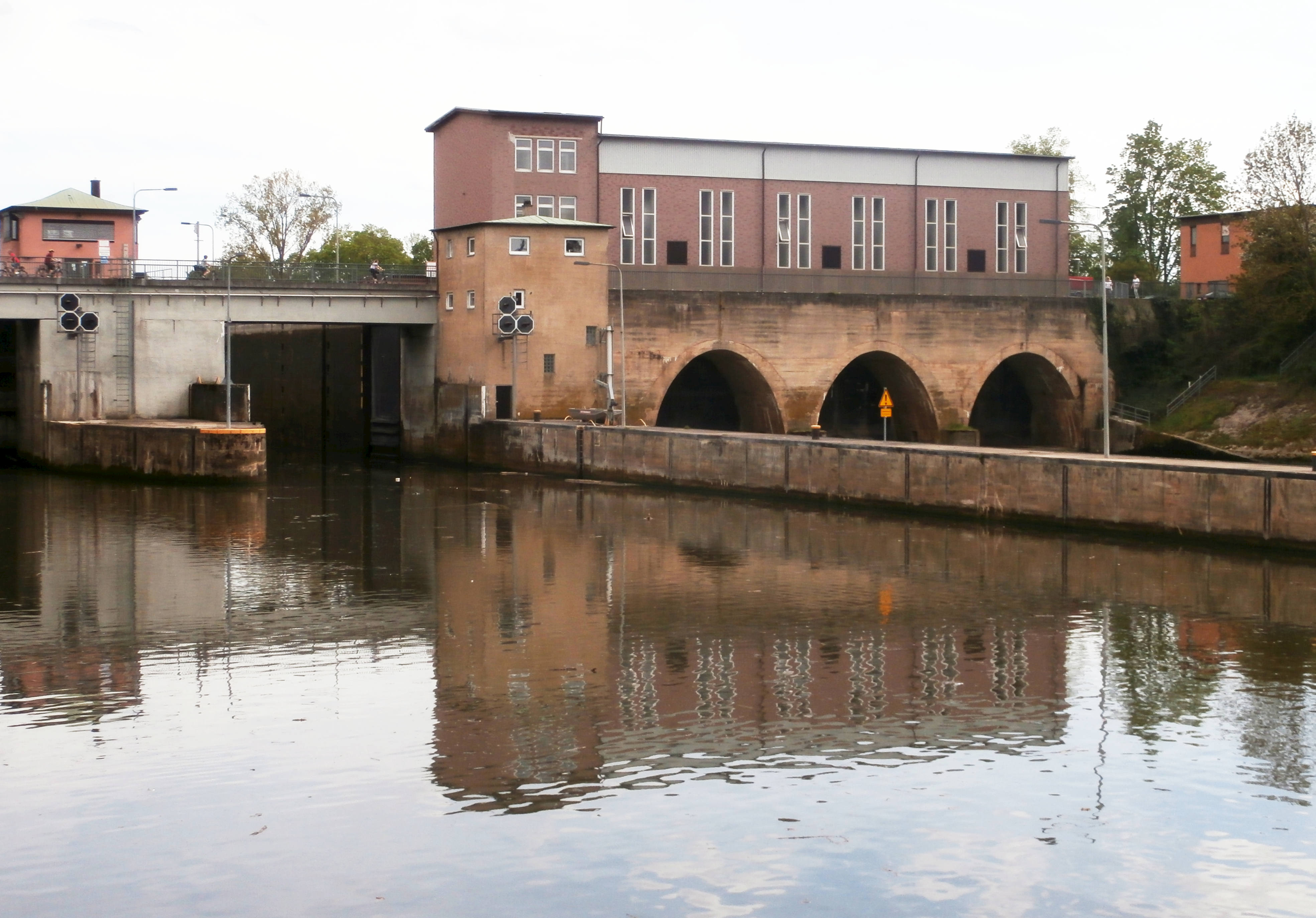
Deutsch: Blick auf die Staustufe des Neckarkanals in Kochendorf, vom rechten Ufer der Unterwasser-Seite:
|
| Date | |
| Source | Own work |
| Author | Sarang |
| Other versions |
|

| Object location | | View this and other nearby images on: OpenStreetMap |
|---|
Licensing[edit]
| I, the copyright holder of this work, release this work into the public domain. This applies worldwide. In some countries this may not be legally possible; if so: I grant anyone the right to use this work for any purpose, without any conditions, unless such conditions are required by law. |
File history
Click on a date/time to view the file as it appeared at that time.
| Date/Time | Thumbnail | Dimensions | User | Comment | |
|---|---|---|---|---|---|
| current | 14:34, 10 May 2021 | | 3,937 × 2,747 (842 KB) | Sarang (talk | contribs) | {{Information |Description={{de|Blick auf die {{wd|Schleuse Kochendorf|Staustufe}} des {{Wd|Seitenkanal Kochendorf|Neckarkanal}}s in Kochendorf, von der Unterwasser-Seite: * links die beiden Schleusenkammern für die Schifffahrt, mit dem Gebäude der Schleusensteuerung * rechts das Kraftwerk Kochendorf der EnBW; ganz rechts außen ein weiteres Gebäude der Anlage}} |Date=2021-05-09 |Source={{Own}} |Author={{U|Sarang}} }} {{Object location|49°13′02.4″N 09°12′27.9″E}} == {{int:license-header}} ==... |
You cannot overwrite this file.
File usage on Commons
The following 3 pages use this file: