File:Stouffville Map 1880.jpg
Jump to navigation
Jump to search
No higher resolution available.
Stouffville_Map_1880.jpg (720 × 349 pixels, file size: 123 KB, MIME type: image/jpeg)
Captions
Captions
Add a one-line explanation of what this file represents
Summary[edit]
| Description |
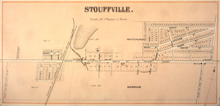
English: Map of Stouffville, 1880 |
| Date | |
| Source | Canadian County Atlas Digital Project, McGill University (link) |
| Author | Unknown author |
| Permission (Reusing this file) |
Copyright expired |
Licensing[edit]
|
This work is in the public domain in its country of origin and other countries and areas where the copyright term is the author's life plus 100 years or fewer. | |
| This file has been identified as being free of known restrictions under copyright law, including all related and neighboring rights. | |
Original upload log[edit]
Transferred from en.wikipedia to Commons using For the Common Good.
The original description page was here. All following user names refer to en.wikipedia.
| Date/Time | Dimensions | User | Comment |
|---|---|---|---|
| 12:09, 8 July 2010 | 720 × 349 (125,675 bytes) | w:en:Neufast (talk | contribs) | {{Information |Description = Map of Stouffville, 1880 |Source = Canadian County Atlas Digital Project, McGill University |Date = 1880 |Author = Unknown |Permission = Copyright expired |other_versions = http://digital |
File history
Click on a date/time to view the file as it appeared at that time.
| Date/Time | Thumbnail | Dimensions | User | Comment | |
|---|---|---|---|---|---|
| current | 14:30, 7 July 2014 | | 720 × 349 (123 KB) | Josve05a (talk | contribs) | Transferred from en.wikipedia: see original upload log above |
You cannot overwrite this file.
File usage on Commons
There are no pages that use this file.
File usage on other wikis
The following other wikis use this file:
- Usage on en.wikipedia.org