File:Suite du Neptune françois, ou atlas nouveau des cartes marines (1700).pdf
Jump to navigation
Jump to search

Size of this JPG preview of this PDF file: 464 × 599 pixels. Other resolutions: 186 × 240 pixels | 372 × 480 pixels | 595 × 768 pixels | 793 × 1,024 pixels | 1,435 × 1,852 pixels.

Original file (1,435 × 1,852 pixels, file size: 43.49 MB, MIME type: application/pdf, 65 pages)
Captions
Captions
Add a one-line explanation of what this file represents
Summary[edit]
| Pieter Mortier I: Suite du Neptune françois, ou atlas nouveau des cartes marines
|
||||||||||||||||||||||||
|---|---|---|---|---|---|---|---|---|---|---|---|---|---|---|---|---|---|---|---|---|---|---|---|---|
| Author |
|
 | ||||||||||||||||||||||
| Title |
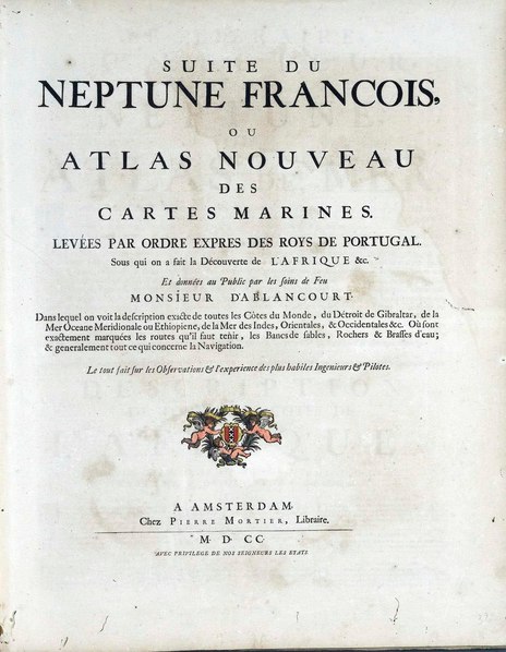
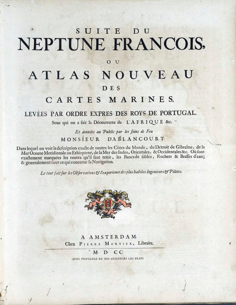
Suite du Neptune françois, ou atlas nouveau des cartes marines |
|||||||||||||||||||||||
| Subtitle | dans lequel on voit la description exacte de toutes les côtes du monde, du Détroit de Gibraltar, de la Mer Oceane Meridionale ou Ethiopiene, de la Mer des Indes, Orientales, & Occidentales &c. Où sont exactement marquées les routes quªil faut tenir, les bancs de sables, rochers & brasses dªeau; & generalement tout ce qui concerne la Navigation / Levées par ordre expres des roys de Portugal. Sous qui on a fait la Déconverte de LªAfrique &c. Et données au Public par les soins de Feu Monsieur dªAblancourt. | |||||||||||||||||||||||
| Volume | 3 | |||||||||||||||||||||||
| Publisher |
|
|||||||||||||||||||||||
| Printer |
Auguste Bry |
|||||||||||||||||||||||
| Language | French | |||||||||||||||||||||||
| Publication date | 1700 | |||||||||||||||||||||||
| Place of publication | Amsterdam | |||||||||||||||||||||||
| Source | Biblioteca Nacional de Portugal | |||||||||||||||||||||||
Licensing[edit]
|
This work is in the public domain in its country of origin and other countries and areas where the copyright term is the author's life plus 70 years or fewer. This work is in the public domain in the United States because it was published (or registered with the U.S. Copyright Office) before January 1, 1929. | |
| This file has been identified as being free of known restrictions under copyright law, including all related and neighboring rights. | |
File history
Click on a date/time to view the file as it appeared at that time.
| Date/Time | Thumbnail | Dimensions | User | Comment | |
|---|---|---|---|---|---|
| current | 16:40, 16 March 2021 |  | 1,435 × 1,852, 65 pages (43.49 MB) | Giro720 (talk | contribs) | {{Book |Author = {{Creator:Pieter Mortier}} |Translator = |Editor = |Illustrator = |Title = Suite du Neptune françois, ou atlas nouveau des cartes marines |Subtitle = dans lequel on voit la description exacte de toutes les côtes du monde, du Détroit de Gibraltar, de la Mer Oceane Meridionale ou Ethiopiene, de la Mer des Indes, Orientales, & Occidentales &c. Où sont exactement marquées les routes quªil faut tenir, les bancs de sables, rochers & brasses dªeau; & generalement tout ce qu... |
You cannot overwrite this file.
File usage on Commons
The following page uses this file: