File:Syria districts.png
跳转到导航
跳转到搜索

本预览的尺寸:800 × 564像素。 其他分辨率:320 × 226像素 | 640 × 451像素 | 1,024 × 722像素 | 1,228 × 866像素。
原始文件 (1,228 × 866像素,文件大小:25 KB,MIME类型:image/png)
说明
说明
添加一行文字以描述该文件所表现的内容
摘要
[编辑]
| 描述 |
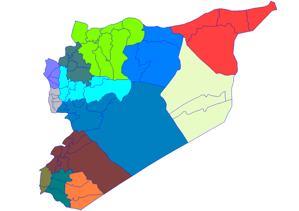
English: Historic map of the districts of Syria. It does not show districts that have been created since 2007, eg, Atarib, Dayr Hafir and Qudsaya. |
||
| 日期 | |||
| 来源 | Created by Rarelibra 15:51, 8 May 2007 (UTC) for public domain use, using MapInfo Professional v8.5 and various mapping resources. | ||
| 作者 | Rarelibra | ||
| 授权 (二次使用本文件) |
|
文件历史
点击某个日期/时间查看对应时刻的文件。
| 日期/时间 | 缩略图 | 大小 | 用户 | 备注 | |
|---|---|---|---|---|---|
| 当前 | 2007年5月8日 (二) 19:28 | | 1,228 × 866(25 KB) | Anas Salloum(留言 | 贡献) | modified with permission of original author |
| 2007年5月8日 (二) 15:51 |  | 1,281 × 878(21 KB) | Rarelibra(留言 | 贡献) | Map of the districts of Syria. Created by ~~~~ for public domain use, using MapInfo Professional v8.5 and various mapping resources. |
您不可以覆盖此文件。
文件用途
全域文件用途
以下其他wiki使用此文件:
- ar.wikipedia.org上的用途
- azb.wikipedia.org上的用途
- az.wikipedia.org上的用途
- bn.wikipedia.org上的用途
- ckb.wikipedia.org上的用途
- ویکیپرۆژە:کۆمەڵە وتارەکان/شارەکانی سووریا/ڕەگ
- حەلەب
- لازقیە
- حەما
- دێرەزوور
- ڕەققە
- ئیدلیب
- ئەلباب
- دوما
- جەرمانا
- سەلەمیە
- دەرعا
- حەجەر ئەسوەد
- مەعەڕەت نوعمان
- تەرتووس
- دارەیا
- ئەلتەورە
- جەبلە
- سووەیدا
- نەوا، سووریا
- ئەلتەل
- ئەلڕەستەن
- ئەریحا
- ئەلنەبک
- مەیادین
- یەبرود
- قوسەیر
- حەرەستا
- جسر شوغور
- بانیاس
- جەیرود
- قەریەتەین
- مەعڕەت مسرین
- مەسیاف
查看此文件的更多全域用途。