File:Tajikistan location map.svg
Jump to navigation
Jump to search

Size of this PNG preview of this SVG file: 791 × 600 pixels. Other resolutions: 317 × 240 pixels | 633 × 480 pixels | 1,013 × 768 pixels | 1,280 × 970 pixels | 2,560 × 1,941 pixels | 1,191 × 903 pixels.
Original file (SVG file, nominally 1,191 × 903 pixels, file size: 206 KB)
Captions
Captions
Add a one-line explanation of what this file represents
Summary
[edit]
| Description |
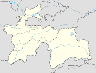
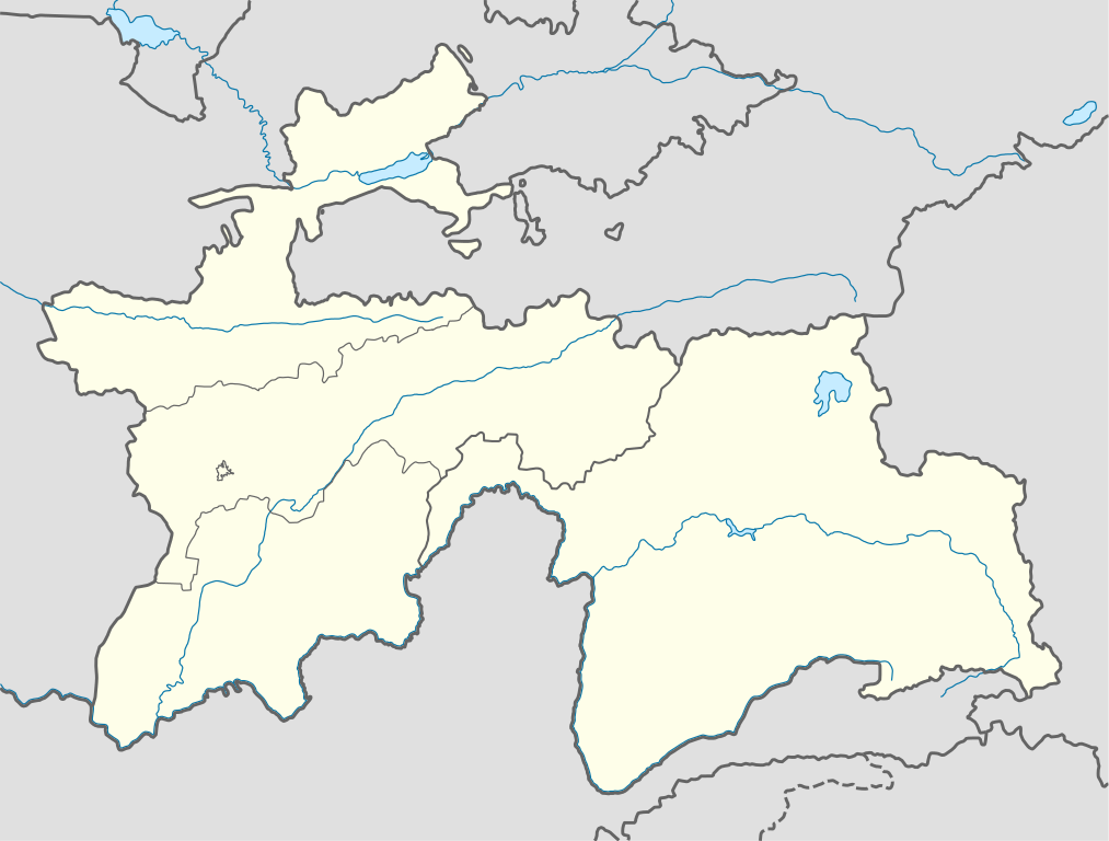
Deutsch: Positionskarte von Tadschikistan
Quadratische Plattkarte, N-S-Streckung 130 %. Geographische Begrenzung der Karte:
English: Location map of Tajikistan
Equirectangular projection, N/S stretching 130 %. Geographic limits of the map:
|
| Date | |
| Source |
own work, using
|
| Author | NordNordWest |

|
This map has been made or improved in the German Kartenwerkstatt (Map Lab). You can propose maps to improve as well.
|
Licensing
[edit]
I, the copyright holder of this work, hereby publish it under the following licenses:

|
Permission is granted to copy, distribute and/or modify this document under the terms of the GNU Free Documentation License, Version 1.2 or any later version published by the Free Software Foundation; with no Invariant Sections, no Front-Cover Texts, and no Back-Cover Texts. A copy of the license is included in the section entitled GNU Free Documentation License. |
This file is licensed under the Creative Commons Attribution-Share Alike 3.0 Unported license.
- You are free:
- to share – to copy, distribute and transmit the work
- to remix – to adapt the work
- Under the following conditions:
- attribution – You must give appropriate credit, provide a link to the license, and indicate if changes were made. You may do so in any reasonable manner, but not in any way that suggests the licensor endorses you or your use.
- share alike – If you remix, transform, or build upon the material, you must distribute your contributions under the same or compatible license as the original.
You may select the license of your choice.
File history
Click on a date/time to view the file as it appeared at that time.
| Date/Time | Thumbnail | Dimensions | User | Comment | |
|---|---|---|---|---|---|
| current | 09:38, 16 December 2013 | | 1,191 × 903 (206 KB) | NordNordWest (talk | contribs) | Reverted to version as of 16:56, 21 October 2013; not according to the global location map scheme |
| 09:37, 16 December 2013 |  | 1,886 × 1,432 (269 KB) | Transoxsiana (talk | contribs) | 1 | |
| 16:56, 21 October 2013 |  | 1,191 × 903 (206 KB) | NordNordWest (talk | contribs) | upd | |
| 16:53, 23 October 2008 |  | 1,191 × 905 (324 KB) | NordNordWest (talk | contribs) | ||
| 21:32, 26 September 2008 |  | 1,191 × 905 (325 KB) | NordNordWest (talk | contribs) | {{Information |Description= {{de|Positionskarte von Tadschikistan}} Quadratische Plattkarte, N-S-Streckung 130 %. Geographische Begrenzung der Karte: * N: 41.3° N * S: 36.4° N * W: 67.1° O * O: 75.5° O {{en|Location map of [[:en: |
You cannot overwrite this file.
File usage
The following 7 pages use this file:
- User:NordNordWest/Gallery/Location maps
- File:Districts of Republican Subordination in Tajikistan.svg
- File:Dushanbe in Tajikistan.svg
- File:Dushanbe in Tajikistan (special marker).svg
- File:Gorno-Badakhshan Autonomous Province in Tajikistan.svg
- File:Khatlon Province in Tajikistan.svg
- File:Sughd Province in Tajikistan.svg
.svg)
Global file usage
The following other wikis use this file:
- Usage on be-tarask.wikipedia.org
- Usage on bg.wikipedia.org
- Usage on bn.wikipedia.org
- Usage on bs.wikipedia.org
- Usage on ce.wikipedia.org
- Usage on cs.wikipedia.org
- Usage on da.wikipedia.org
- Usage on de.wikipedia.org
- Usage on el.wikipedia.org
- Usage on en.wikipedia.org
- Usage on eo.wikipedia.org
- Usage on es.wikipedia.org
- Usage on et.wikipedia.org
- Usage on eu.wikipedia.org
- Usage on fa.wikipedia.org
- Usage on fr.wikipedia.org
- Usage on he.wikivoyage.org
- Usage on hu.wikipedia.org
- Usage on id.wikipedia.org
- Usage on io.wikipedia.org
- Usage on ka.wikipedia.org
- Usage on kbd.wikipedia.org
- Usage on kk.wikipedia.org
View more global usage of this file.