File:The Corn Is Sown - geograph.org.uk - 737686.jpg
Jump to navigation
Jump to search

Size of this preview: 800 × 600 pixels. Other resolutions: 320 × 240 pixels | 640 × 480 pixels | 1,024 × 768 pixels | 1,280 × 960 pixels | 1,744 × 1,308 pixels.
Original file (1,744 × 1,308 pixels, file size: 1.2 MB, MIME type: image/jpeg)
Captions
Captions
Add a one-line explanation of what this file represents
Summary
[edit]
| Description |
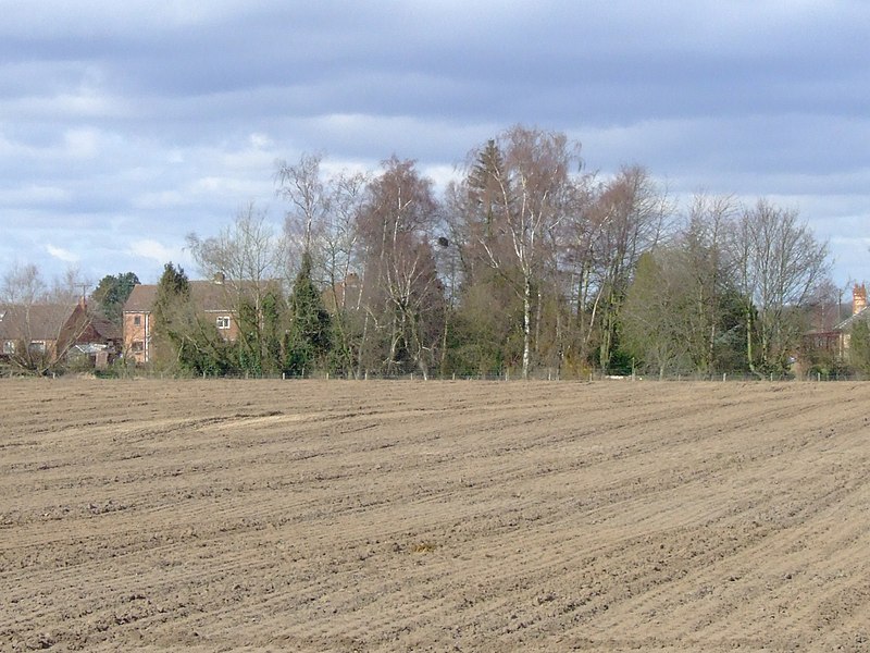
English: The Corn Is Sown at Wilberfoss, East Riding of Yorkshire, England. Facing North towards Ling Lane The field in Birker Lane that had pigs for years is now sown with corn. The houses in the background are on Ling Lane near to where Storking Lane becomes Ling Lane. |
| Date | |
| Source | From geograph.org.uk |
| Author | Keith Laverack |
| Permission (Reusing this file) |
Creative Commons Attribution Share-alike license 2.0 |
| Attribution (required by the license) | Keith Laverack / The Corn Is Sown / |
| Camera location | | View this and other nearby images on: OpenStreetMap |
|---|
_heading:292.00&language=en)
| Object location | | View this and other nearby images on: OpenStreetMap |
|---|
_heading:292.00&language=en)
Licensing
[edit]

|
This image was taken from the Geograph project collection. See this photograph's page on the Geograph website for the photographer's contact details. The copyright on this image is owned by Keith Laverack and is licensed for reuse under the Creative Commons Attribution-ShareAlike 2.0 license.
|
This file is licensed under the Creative Commons Attribution-Share Alike 2.0 Generic license.
Attribution: Keith Laverack
- You are free:
- to share – to copy, distribute and transmit the work
- to remix – to adapt the work
- Under the following conditions:
- attribution – You must give appropriate credit, provide a link to the license, and indicate if changes were made. You may do so in any reasonable manner, but not in any way that suggests the licensor endorses you or your use.
- share alike – If you remix, transform, or build upon the material, you must distribute your contributions under the same or compatible license as the original.
File history
Click on a date/time to view the file as it appeared at that time.
| Date/Time | Thumbnail | Dimensions | User | Comment | |
|---|---|---|---|---|---|
| current | 22:25, 30 August 2017 | | 1,744 × 1,308 (1.2 MB) | Geograph Update Bot (talk | contribs) | Higher-resolution version from Geograph. |
| 09:20, 19 February 2011 |  | 640 × 480 (81 KB) | GeographBot (talk | contribs) | == {{int:filedesc}} == {{Information |description={{en|1=The Corn Is Sown Facing North towards Ling Lane The field in Birker Lane that had pigs for years is now sown with corn. The houses in the background are on Ling Lane near to where Storking Lane beco |
You cannot overwrite this file.
File usage on Commons
There are no pages that use this file.