File:The University of Notre Dame is a Catholic research university located in Notre Dame, an unincorporated community north of the city of South Bend, in St. Joseph County, Indiana LCCN2013650737.tif
Jump to navigation
Jump to search

Size of this JPG preview of this TIF file: 400 × 599 pixels. Other resolutions: 160 × 240 pixels | 320 × 480 pixels | 512 × 768 pixels | 683 × 1,024 pixels | 1,367 × 2,048 pixels | 4,912 × 7,360 pixels.

Original file (4,912 × 7,360 pixels, file size: 206.9 MB, MIME type: image/tiff, 2 pages)
Captions
Captions
Add a one-line explanation of what this file represents
Summary[edit]
| Description |
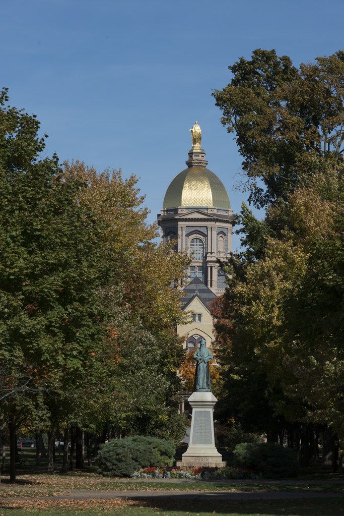
English: Title: The University of Notre Dame is a Catholic research university located in Notre Dame, an unincorporated community north of the city of South Bend, in St. Joseph County, Indiana
Physical description: 1 photograph : digital, TIFF file, color. Notes: Credit line: Photographs in the Carol M. Highsmith Archive, Library of Congress, Prints and Photographs Division.; Forms part of the Carol M. Highsmith Archive.; Title, date, subject note, and keywords based on information provided by the photographer.; Gift; Carol M. Highsmith; 2012; (DLC/PP-2002:038-9). |
||||||||||||||||||||||||||
| Date | |||||||||||||||||||||||||||
| Source |
Library of Congress
|
||||||||||||||||||||||||||
| Author |
|
||||||||||||||||||||||||||
| Permission (Reusing this file) |
No known restrictions on publication.
|
||||||||||||||||||||||||||


| Camera location | | View this and other nearby images on: OpenStreetMap |
|---|
Licensing[edit]
| This work is from the Carol M. Highsmith Archive collection at the Library of Congress. According to the library, there are no known copyright restrictions on the use of this work. Carol M. Highsmith has stipulated that her photographs are in the public domain. Photographs of sculpture or other works of art may be restricted by the copyright of the artist. |
 |
File history
Click on a date/time to view the file as it appeared at that time.
| Date/Time | Thumbnail | Dimensions | User | Comment | |
|---|---|---|---|---|---|
| current | 09:40, 4 October 2016 |  | 4,912 × 7,360, 2 pages (206.9 MB) | Fæ (talk | contribs) | LOC 2013650737, Carol M. Highsmith collection. P1001.24959 TIFF (206.9mb) |
You cannot overwrite this file.
File usage on Commons
There are no pages that use this file.