File:The summit of Carn Ghluasaid - geograph.org.uk - 775383.jpg
Jump to navigation
Jump to search

Size of this preview: 800 × 544 pixels. Other resolutions: 320 × 218 pixels | 640 × 435 pixels | 1,024 × 696 pixels.
Original file (1,024 × 696 pixels, file size: 1.17 MB, MIME type: image/jpeg)
Captions
Captions
Add a one-line explanation of what this file represents
Summary
[edit]
| Description |
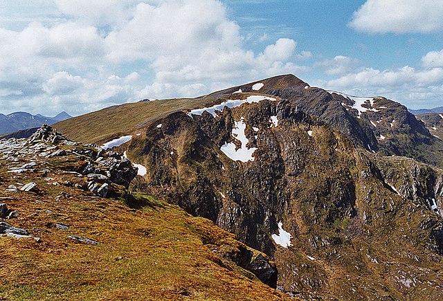
English: The summit of Carn Ghluasaid The cairn on the left appears to mark the summit, and corresponds to the 1:25000 map; the 1:50000 map seems a bit inaccurate here. Beyond lies the great eastern face of Creag a' Chaorainn, with Sgurr nan Conbhairean in the distance. |
| Date | |
| Source | From geograph.org.uk |
| Author | Nigel Brown |
| Attribution (required by the license) | Nigel Brown / The summit of Carn Ghluasaid / |
| Camera location | | View this and other nearby images on: OpenStreetMap |
|---|
_heading:292.00&language=en)
| Object location | | View this and other nearby images on: OpenStreetMap |
|---|
_heading:292.00&language=en)
Licensing
[edit]

|
This image was taken from the Geograph project collection. See this photograph's page on the Geograph website for the photographer's contact details. The copyright on this image is owned by Nigel Brown and is licensed for reuse under the Creative Commons Attribution-ShareAlike 2.0 license.
|
This file is licensed under the Creative Commons Attribution-Share Alike 2.0 Generic license.
Attribution: Nigel Brown
- You are free:
- to share – to copy, distribute and transmit the work
- to remix – to adapt the work
- Under the following conditions:
- attribution – You must give appropriate credit, provide a link to the license, and indicate if changes were made. You may do so in any reasonable manner, but not in any way that suggests the licensor endorses you or your use.
- share alike – If you remix, transform, or build upon the material, you must distribute your contributions under the same or compatible license as the original.
File history
Click on a date/time to view the file as it appeared at that time.
| Date/Time | Thumbnail | Dimensions | User | Comment | |
|---|---|---|---|---|---|
| current | 16:10, 16 May 2020 | | 1,024 × 696 (1.17 MB) | Geograph Update Bot (talk | contribs) | Higher-resolution version from Geograph. |
| 23:27, 19 February 2011 |  | 640 × 435 (113 KB) | GeographBot (talk | contribs) | == {{int:filedesc}} == {{Information |description={{en|1=The summit of Carn Ghluasaid The cairn on the left appears to mark the summit, and corresponds to the 1:25000 map; the 1:50000 map seems a bit inaccurate here. Beyond lies the great eastern face of |
You cannot overwrite this file.
File usage on Commons
The following 2 pages use this file:
File usage on other wikis
The following other wikis use this file:
- Usage on ceb.wikipedia.org
- Usage on cy.wikipedia.org
- Usage on de.wikipedia.org
- Usage on gd.wikipedia.org
- Usage on lld.wikipedia.org
- Usage on www.wikidata.org