File:Tower Hamlets London UK location map.svg
Ir a la navegación
Ir a la búsqueda

Tamaño de esta previsualización PNG del archivo SVG: 536 × 600 píxeles. Otras resoluciones: 214 × 240 píxeles | 429 × 480 píxeles | 686 × 768 píxeles | 915 × 1024 píxeles | 1830 × 2048 píxeles | 1131 × 1266 píxeles.
Archivo original (archivo SVG, nominalmente 1131 × 1266 píxeles, tamaño de archivo: 2,49 MB)
Leyendas
Leyendas
Añade una explicación corta acerca de lo que representa este archivo
| Descripción |
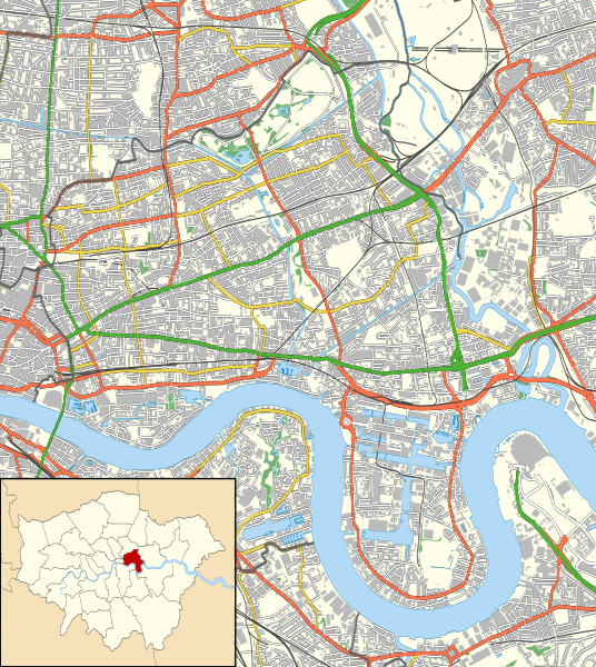
Location map of the London Borough of Tower Hamlets with the following information shown:
Equirectangular map projection on WGS 84 datum, with N/S stretched 160% Geographic limits:
|
| Fecha | |
| Fuente |
|
| Autor | Nilfanion |
| Permiso (Reutilización de este archivo) |
Este archivo se encuentra bajo la licencia Creative Commons Genérica de Atribución/Compartir-Igual 3.0. Atribución: Contains Ordnance Survey data © Crown copyright and database right
|
Historial del archivo
Haz clic sobre una fecha y hora para ver el archivo tal como apareció en ese momento.
| Fecha y hora | Miniatura | Dimensiones | Usuario | Comentario | |
|---|---|---|---|---|---|
| actual | 23:21 15 nov 2011 | | 1131 × 1266 (2,49 MB) | Nilfanion (discusión | contribs.) | {{Information |Description=Location map of the London Borough of Tower Hamlets with the following information shown: *{{legend|#646464|Ward boundaries}} *{{legend|#667fff|Motorways}} *{{legend|#4cb336|Primary routes}} |
No puedes sobrescribir este archivo.
Usos del archivo
No hay páginas que enlacen a este archivo.
Uso global del archivo
Las wikis siguientes utilizan este archivo:
- Uso en ar.wikipedia.org
- Uso en azb.wikipedia.org
- Uso en ceb.wikipedia.org
- Uso en en.wikipedia.org
- London Borough of Tower Hamlets
- Westferry DLR station
- Heron Quays DLR station
- Oranges and Lemons
- West India Docks
- Limehouse Town Hall
- Blackwall, London
- Limehouse Cut
- Canary Wharf DLR station
- Royal London Hospital
- Canada Square
- Poplar DLR station
- West India Quay DLR station
- East India DLR station
- Blackwall DLR station
- Commercial Road
- St Clement's Hospital
- All Saints DLR station
- Mile End Stadium
- Bow Church DLR station
- Millwall Dock
- Museum of London Docklands
- The Blind Beggar
- Young V&A
- The Grapes, Limehouse
- East India Docks
- Queen Elizabeth Hospital for Children
- Burdett Road railway station
- 1996 Docklands bombing
- Canary Wharf Pier
- Fieldgate Street Great Synagogue
- Masthouse Terrace Pier
- London Chest Hospital
- Mile End Hospital
- Canary Riverside Plaza
- Module:Location map/data/United Kingdom London Tower Hamlets/doc
- Chisenhale Gallery
- The Joiners Arms
- The Gun, Coldharbour
- Frank Dobson Square
- Module:Location map/data/United Kingdom London Tower Hamlets
- East India Dock Road
- Mulberry Place
- Bethnal Green Town Hall
- Poplar Town Hall
- St George's Town Hall
- Oliver's Wharf
Ver más uso global de este archivo.