File:Trinidad and Tobago rel location map.svg

Original file (SVG file, nominally 780 × 756 pixels, file size: 143 KB)
Captions
Captions
Summary[edit]
| Description |
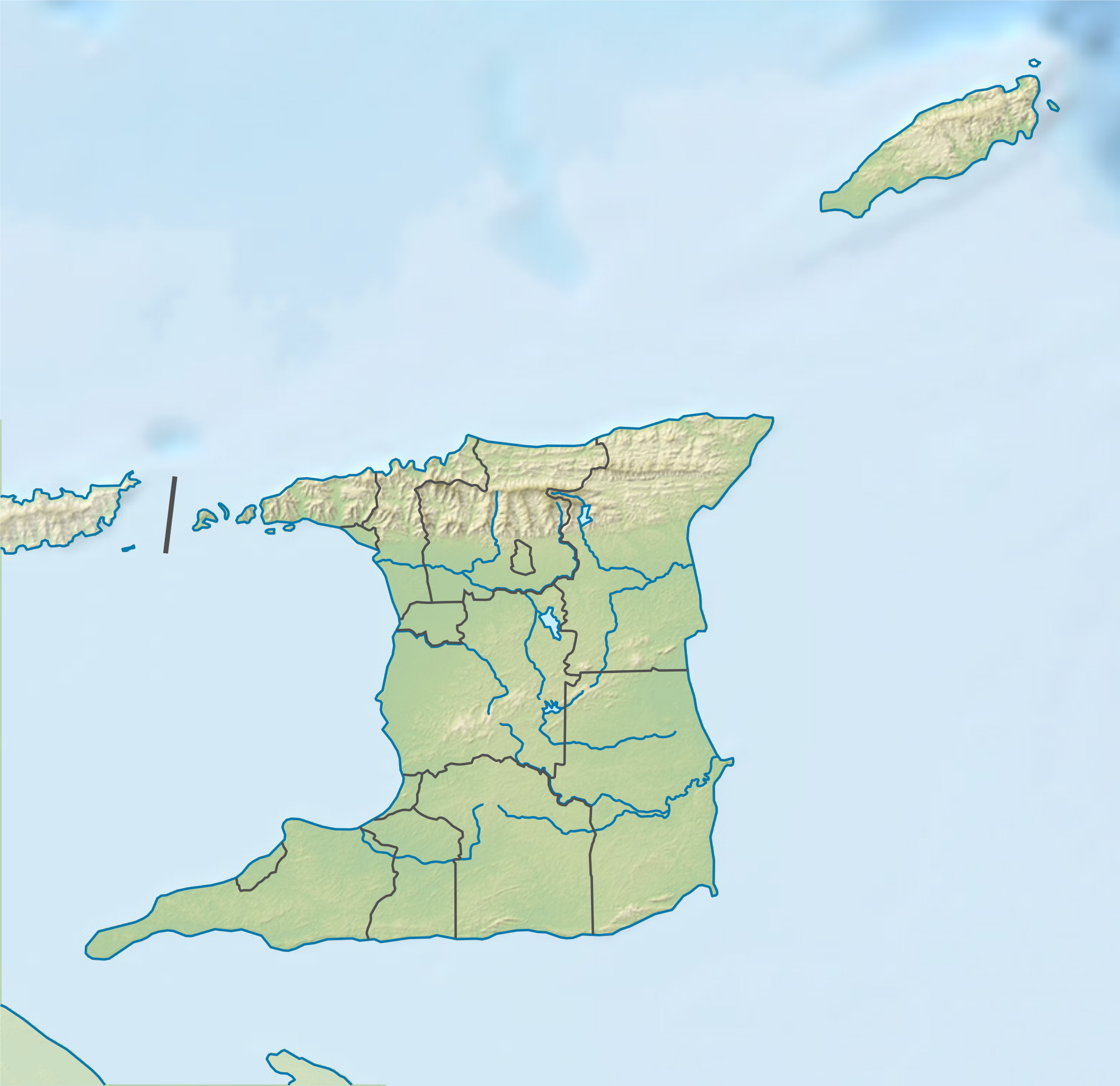
Deutsch: Positionskarte von Trinidad und Tobago
English: Location map of Trinidad and Tobago
|
||||||||||||
| Date | |||||||||||||
| Source |
Own work using:
|
||||||||||||
| Author | NordNordWest | ||||||||||||
| Other versions |
|
||||||||||||


|
This map has been made or improved in the German Kartenwerkstatt (Map Lab). You can propose maps to improve as well.
|
Licensing[edit]
Usage of this file with:

explanatory notes: Legally binding is only the full legalcode. For a free usage I recommend to respect the following licence conditions:
1. Provide my name as given above: NordNordWest,
2. a copy of, or the URI for, the applicable license: https://creativecommons.org/licenses/by-sa/3.0/de/legalcode,
3. the title of the work,
4. in the case of an adaptation, a credit identifying the use of the work in the adaptation.
This license and the rights granted hereunder will terminate automatically upon any breach by you of the terms of this license. Any of the above conditions can be waived if you get permission from the copyright holder. If you have questions or wish differing conditions, please contact me through nnwest or my discussion page ![]() t-online.de
t-online.de
- You are free:
- to share – to copy, distribute and transmit the work
- to remix – to adapt the work
- Under the following conditions:
- attribution – You must give appropriate credit, provide a link to the license, and indicate if changes were made. You may do so in any reasonable manner, but not in any way that suggests the licensor endorses you or your use.
- share alike – If you remix, transform, or build upon the material, you must distribute your contributions under the same or compatible license as the original.

File history
Click on a date/time to view the file as it appeared at that time.
| Date/Time | Thumbnail | Dimensions | User | Comment | |
|---|---|---|---|---|---|
| current | 18:45, 10 July 2016 | | 780 × 756 (143 KB) | NordNordWest (talk | contribs) | c |
| 18:42, 10 July 2016 |  | 780 × 756 (141 KB) | NordNordWest (talk | contribs) | == {{int:filedesc}} == {{Information |Description= {{de|1=Positionskarte von Trinidad und Tobago}} {{en|1=Location map of Trinidad and Tobago}} {{Location map series N |stretching=– |top=11.45 |bottom=9.85 |left=-62.05 |right=-60.4 }} |Source={{Own u... |
You cannot overwrite this file.
File usage
The following 3 pages use this file:
Global file usage
The following other wikis use this file:
- Usage on als.wikipedia.org
- Usage on ast.wikipedia.org
- Usage on az.wikipedia.org
- Usage on bg.wikipedia.org
- Usage on bn.wikipedia.org
- Usage on da.wikipedia.org
- Usage on de.wikipedia.org
- Trinidad und Tobago
- Tobago
- Scarborough (Trinidad und Tobago)
- Vorlage:Positionskarte Trinidad und Tobago
- Wikipedia:Kartenwerkstatt/Positionskarten/Nordamerika
- Tamana (Berg)
- Cerro del Aripo
- Chacachacare
- Fort San Andres
- Monos (Insel)
- La Brea (Trinidad und Tobago)
- Fort George (Trinidad)
- Bocas Islands
- Gaspar Grande
- St. Joseph (Trinidad und Tobago)
- Little Gasparee
- Benutzer:TaxonBot/Spielwiese
- El Tucuche
- Cronstadt Island
- Carrera Island
- Rio Claro (Trinidad und Tobago)
- Benutzer:Grueslayer/Workroom
- Santa Cruz (Trinidad und Tobago)
- Moruga
- Usage on en.wikipedia.org
- Columbus Channel
- El Cerro del Aripo
- Caroni River (Trinidad and Tobago)
- Bocas del Dragón
- Delaware Bank
- El Tucuche
- Hollis Reservoir
- Caroni–Arena Dam
- Hillsborough Reservoir
- Module:Location map/data/Trinidad and Tobago/doc
- Older Parian Group
- Bacolet Formation
- Tobago Volcanic Group
- Manzanilla Formation
- Matura Formation
- Morne l'Enfer Formation
View more global usage of this file.