File:Trnková street, west part, Praha.jpg
From Wikimedia Commons, the free media repository
Jump to navigation
Jump to search
![File:Trnková street, west part, Praha.jpg](https://upload.wikimedia.org/wikipedia/commons/thumb/e/e2/Trnkov%C3%A1_street%2C_west_part%2C_Praha.jpg/800px-Trnkov%C3%A1_street%2C_west_part%2C_Praha.jpg?20190210144527)
Size of this preview: 800 × 524 pixels. Other resolutions: 320 × 209 pixels | 640 × 419 pixels | 1,024 × 670 pixels | 1,280 × 838 pixels | 2,560 × 1,676 pixels | 3,477 × 2,276 pixels.
Original file (3,477 × 2,276 pixels, file size: 1.55 MB, MIME type: image/jpeg)
File information
Structured data
Captions
Captions
Add a one-line explanation of what this file represents
Summary
[edit]DescriptionTrnková street, west part, Praha.jpg |
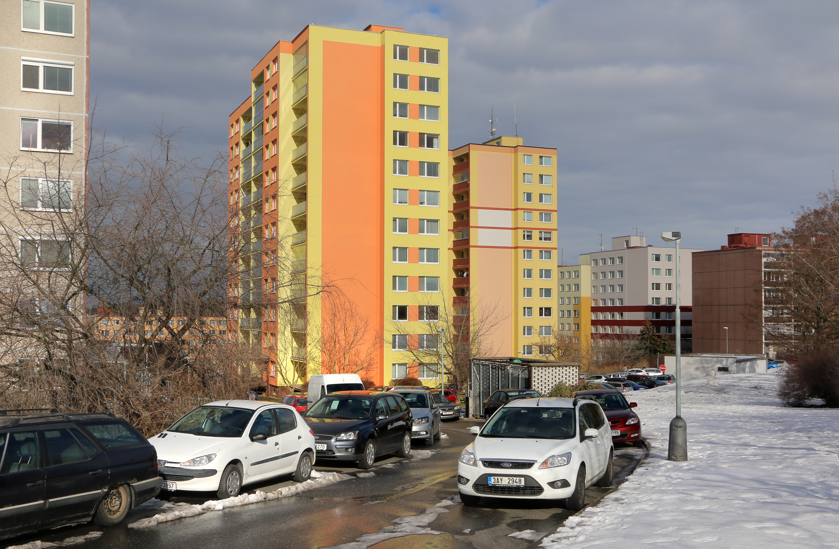
Čeština: Východní část Trnkové ulice v Krči v Praze 4
English: East part of Trnková street, Prague. |
||||
Date | |||||
Source |
Own work
|
||||
Author | Pavel Hrdlička (Czech Wikipedia user Packa) | ||||
Permission (Reusing this file) |
Čeština: Tento soubor je uvolněný pod licencí Creative Commons BY-SA. Stručně: Můžete jej použít k jakémukoli účelu, pokud uvedete autora: Pavel Hrdlička, Wikipedie. Výsledné dílo musíte uvolnit také pod touto licencí.
English: This file is available under Creative Commons BY-SA license. Basically: You can use this picture for any purpose, provided that you attribute it to Pavel Hrdlička, Wikipedia. You may distribute the resulting work under the same license.
![]() ![]() ![]() This file is licensed under the Creative Commons Attribution-Share Alike 4.0 International license. Attribution: Pavel Hrdlička, Wikipedia
|
Camera location | 50° 01′ 02.35″ N, 14° 27′ 44.6″ E ![]() ![]() | View this and other nearby images on: OpenStreetMap | ![]() |
---|
File history
Click on a date/time to view the file as it appeared at that time.
Date/Time | Thumbnail | Dimensions | User | Comment | |
---|---|---|---|---|---|
current | 14:45, 10 February 2019 | ![]() | 3,477 × 2,276 (1.55 MB) | Packa (talk | contribs) | VicuñaUploader 1.23 |
You cannot overwrite this file.
File usage on Commons
The following 2 pages use this file:
File usage on other wikis
The following other wikis use this file:
- Usage on cs.wikipedia.org
- Usage on www.wikidata.org
Metadata
This file contains additional information such as Exif metadata which may have been added by the digital camera, scanner, or software program used to create or digitize it. If the file has been modified from its original state, some details such as the timestamp may not fully reflect those of the original file. The timestamp is only as accurate as the clock in the camera, and it may be completely wrong.
Camera manufacturer | Canon |
---|---|
Camera model | Canon EOS 70D |
Exposure time | 1/320 sec (0.003125) |
F-number | f/11 |
ISO speed rating | 100 |
Date and time of data generation | 14:09, 9 February 2019 |
Lens focal length | 24 mm |
Latitude | 50° 1′ 2.35″ N |
Longitude | 14° 27′ 44.6″ E |
Altitude | 306 meters above sea level |
Orientation | Normal |
Horizontal resolution | 72 dpi |
Vertical resolution | 72 dpi |
Software used | Adobe Photoshop CS2 Windows |
File change date and time | 22:42, 9 February 2019 |
Y and C positioning | Co-sited |
Exposure Program | Normal program |
Exif version | 2.3 |
Date and time of digitizing | 14:09, 9 February 2019 |
Meaning of each component |
|
APEX shutter speed | 8.375 |
APEX aperture | 7 |
APEX exposure bias | 0 |
Metering mode | Pattern |
Flash | Flash did not fire |
DateTime subseconds | 30 |
DateTimeOriginal subseconds | 30 |
DateTimeDigitized subseconds | 30 |
Supported Flashpix version | 1 |
Color space | sRGB |
Focal plane X resolution | 4,057.8420467186 |
Focal plane Y resolution | 4,060.1001669449 |
Focal plane resolution unit | inches |
Custom image processing | Normal process |
Exposure mode | Auto exposure |
White balance | Auto white balance |
Scene capture type | Standard |
GPS time (atomic clock) | 12:09:11.003 |
Satellites used for measurement | 12 |
Receiver status | Measurement in progress |
Measurement mode | 3-dimensional measurement |
Measurement precision | Poor (5.4) |
Reference for direction of image | Magnetic direction |
Direction of image | 37 |
Geodetic survey data used | WGS-84 |
GPS date | 9 February 2019 |
GPS tag version | 0.0.3.2 |
Supported Flashpix version | 1 |
Image width | 3,477 px |
Image height | 2,276 px |
Rating (out of 5) | 0 |
Date metadata was last modified | 23:42, 9 February 2019 |
IIM version | 2 |