File:USA Utah location map.svg
跳至導覽
跳至搜尋

此 SVG 檔案的 PNG 預覽的大小:505 × 600 像素。 其他解析度:202 × 240 像素 | 404 × 480 像素 | 647 × 768 像素 | 862 × 1,024 像素 | 1,724 × 2,048 像素 | 868 × 1,031 像素。
原始檔案 (SVG 檔案,表面大小:868 × 1,031 像素,檔案大小:175 KB)
說明
說明
添加單行說明來描述出檔案所代表的內容
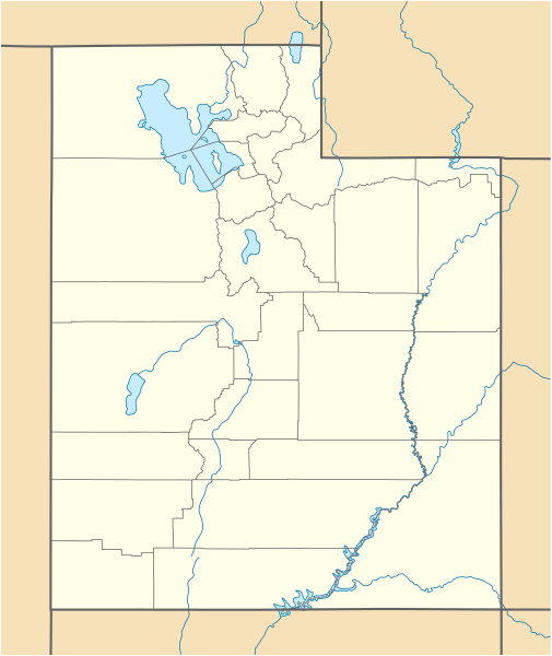
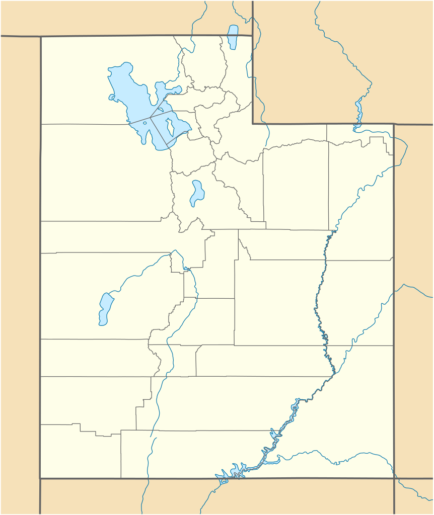
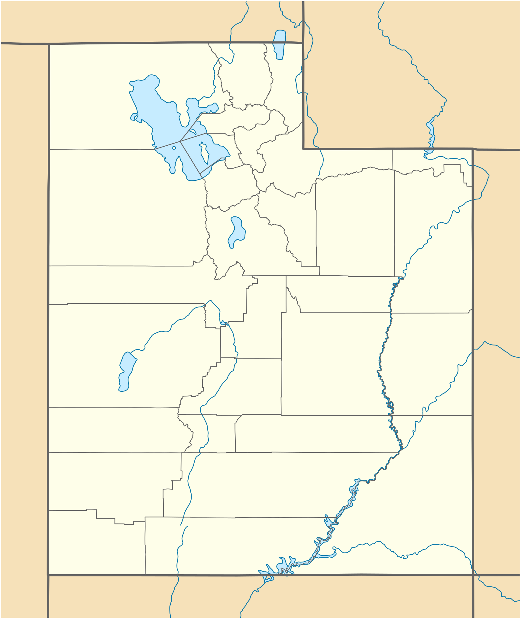
Location map of Utah, USA
摘要[編輯]
| 描述 |
Quadratische Plattkarte, N-S-Streckung 125 %. Geographische Begrenzung der Karte:
Equirectangular projection, N/S stretching 125 %. Geographic limits of the map:
|
| 日期 | 09-06-2009 |
| 來源 |
own work, using
|
| 作者 | NordNordWest |
| 其他版本 |
Derivative works of this file: |

|
|
授權條款[編輯]
我,本作品的著作權持有者,決定用以下授權條款發佈本作品:

|
已授權您依據自由軟體基金會發行的無固定段落、封面文字和封底文字GNU自由文件授權條款1.2版或任意後續版本,對本檔進行複製、傳播和/或修改。該協議的副本列在GNU自由文件授權條款中。 |
此檔案採用創用CC 姓名標示 3.0 未在地化版本授權條款。
- 您可以自由:
- 分享 – 複製、發佈和傳播本作品
- 重新修改 – 創作演繹作品
- 惟需遵照下列條件:
- 姓名標示 – 您必須指名出正確的製作者,和提供授權條款的連結,以及表示是否有對內容上做出變更。您可以用任何合理的方式來行動,但不得以任何方式表明授權條款是對您許可或是由您所使用。
您可以選擇您需要的授權條款。
檔案歷史
點選日期/時間以檢視該時間的檔案版本。
| 日期/時間 | 縮圖 | 尺寸 | 使用者 | 備註 | |
|---|---|---|---|---|---|
| 目前 | 2015年6月15日 (一) 15:34 | | 868 × 1,031(175 KB) | NordNordWest(留言 | 貢獻) | Reverted to version as of 12:08, 12 December 2010; please upload it as a new file |
| 2015年6月15日 (一) 14:48 |  | 868 × 1,031(289 KB) | Prinsgezinde(留言 | 貢獻) | Reverted to version as of 14:44, 15 June 2015 | |
| 2015年6月15日 (一) 14:47 |  | 868 × 1,031(289 KB) | Prinsgezinde(留言 | 貢獻) | As per revert | |
| 2015年6月15日 (一) 14:44 |  | 868 × 1,031(289 KB) | Prinsgezinde(留言 | 貢獻) | Reverted to version as of 06:39, 12 December 2010 - Unhelpful revert, change was requested and is appreciated | |
| 2010年12月12日 (日) 12:08 |  | 868 × 1,031(175 KB) | NordNordWest(留言 | 貢獻) | no discussion, no change | |
| 2010年12月12日 (日) 06:39 |  | 868 × 1,031(289 KB) | Moabdave(留言 | 貢獻) | Added inset to show location of Utah. Inset derived from File:Map_of_USA_UT.svg. Change made per request at FAC for en:Thistle Utah. | |
| 2009年6月9日 (二) 18:09 |  | 868 × 1,031(175 KB) | NordNordWest(留言 | 貢獻) | {{Information |Description= {{de|Positionskarte von Utah, USA}} Quadratische Plattkarte, N-S-Streckung 125 %. Geographische Begrenzung der Karte: * N: 42.4° N * S: 36.6° N * W: 114.6° W * O: 108.5° W {{en|Location map of [[:en |
無法覆蓋此檔案。
檔案用途
超過 100 個頁面有用到此檔案。 下列清單只列出前 100 筆有用到此檔案的頁面。 您也可以檢視完整清單。
- Utah
- User:NordNordWest/Gallery/Location maps
- Category:1898 in Utah
- Category:1910 in Utah
- Category:1911 in Utah
- Category:1912 in Utah
- Category:1914 in Utah
- Category:1921 in Utah
- Category:1922 in Utah
- Category:1923 in Utah
- Category:1924 in Utah
- Category:1925 in Utah
- Category:1929 in Utah
- Category:1930 in Utah
- Category:1932 in Utah
- Category:1933 in Utah
- Category:1934 in Utah
- Category:1935 in Utah
- Category:1936 in Utah
- Category:1937 in Utah
- Category:1938 in Utah
- Category:1939 in Utah
- Category:1947 in Utah
- Category:1972 in Utah
- Category:1973 in Utah
- Category:1979 in Utah
- Category:1983 in Utah
- Category:1991 in Utah
- Category:1993 in Utah
- Category:1997 in Utah
- Category:1998 in Utah
- Category:1999 in Utah
- Category:2002 in Utah
- Category:2006 in Utah
- Category:2008 in Utah
- Category:2010 in Utah
- Category:Airports in Utah
- Category:Archaeological sites in Utah
- Category:Bodies of water in Utah
- Category:Bridges in Utah
- Category:Canals in Utah
- Category:Canyons in Utah
- Category:Caves of Utah
- Category:Cemeteries in Utah
- Category:Cities in Utah
- Category:Climate of Utah
- Category:Coal-fired power plants in Utah
- Category:Culture of Utah
- Category:Dams in Utah
- Category:Education in Utah
- Category:Energy in Utah
- Category:Flora of Utah
- Category:Geology of Utah
- Category:Hiking trails in Utah
- Category:Hospitals in Utah
- Category:Islands of Utah
- Category:Lakes of Utah
- Category:Libraries in Utah
- Category:Local government in Utah
- Category:Maps of Utah
- Category:Mountain passes of Utah
- Category:Parks in Utah
- Category:Power plants in Utah
- Category:Protected areas of Utah
- Category:Rail transport in Utah
- Category:Railway bridges in Utah
- Category:Religion in Utah
- Category:Reservoirs in Utah
- Category:Rivers of Utah
- Category:Roads in Utah
- Category:Schools in Utah
- Category:Streets in Utah
- Category:Tabernacles of The Church of Jesus Christ of Latter-day Saints in Utah
- Category:Towers in Utah
- Category:Towns in Utah
- Category:Transport in Utah
- Category:U.S. Highways in Utah
- Category:Utah
- Category:Utah by decade
- Category:Utah in the 1840s
- Category:Utah in the 1890s
- Category:Utah in the 1900s
- Category:Utah in the 1910s
- Category:Utah in the 1920s
- Category:Utah in the 1930s
- Category:Utah in the 1940s
- Category:Utah in the 1950s
- Category:Utah in the 1960s
- Category:Utah in the 1970s
- Category:Utah in the 1980s
- Category:Utah in the 1990s
- Category:Utah in the 19th century
- Category:Utah in the 2000s
- Category:Utah in the 2010s
- Category:Utah in the 20th century
- Category:Utah in the 21st century
- Category:Valleys of Utah
- Category:Visitor attractions in Utah
- Category:Volcanoes in Utah
- Category:Waterfalls in Utah
檢視連結到這個檔案的更多連結。
全域檔案使用狀況
以下其他 wiki 使用了這個檔案:
- an.wikipedia.org 的使用狀況
- ar.wikipedia.org 的使用狀況
- ast.wikipedia.org 的使用狀況
- azb.wikipedia.org 的使用狀況
- کانیون ریم
- ولف کریک، یوتا
- اقنوق، یوتا
- بالفراق، یوتا
- بریل، یوتا
- داک کریک ویلج، یوتا
- لاپوینت، یوتا
- ماونت کارمل جانکشن، یوتا
- اسکدیل، یوتا
- باربانک، یوتا
- مودنا، یوتا
- لاند، یوتا
- قروور، یوتا
- بلومینقتون، یوتا
- کرویدون، یوتا
- وست وبر، یوتا
- قرینویل، یوتا
- کالاو، یوتا
- آدامزویل، یوتا
- مونتاین هوم، یوتا
- آجاکس، یوتا
- واهساچ، یوتا
- تالمئیج، یوتا
- آلتامونت، یوتا
- وارن، یوتا
- واشاکی، یوتا
- آلتوناه، یوتا
- ترئیس، یوتا
- آلونیت، یوتا
- آمریکان فورک، یوتا
- تیکابو، یوتا
- آپل والئی، یوتا
- ورای، یوتا
- آورورا، یوتا
- آکستل، یوتا
- امیقراشن کانیون، یوتا
- پارک والئی، یوتا
- پارتون، یوتا
- تریدل، یوتا
- تروت کریک، یوتا
- وزت والئی سیتی، یوتا
- پنروز، یوتا
- توکر، یوتا
- پترزون، یوتا
檢視此檔案的更多全域使用狀況。