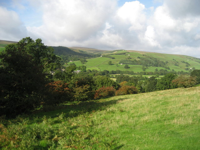
File:Upper Nidderdale near Bouthwaite.jpg
From Wikimedia Commons, the free media repository
Jump to navigation
Jump to search
Upper_Nidderdale_near_Bouthwaite.jpg (640 × 480 pixels, file size: 93 KB, MIME type: image/jpeg)
File information
Structured data
Captions
Captions
Add a one-line explanation of what this file represents
DescriptionUpper Nidderdale near Bouthwaite.jpg | |||
Date | |||
Source | Geograph https://www.geograph.org.uk/photo/249624 | ||
Author | Chris Heaton | ||
Permission (Reusing this file) |
![]() ![]() ![]() This file is licensed under the Creative Commons Attribution-Share Alike 2.0 Generic license. Attribution: Chris Heaton
|
Camera location | 54° 08′ 11.37″ N, 1° 48′ 31.14″ W ![]() ![]() | View this and other nearby images on: OpenStreetMap | ![]() |
---|
Object location | 54° 08′ 13″ N, 1° 48′ 40″ W ![]() ![]() | View this and other nearby images on: OpenStreetMap | ![]() |
---|
File history
Click on a date/time to view the file as it appeared at that time.
Date/Time | Thumbnail | Dimensions | User | Comment | |
---|---|---|---|---|---|
current | 11:13, 18 November 2007 | ![]() | 640 × 480 (93 KB) | Angusmclellan (talk | contribs) | {{Information |Description=Upper Nidderdale near Bouthwaite |Source=Geograph http://www.geograph.org.uk/photo/249624 |Date=Wednesday, 27 September, 2006 |Author=Chris Heaton |Permission=see below |other_versions= }} |
You cannot overwrite this file.
File usage on Commons
The following page uses this file:
File usage on other wikis
The following other wikis use this file:
- Usage on en.wikipedia.org
- Usage on pl.wikipedia.org
- Usage on www.wikidata.org
Metadata
This file contains additional information such as Exif metadata which may have been added by the digital camera, scanner, or software program used to create or digitize it. If the file has been modified from its original state, some details such as the timestamp may not fully reflect those of the original file. The timestamp is only as accurate as the clock in the camera, and it may be completely wrong.
Camera manufacturer | Canon |
---|---|
Camera model | Canon DIGITAL IXUS 60 |
Exposure time | 1/800 sec (0.00125) |
F-number | f/2.8 |
Date and time of data generation | 09:40, 19 September 2006 |
Lens focal length | 5.8 mm |
Orientation | Normal |
Horizontal resolution | 180 dpi |
Vertical resolution | 180 dpi |
File change date and time | 09:40, 19 September 2006 |
Y and C positioning | Centered |
Exif version | 2.2 |
Date and time of digitizing | 09:40, 19 September 2006 |
Meaning of each component |
|
APEX shutter speed | 9.65625 |
APEX aperture | 2.96875 |
APEX exposure bias | 0 |
Flash | Flash did not fire, auto mode |
Supported Flashpix version | 1 |
Color space | sRGB |
Focal plane X resolution | 12,515.555555556 |
Focal plane Y resolution | 12,497.041420118 |
Focal plane resolution unit | inches |
File source | Digital still camera |
Custom image processing | Custom process |
Exposure mode | Auto exposure |
White balance | Auto white balance |
Digital zoom ratio | 1 |
Scene capture type | Standard |
Structured data
Items portrayed in this file
depicts
27 September 2006
54°8'11.368"N, 1°48'31.136"W
54°8'12.8"N, 1°48'39.6"W
Hidden categories:
- CC-BY-SA-2.0
- Images from Geograph Britain and Ireland
- Images from Geograph Britain and Ireland missing SDC creator
- Images from Geograph Britain and Ireland missing SDC source of file
- Images from Geograph Britain and Ireland missing SDC MIME type
- Files with coordinates missing SDC location of creation (54° N, 2° W)
- Pages with maps