File:WF base map.svg
Jump to navigation
Jump to search

Size of this PNG preview of this SVG file: 758 × 599 pixels. Other resolutions: 304 × 240 pixels | 607 × 480 pixels | 971 × 768 pixels | 1,280 × 1,012 pixels | 2,560 × 2,024 pixels | 1,290 × 1,020 pixels.
Original file (SVG file, nominally 1,290 × 1,020 pixels, file size: 834 KB)
Captions
Captions
Add a one-line explanation of what this file represents
Summary
[edit]
| Description | |
| Date | |
| Source |
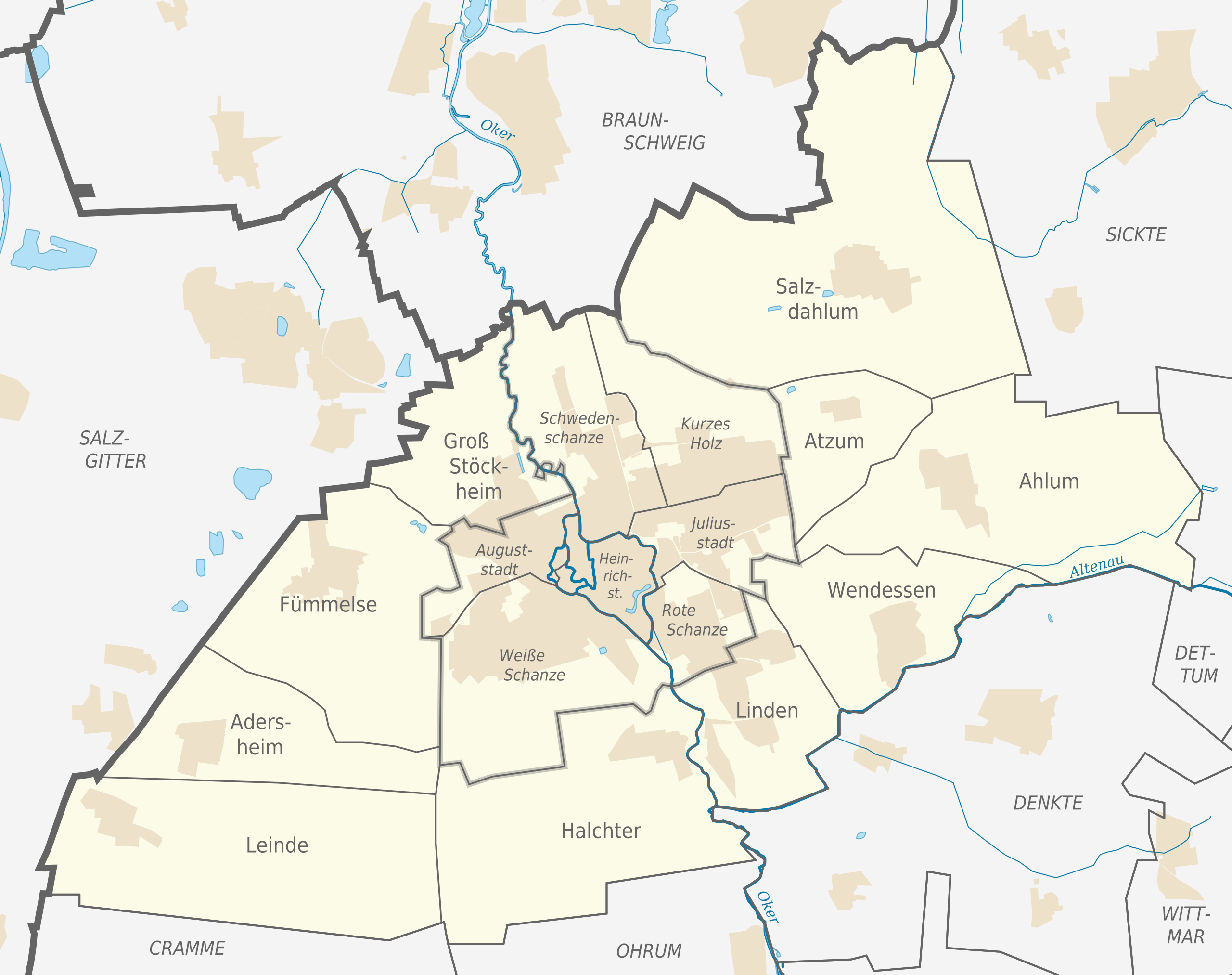
Own work This W3C-unspecified vector image was created with Adobe Illustrator. This SVG file was uploaded with Commonist. •File:Wolfenbüttel in WF.svg by TUBS •OpenStreetMap Data (© OpenStreetMap und Mitwirkende, CC-BY-SA) •A map showing the inner districts of Wolfenbüttel provided by the [www.wolfenbuettel.de/ town of Wolfenbüttel] and submitted to Ratzer via email. •A map of the towns in the Braunschweig administrative region as of 1960 provided by Landesbetrieb für Statistik und Kommunikationstechnologie Niedersachsen and submitted to Ratzer via email. |
| Author |
TUBS |
Licensing
[edit]
This file is licensed under the Creative Commons Attribution-Share Alike 2.0 Generic license.
- You are free:
- to share – to copy, distribute and transmit the work
- to remix – to adapt the work
- Under the following conditions:
- attribution – You must give appropriate credit, provide a link to the license, and indicate if changes were made. You may do so in any reasonable manner, but not in any way that suggests the licensor endorses you or your use.
- share alike – If you remix, transform, or build upon the material, you must distribute your contributions under the same or compatible license as the original.

|
I'd greatly appreciate, that you attribute this media file to Wikimedia Commons, if used outside Wikipedia or Commons. For use in publications such as books, newspapers, blogs, websites, please insert here the following line:
|
File history
Click on a date/time to view the file as it appeared at that time.
| Date/Time | Thumbnail | Dimensions | User | Comment | |
|---|---|---|---|---|---|
| current | 13:32, 10 September 2010 | | 1,290 × 1,020 (834 KB) | TUBS (talk | contribs) | +more borders |
| 12:51, 24 August 2010 |  | 1,290 × 1,020 (843 KB) | TUBS (talk | contribs) | corr colors | |
| 11:11, 20 August 2010 |  | 1,290 × 1,020 (573 KB) | TUBS (talk | contribs) | ++ | |
| 00:12, 18 August 2010 |  | 1,290 × 1,020 (542 KB) | TUBS (talk | contribs) | {{Information |Description={{de|Positionskarte Wolfenbüttel, Niedersachsen.}} {{en|Position map of Wolfenbüttel, Lower Saxony, Germany.}} |Source={{ow |
You cannot overwrite this file.
File usage on Commons
There are no pages that use this file.
File usage on other wikis
The following other wikis use this file:
- Usage on de.wikipedia.org