File:West Midlands UK relief location map.jpg
Jump to navigation
Jump to search

Size of this preview: 800 × 547 pixels. Other resolutions: 320 × 219 pixels | 640 × 437 pixels | 1,024 × 700 pixels | 1,280 × 875 pixels | 1,999 × 1,366 pixels.
Original file (1,999 × 1,366 pixels, file size: 286 KB, MIME type: image/jpeg)
Captions
Captions
Add a one-line explanation of what this file represents
| Description |
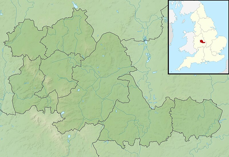
Relief map of the West Midlands, UK. Equirectangular map projection on WGS 84 datum, with N/S stretched 160% Geographic limits:
|
| Date | |
| Source |
|
| Author | Nilfanion, created using Ordnance Survey data |
| Permission (Reusing this file) |
This file is licensed under the Creative Commons Attribution-Share Alike 3.0 Unported license. Attribution: Contains Ordnance Survey data © Crown copyright and database right
|
| Other versions | File:West Midlands UK district map (blank).svg - Blank map |
.svg)
File history
Click on a date/time to view the file as it appeared at that time.
| Date/Time | Thumbnail | Dimensions | User | Comment | |
|---|---|---|---|---|---|
| current | 02:00, 29 November 2011 | | 1,999 × 1,366 (286 KB) | Nilfanion (talk | contribs) | {{Information |Description=Relief map of the West Midlands, UK. Equirectangular map projection on WGS 84 datum, with N/S stretched 160% Geographic limits: *West: 2.22W *East: 1.40W *North: 52.68N *South: 52.33N |Source=[[w:O |
You cannot overwrite this file.
File usage on Commons
There are no pages that use this file.
File usage on other wikis
The following other wikis use this file:
- Usage on ar.wikipedia.org
- Usage on bg.wikipedia.org
- Usage on ceb.wikipedia.org
- Usage on en.wikipedia.org
- Bartley Reservoir
- Witton Lakes
- Brookvale Park Lake
- Netherton Reservoir
- Edgbaston Reservoir
- Olton Reservoir
- Perry Barr Reservoir
- Lifford Reservoir
- Wychall Reservoir
- Frankley Reservoir
- Shard End Lake
- Babbs Mill Lake
- Turners Hill, West Midlands
- Module:Location map/data/United Kingdom West Midlands/doc
- Piccadilly Medal
- W.D. & H.O. Wills Tournament
- Edgbaston Pool
- 21 Yateley Road, Edgbaston
- Battle of Camp Hill
- Severn Street Synagogue
- Battle of Kings Norton
- Aston Reservoir
- Barr Beacon Reservoir
- True Temper Foursomes Tournament
- Battle of Stourbridge Heath
- Module:Location map/data/United Kingdom West Midlands
- Module:Location map/data/West Midlands
- The Homestead, Edgbaston
- Usage on es.wikipedia.org
- Usage on fr.wikipedia.org
- Usage on hi.wikipedia.org
- Usage on id.wikipedia.org
- Usage on ja.wikipedia.org
- Usage on kn.wikipedia.org
- Usage on mk.wikipedia.org
- Usage on nl.wikipedia.org
- Usage on os.wikipedia.org
View more global usage of this file.