File:Westminster London UK blank ward map 2002 to 2022.svg
Jump to navigation
Jump to search

Size of this PNG preview of this SVG file: 643 × 600 pixels. Other resolutions: 257 × 240 pixels | 515 × 480 pixels | 823 × 768 pixels | 1,098 × 1,024 pixels | 2,195 × 2,048 pixels | 1,357 × 1,266 pixels.
Original file (SVG file, nominally 1,357 × 1,266 pixels, file size: 258 KB)
Captions
Captions
Add a one-line explanation of what this file represents
| Description |
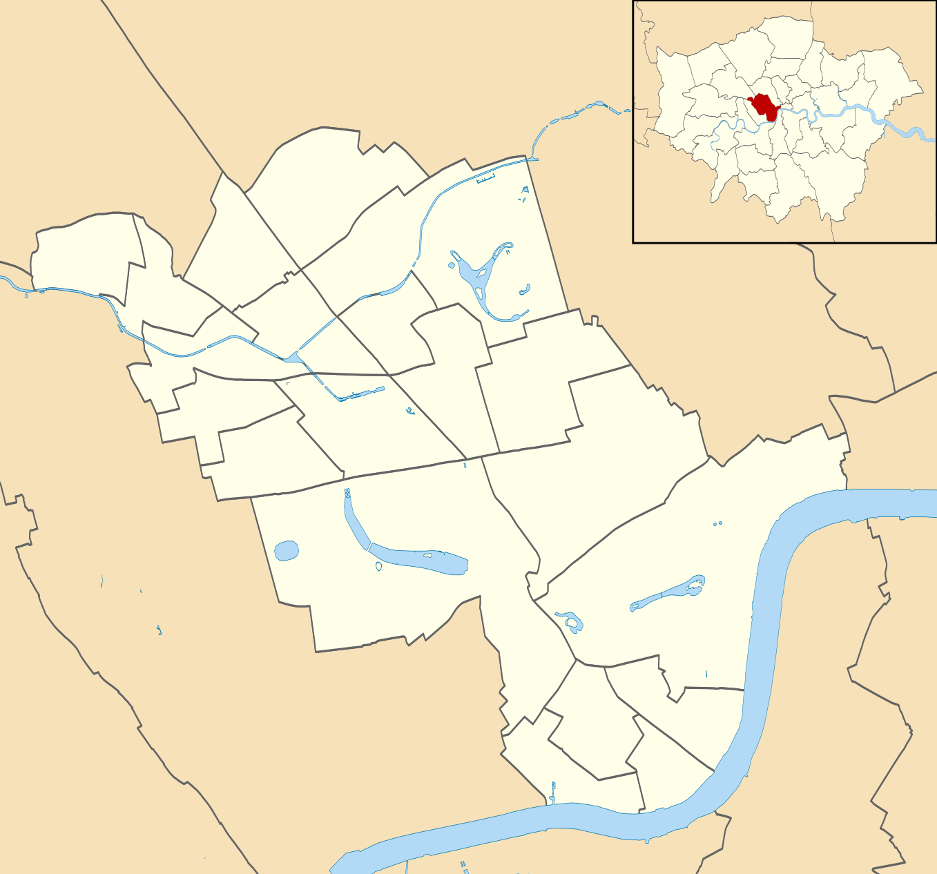
Blank map of the City of Westminster, showing the electoral wards used from 2002 to 2022. Equirectangular map projection on WGS 84 datum, with N/S stretched 160% Geographic limits:
|
| Date | |
| Source |
|
| Author | Nilfanion |
| Permission (Reusing this file) |
This file is licensed under the Creative Commons Attribution-Share Alike 3.0 Unported license. Attribution: Contains Ordnance Survey data © Crown copyright and database right
|
File history
Click on a date/time to view the file as it appeared at that time.
| Date/Time | Thumbnail | Dimensions | User | Comment | |
|---|---|---|---|---|---|
| current | 22:23, 28 July 2011 | | 1,357 × 1,266 (258 KB) | Nilfanion (talk | contribs) | {{Information |Description=Blank map of the City of Westminster, showing electoral wards. Equirectangular map projection on WGS 84 datum, with N/S stretched 160% Geographic limits: *West: 0.22W *East: 0.1W *North: 51.55N *South |
You cannot overwrite this file.
File usage on Commons
The following 7 pages use this file:
File usage on other wikis
The following other wikis use this file:
- Usage on en.wikipedia.org
- Usage on es.wikipedia.org
- Usage on fr.wikipedia.org
- Usage on he.wikipedia.org
- לונדון
- ארמון בקינגהאם
- ביג בן
- סקוטלנד יארד
- אולפני אבי רוד
- קובנט גארדן
- כיכר טרפלגר
- גרין פארק
- הייד פארק
- פינת נואמים
- מארבל ארץ'
- כיכר פיקדילי
- רחוב דאונינג
- רחוב אוקספורד
- הסטרנד
- גשר וסטמינסטר
- מאדאם טוסו
- מוזיאון טייט בריטניה
- דרך צ'רינג קרוס
- המאל
- ארמון וסטמינסטר
- מנזר וסטמינסטר
- מגדל ויקטוריה
- אנדרטת אלברט
- אלברט הול
- חדרי המלחמה של צ'רצ'יל
- פארק סנט ג'יימס
- ונציה הקטנה
- שוק רחוב בריק
- טייברן (נהר)
- טייברן (פלג)
- מידל טמפל
- טמפל בר (לונדון)
- גני קנזינגטון
- גלריית סרפנטיין
- אגם הסרפנטיין
- סוהו (לונדון)
- עמוד נלסון
- קשת האדמירליות
- קשת ולינגטון
- אנדרטת הארטילריה
- אנדרטת הקרב על בריטניה
- רציף ויקטוריה
- בן הקטן
View more global usage of this file.