File:White Stones - geograph.org.uk - 1106693.jpg
Jump to navigation
Jump to search
Size of this preview: 400 × 600 pixels. Other resolutions: 160 × 240 pixels | 427 × 640 pixels.
Original file (427 × 640 pixels, file size: 104 KB, MIME type: image/jpeg)
Captions
Captions
Add a one-line explanation of what this file represents
Summary[edit]
| Description |
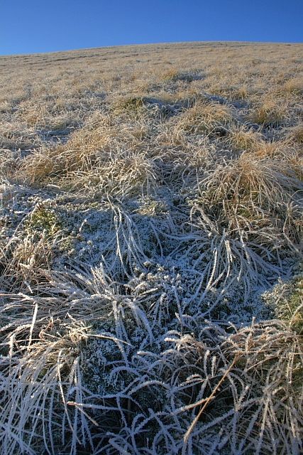
English: White Stones A 795m top on the eastern ridge of Stybarrow Dodd. Wainwright calls it Green Side. But I prefer to go by the name on the Ordnance Survey map. Green Side being the name for the steeper craggy southern slope overlooking Sticks Gill.
From the top of Glencoyne Head. |
| Date | |
| Source | From geograph.org.uk |
| Author | Mick Garratt |
| Attribution (required by the license) | Mick Garratt / White Stones / |
| Camera location | | View this and other nearby images on: OpenStreetMap |
|---|
| Object location | | View this and other nearby images on: OpenStreetMap |
|---|
Licensing[edit]

|
This image was taken from the Geograph project collection. See this photograph's page on the Geograph website for the photographer's contact details. The copyright on this image is owned by Mick Garratt and is licensed for reuse under the Creative Commons Attribution-ShareAlike 2.0 license.
|
This file is licensed under the Creative Commons Attribution-Share Alike 2.0 Generic license.
Attribution: Mick Garratt
- You are free:
- to share – to copy, distribute and transmit the work
- to remix – to adapt the work
- Under the following conditions:
- attribution – You must give appropriate credit, provide a link to the license, and indicate if changes were made. You may do so in any reasonable manner, but not in any way that suggests the licensor endorses you or your use.
- share alike – If you remix, transform, or build upon the material, you must distribute your contributions under the same or compatible license as the original.

_heading:247.00&language=en)
_heading:247.00&language=en)
File history
Click on a date/time to view the file as it appeared at that time.
| Date/Time | Thumbnail | Dimensions | User | Comment | |
|---|---|---|---|---|---|
| current | 19:31, 24 February 2011 | | 427 × 640 (104 KB) | GeographBot (talk | contribs) | == {{int:filedesc}} == {{Information |description={{en|1=White Stones A 795m top on the eastern ridge of Stybarrow Dodd. Wainwright calls it Green Side. But I prefer to go by the name on the Ordnance Survey map. Green Side being the name for the steeper c |
You cannot overwrite this file.
File usage
There are no pages that use this file.
Global file usage
The following other wikis use this file:
- Usage on ceb.wikipedia.org
- Usage on es.wikipedia.org
- Usage on kk.wikipedia.org
- Usage on sv.wikipedia.org
- Usage on www.wikidata.org