File:Worcestershire UK location map.svg
Vai alla navigazione
Vai alla ricerca

Dimensioni di questa anteprima PNG per questo file SVG: 677 × 600 pixel. Altre risoluzioni: 271 × 240 pixel | 542 × 480 pixel | 867 × 768 pixel | 1 156 × 1 024 pixel | 2 313 × 2 048 pixel | 1 425 × 1 262 pixel.
File originale (file in formato SVG, dimensioni nominali 1 425 × 1 262 pixel, dimensione del file: 1,8 MB)
Didascalie
Didascalie
Aggiungi una brevissima spiegazione di ciò che questo file rappresenta
| Descrizione |
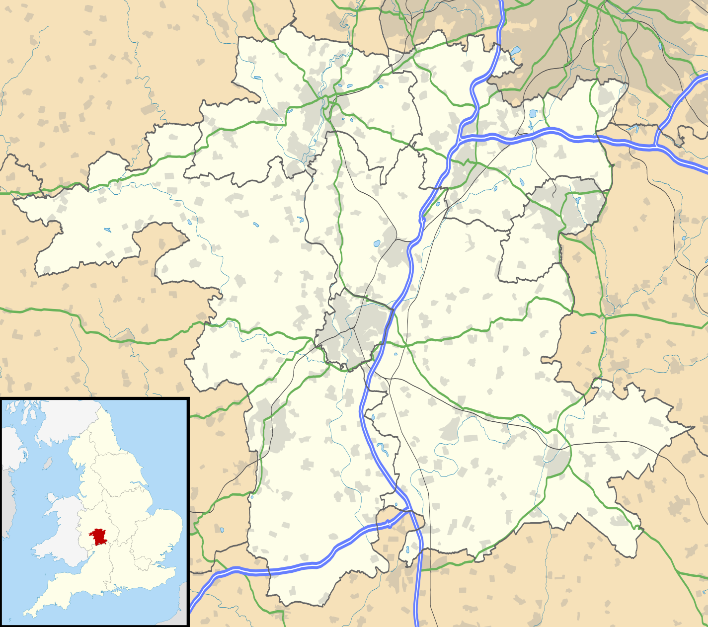
Map of Worcestershire, UK with the following information shown:
Equirectangular map projection on WGS 84 datum, with N/S stretched 160% Geographic limits:
|
| Data | |
| Fonte |
|
| Autore | Nilfanion, created using Ordnance Survey data |
| Licenza (Riusare questo file) |
Questo file è disponibile in base alla licenza Creative Commons Attribuzione-Condividi allo stesso modo 3.0 Unported Attribuzione: Contains Ordnance Survey data © Crown copyright and database right
|
| Altre versioni | File:Worcestershire UK district map (blank).svg - Blank map |
.svg)
Cronologia del file
Fare clic su un gruppo data/ora per vedere il file come si presentava nel momento indicato.
| Data/Ora | Miniatura | Dimensioni | Utente | Commento | |
|---|---|---|---|---|---|
| attuale | 19:20, 26 set 2010 | | 1 425 × 1 262 (1,8 MB) | Nilfanion (discussione | contributi) | {{Information |Description=Map of Worcestershire, UK with the following information shown: *Administrative borders *Coastline, lakes and rivers *Roads and railways *Urban areas Equirectangular map projection on WGS 84 datum, with N/S |
Impossibile sovrascrivere questo file.
Utilizzo del file
La seguente pagina usa questo file:
Utilizzo globale del file
Anche i seguenti wiki usano questo file:
- Usato nelle seguenti pagine di ar.wikipedia.org:
- Usato nelle seguenti pagine di bg.wikipedia.org:
- Usato nelle seguenti pagine di ceb.wikipedia.org:
- Usato nelle seguenti pagine di en.wikipedia.org:
- Kidderminster
- Battle of Worcester
- Worcester Cathedral
- Droitwich Spa
- Evesham
- Bromsgrove
- Bewdley
- Malvern, Worcestershire
- Pershore
- Upton-upon-Severn
- Stourport-on-Severn
- Stoke Heath, Worcestershire
- Tenbury Wells
- Barnt Green
- Great Malvern
- Bredon
- Wythall
- Hollywood, Worcestershire
- Lindridge
- Abberley
- Malvern Wells
- Hartlebury
- Bordesley, Worcestershire
- Wadborough
- Malvern Link
- Tardebigge
- Shelsley Walsh
- Barnards Green
- Pinvin
- Broadway, Worcestershire
- The Fleece Inn
- Droitwich Transmitting Station
- Eckington, Worcestershire
- Alvechurch
- Areley Kings
- Leigh, Worcestershire
- Romsley, Worcestershire
- Lickey
- Lickey End
- Cofton Hackett
- Upper Arley
- Kempsey, Worcestershire
- List of places in Worcestershire
- Hopwood, Worcestershire
- Ryall, Worcestershire
- Hopwood Park services
Visualizza l'utilizzo globale di questo file.