File:Yeading Lane - geograph.org.uk - 7439343.jpg
From Wikimedia Commons, the free media repository
Jump to navigation
Jump to search
![File:Yeading Lane - geograph.org.uk - 7439343.jpg](https://upload.wikimedia.org/wikipedia/commons/thumb/2/24/Yeading_Lane_-_geograph.org.uk_-_7439343.jpg/800px-Yeading_Lane_-_geograph.org.uk_-_7439343.jpg?20230327124442)
Size of this preview: 800 × 503 pixels. Other resolutions: 320 × 201 pixels | 640 × 402 pixels | 1,024 × 643 pixels | 1,280 × 804 pixels | 2,560 × 1,608 pixels | 5,204 × 3,269 pixels.
Original file (5,204 × 3,269 pixels, file size: 2.12 MB, MIME type: image/jpeg)
File information
Structured data
Captions
Captions
Add a one-line explanation of what this file represents
Summary
[edit]DescriptionYeading Lane - geograph.org.uk - 7439343.jpg |
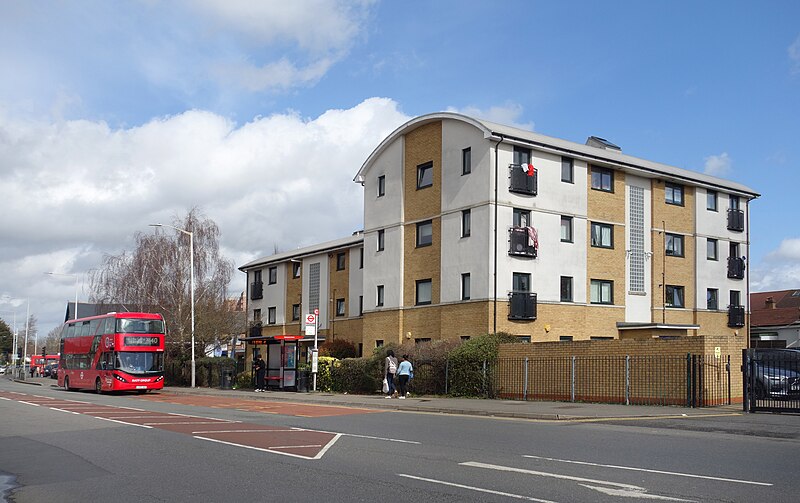
English: Yeading was a settlement back in Saxon times, but according to this Wikipedia entry Link it remained a bit of a backwater until 20th century development caught up with it. |
|||
Date | ||||
Source | https://www.geograph.org.uk/photo/7439343 | |||
Author | Des Blenkinsopp | |||
Other versions |
|
|||
Attribution (required by the license) InfoField | Des Blenkinsopp / Yeading Lane / | |||
InfoField | Des Blenkinsopp / Yeading Lane |
Camera location | 51° 31′ 35.17″ N, 0° 23′ 57.55″ W ![]() ![]() | View this and other nearby images on: OpenStreetMap | ![]() |
---|
Licensing
[edit]![]() |
This image was taken from the Geograph project collection. See this photograph's page on the Geograph website for the photographer's contact details. The copyright on this image is owned by Des Blenkinsopp and is licensed for reuse under the Creative Commons Attribution-ShareAlike 2.0 license.
|
![w:en:Creative Commons](https://upload.wikimedia.org/wikipedia/commons/thumb/7/79/CC_some_rights_reserved.svg/90px-CC_some_rights_reserved.svg.png)
![attribution](https://upload.wikimedia.org/wikipedia/commons/thumb/1/11/Cc-by_new_white.svg/24px-Cc-by_new_white.svg.png)
![share alike](https://upload.wikimedia.org/wikipedia/commons/thumb/d/df/Cc-sa_white.svg/24px-Cc-sa_white.svg.png)
This file is licensed under the Creative Commons Attribution-Share Alike 2.0 Generic license.
Attribution: Des Blenkinsopp
- You are free:
- to share – to copy, distribute and transmit the work
- to remix – to adapt the work
- Under the following conditions:
- attribution – You must give appropriate credit, provide a link to the license, and indicate if changes were made. You may do so in any reasonable manner, but not in any way that suggests the licensor endorses you or your use.
- share alike – If you remix, transform, or build upon the material, you must distribute your contributions under the same or compatible license as the original.
File history
Click on a date/time to view the file as it appeared at that time.
Date/Time | Thumbnail | Dimensions | User | Comment | |
---|---|---|---|---|---|
current | 12:44, 27 March 2023 | ![]() | 5,204 × 3,269 (2.12 MB) | Hullian111-Flickr2Commons (talk | contribs) | Uploaded a work by Des Blenkinsopp from https://www.geograph.org.uk/photo/7439343 with UploadWizard |
You cannot overwrite this file.
File usage on Commons
The following page uses this file:
Metadata
This file contains additional information such as Exif metadata which may have been added by the digital camera, scanner, or software program used to create or digitize it. If the file has been modified from its original state, some details such as the timestamp may not fully reflect those of the original file. The timestamp is only as accurate as the clock in the camera, and it may be completely wrong.
Camera manufacturer | SONY |
---|---|
Camera model | DSC-RX100 |
Exposure time | 1/800 sec (0.00125) |
F-number | f/5 |
ISO speed rating | 125 |
Date and time of data generation | 12:11, 22 March 2023 |
Lens focal length | 11.89 mm |
Image title | |
Width | 5,472 px |
Height | 3,648 px |
Bits per component |
|
Pixel composition | RGB |
Orientation | Normal |
Number of components | 3 |
Horizontal resolution | 350 dpi |
Vertical resolution | 350 dpi |
Software used | Adobe Photoshop Elements 13.0 (Macintosh) |
File change date and time | 16:12, 24 March 2023 |
Y and C positioning | Co-sited |
Exposure Program | Portrait mode (for closeup photos with the background out of focus) |
Exif version | 2.3 |
Date and time of digitizing | 12:11, 22 March 2023 |
Meaning of each component |
|
Image compression mode | 2 |
APEX shutter speed | 9.643856 |
APEX aperture | 4.643856 |
APEX brightness | 10.540625 |
APEX exposure bias | 0 |
Maximum land aperture | 2.2734375 APEX (f/2.2) |
Metering mode | Pattern |
Light source | Unknown |
Flash | Flash did not fire, compulsory flash suppression |
Supported Flashpix version | 1 |
Color space | sRGB |
File source | Digital still camera |
Scene type | A directly photographed image |
Custom image processing | Normal process |
Exposure mode | Auto exposure |
White balance | Auto white balance |
Digital zoom ratio | 1 |
Focal length in 35 mm film | 32 mm |
Scene capture type | Portrait |
Contrast | Normal |
Saturation | Normal |
Sharpness | Normal |
Lens used | 10.4-37.1 mm f/1.8-4.9 |
Date metadata was last modified | 16:12, 24 March 2023 |
Unique ID of original document | E3DE452A581D595F9157BACE98064578 |
IIM version | 1 |
Categories:
- Yeading
- Buildings in the London Borough of Hillingdon
- Roads in the London Borough of Hillingdon
- BCE class London buses on route X140
- BCE class London buses in RATP Dev Transit London TfL roundel electric cleaner air mark livery
- Buses in the London Borough of Hillingdon
- Buses in London photographed in 2023
- Buses in the United Kingdom photographed in March 2023
- 2023 in the London Borough of Hillingdon
- 22 registered buses in the United Kingdom
Hidden categories:
- Images with extracted images
- Information field template with formatting
- Files with coordinates missing SDC location of creation (51° N, 1° W)
- CC-BY-SA-2.0
- Images from Geograph Britain and Ireland
- Images from Geograph Britain and Ireland missing SDC creator
- Images from Geograph Britain and Ireland missing SDC source of file
- Images from Geograph Britain and Ireland missing SDC coordinates of depicted place
- Images from Geograph Britain and Ireland missing SDC MIME type
- Pages with maps