File:C72189s1 Ant.Map Cape Hallet.jpg
Vai alla navigazione
Vai alla ricerca
Dimensioni di questa anteprima: 712 × 599 pixel. Altre risoluzioni: 285 × 240 pixel | 570 × 480 pixel | 912 × 768 pixel | 1 216 × 1 024 pixel | 2 432 × 2 048 pixel | 3 860 × 3 250 pixel.
File originale (3 860 × 3 250 pixel, dimensione del file: 2,26 MB, tipo MIME: image/jpeg)
Didascalie
Didascalie
Aggiungi una brevissima spiegazione di ciò che questo file rappresenta
Dettagli
[modifica]
| Descrizione |
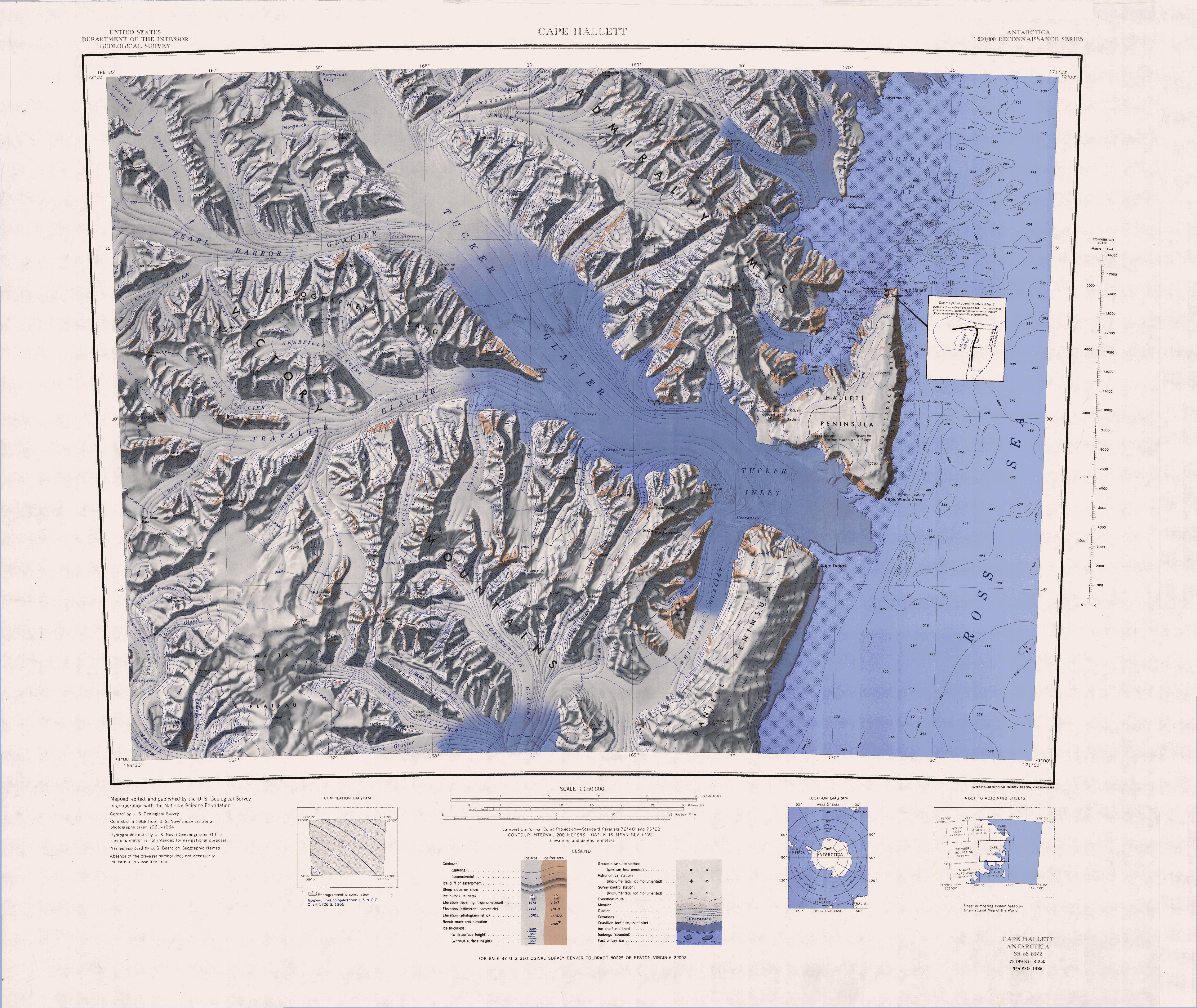
English: 1:250,000-scale topographic reconnaissance map of the Cape Hallet area from 159°-162°E to 71°-72°S in Antarctica, including the Tucker Glacier. Mapped, edited and published by the U.S. Geological Survey in cooperation with the National Science Foundation. |
|||
| Data | ||||
| Fonte | http://usarc.usgs.gov/drg_dload.shtml | |||
| Autore | United States Geological Survey | |||
| Licenza (Riusare questo file) |
|
|||
| Altre versioni | Opere derivate da questo file: Latino Peak.jpg |
Cronologia del file
Fare clic su un gruppo data/ora per vedere il file come si presentava nel momento indicato.
| Data/Ora | Miniatura | Dimensioni | Utente | Commento | |
|---|---|---|---|---|---|
| attuale | 17:40, 3 apr 2005 | | 3 860 × 3 250 (2,26 MB) | Achim Raschka (discussione | contributi) | Map of Antarctica by the United States Antarctic Ressource Center of the US Geological Society. {{PD-US}} Copyrights and Trademarks USGS-authored or produced data and information are in the public domain. While the content of most USGS web pages is in th |
Impossibile sovrascrivere questo file.
Utilizzo del file
La seguente pagina usa questo file:
Utilizzo globale del file
Anche i seguenti wiki usano questo file:
- Usato nelle seguenti pagine di bg.wikipedia.org:
- Usato nelle seguenti pagine di ceb.wikipedia.org:
- Usato nelle seguenti pagine di de.wikipedia.org:
- Kap Hallett
- Admiralitätsberge
- Mount Herschel
- Tucker-Gletscher
- Mariner-Gletscher
- McGregor Range (Antarktika)
- Moubray Bay
- Hallett-Halbinsel
- Edisto Inlet
- Kap Wheatstone
- Tucker Inlet
- Daniell-Halbinsel
- Whitehall-Gletscher
- Victory Mountains
- Malta-Plateau
- Trafalgar-Gletscher
- Pearl-Harbor-Gletscher
- Arneb-Gletscher
- Redcastle Ridge
- Edisto-Gletscher
- Felsite Island
- Honeycomb Ridge
- Quartermain Point
- Helm Point
- Biscuit Step
- Bornmann-Gletscher
- Seabee Hook
- Jütland-Gletscher
- Mount Bridger
- Bridgman-Gletscher
- Salmon-Kliff
- Roberts-Kliff
- Mount Chider
- Mount Hart
- Construction Point
- Willett Cove
- Copper Cove
- Cotter-Kliffs
- Coulston-Gletscher
- DeWald-Gletscher
Visualizza l'utilizzo globale di questo file.