File:COA Rozdilnianskyi raion.svg
Jump to navigation
Jump to search

Size of this PNG preview of this SVG file: 491 × 599 pixels. Other resolutions: 196 × 240 pixels | 393 × 480 pixels | 629 × 768 pixels | 839 × 1,024 pixels | 1,677 × 2,048 pixels | 525 × 641 pixels.
Original file (SVG file, nominally 525 × 641 pixels, file size: 255 KB)
Captions
Captions
Add a one-line explanation of what this file represents
Summary[edit]
| Description |
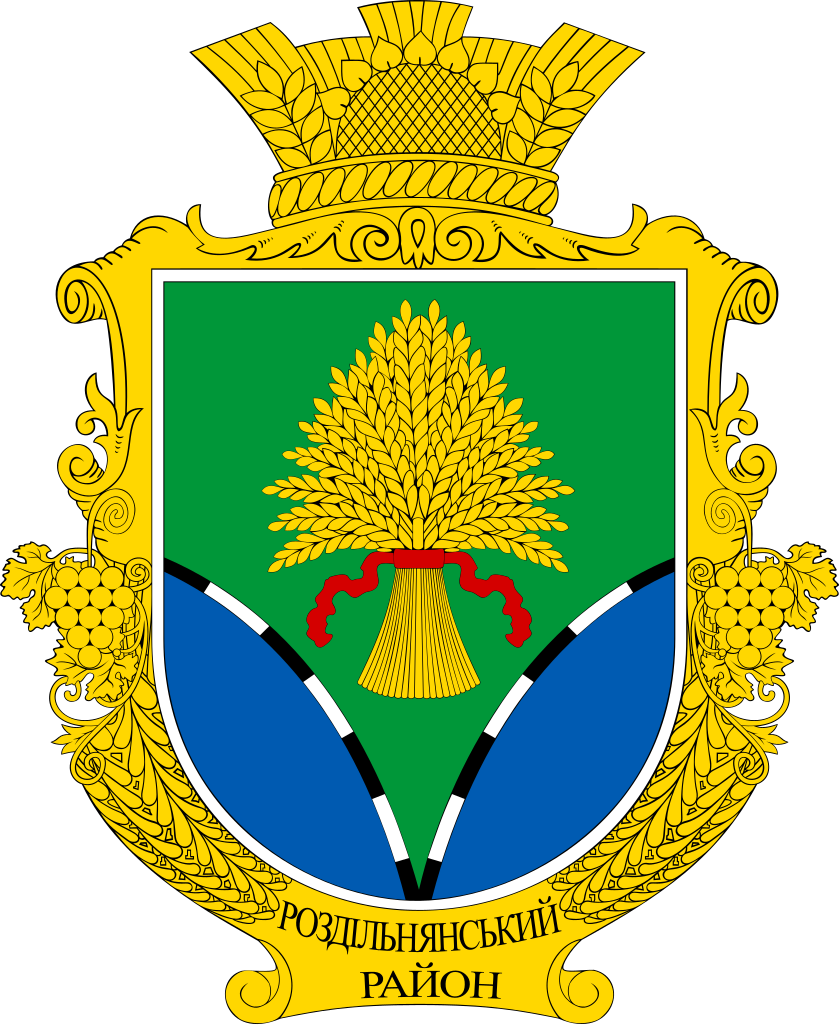
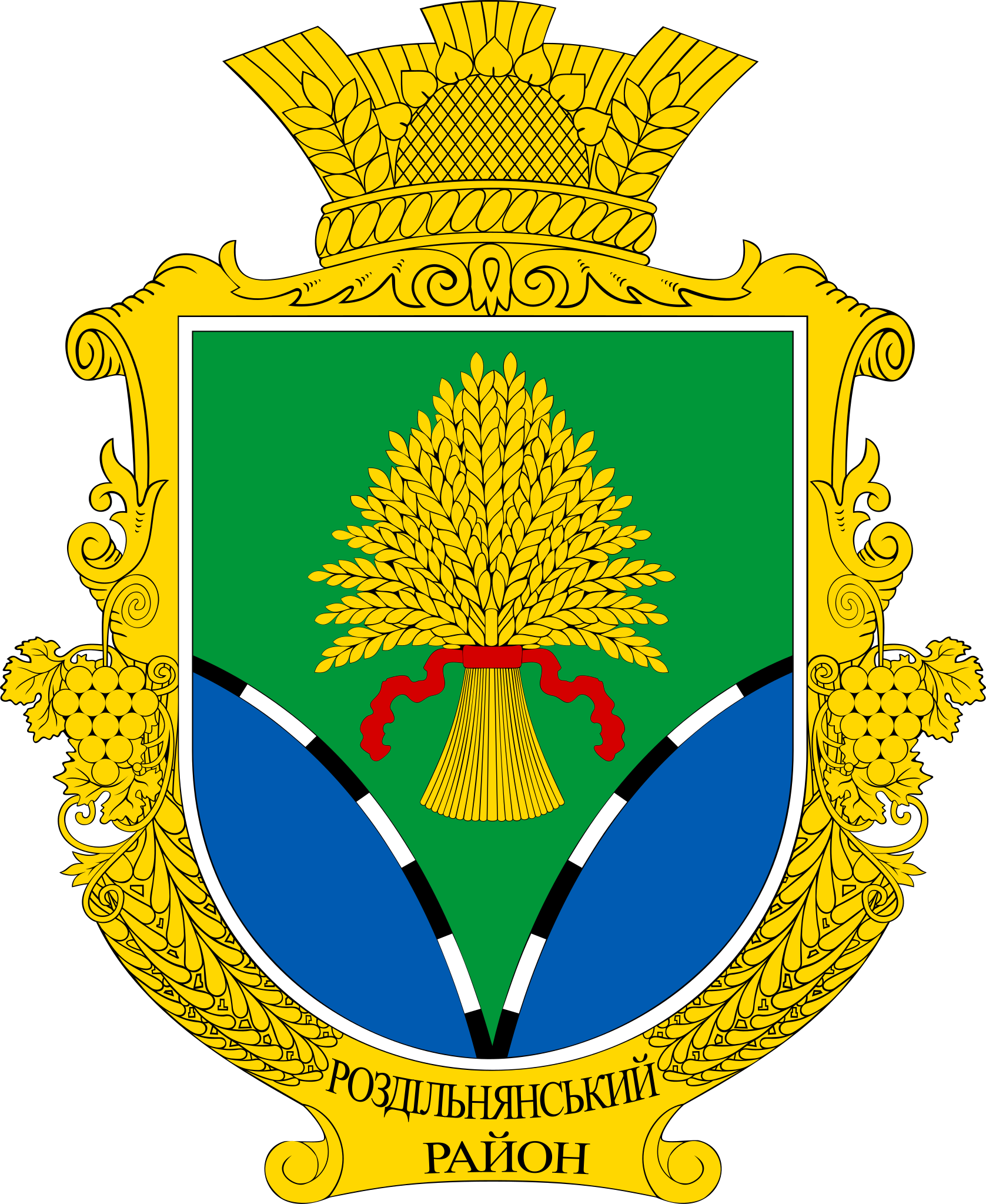
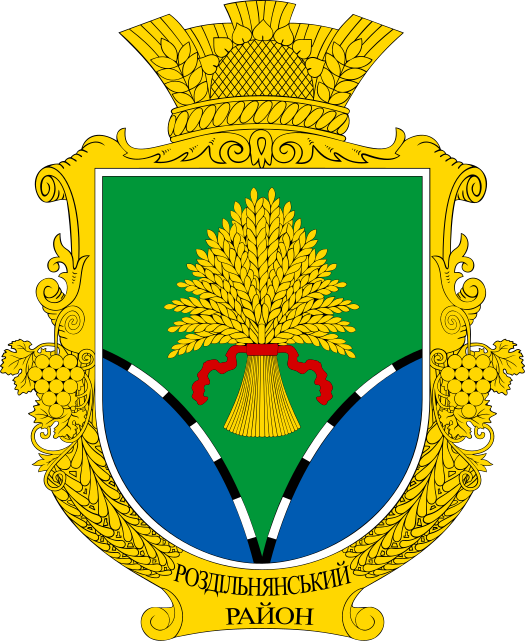
Українська: Герб Роздільнянського району Одеської області |
|||
| Date | ||||
| Source | Own work | |||
| Author | Leonid76 | |||
| Permission (Reusing this file) |
|

Licensing[edit]
I, the copyright holder of this work, hereby publish it under the following license:
| This file is made available under the Creative Commons CC0 1.0 Universal Public Domain Dedication. | |
| The person who associated a work with this deed has dedicated the work to the public domain by waiving all of their rights to the work worldwide under copyright law, including all related and neighboring rights, to the extent allowed by law. You can copy, modify, distribute and perform the work, even for commercial purposes, all without asking permission.
|
File history
Click on a date/time to view the file as it appeared at that time.
| Date/Time | Thumbnail | Dimensions | User | Comment | |
|---|---|---|---|---|---|
| current | 14:48, 9 June 2022 | | 525 × 641 (255 KB) | Leonid76 (talk | contribs) | correct text label |
| 14:42, 9 June 2022 |  | 525 × 641 (237 KB) | Leonid76 (talk | contribs) | Uploaded own work with UploadWizard |
You cannot overwrite this file.
File usage on Commons
The following 10 pages use this file:
- File:Rozdilnyanskiy rayon gerb.png
- Category:Births in Rozdilna Raion
- Category:Geography of Rozdilna Raion
- Category:History of Rozdilna Raion
- Category:Maps of Rozdilna Raion
- Category:Rozdilna Raion
- Category:Rozdilna Raion (1930-2020)
- Category:Rural settlements in Rozdilna Raion
- Category:Views of Rozdilna Raion
- Category:Villages in Rozdilna Raion
File usage on other wikis
The following other wikis use this file:
- Usage on ast.wikipedia.org
- Usage on ba.wikipedia.org
- Usage on be-tarask.wikipedia.org
- Usage on be.wikipedia.org
- Usage on bg.wikipedia.org
- Usage on ce.wikipedia.org
- Василевка (Раздельнин кӀошт)
- Павловка (Захарьевкан йуьртан йукъаралла)
- Степановка (Раздельнин кӀошт)
- Шевченково (Раздельнин кӀошт)
- Владимировка (Раздельнин гӀалин йукъаралла)
- Каменка (Раздельнин кӀошт)
- Стояново (Раздельнин кӀошт)
- Кошары (Раздельнин кӀошт)
- Новокрасни (Раздельнин кӀошт)
- Йосиповка (Раздельнин кӀошт)
- Лимански (Раздельнин кӀошт)
- Бецилово
- Болгарка (Одессин область)
- Бурдовка
- Буциновка
- Вакуловка (Одессин область)
- Виноградарь (эвла)
- Гаевка (Одессин область)
- Егоровка (Одессин область)
- Еремеевка (Украина)
- Благодатни (Раздельнин кӀошт)
- Кучурган (Раздельнин кӀошт)
- Лучински (Одессин область)
- Марковка (Одессин область)
- Новодмитровка (Одессин область)
- Новоукраинка (Раздельнин кӀошт)
- Нови Чобручи
- Балково (Одессин область)
- Понятовка (Одессин область)
- Раздольни (гӀала)
- Старостино (Одессин область)
- Степови (Раздельнин кӀошт)
- Труд-Куток
- Щербанка
- Яковлевка (Одессин область)
- Андрусова
- Войничево
- Затишье (Одессин область)
- Карабаново (Одессин область)
- Кошарка (Одессин область)
- Краснополь (Одессин область)
View more global usage of this file.