File:Cong River, County Mayo.jpg
Vai alla navigazione
Vai alla ricerca
Non sono disponibili versioni a risoluzione più elevata.
Cong_River,_County_Mayo.jpg (640 × 480 pixel, dimensione del file: 110 KB, tipo MIME: image/jpeg)
Didascalie
Didascalie
Aggiungi una brevissima spiegazione di ciò che questo file rappresenta
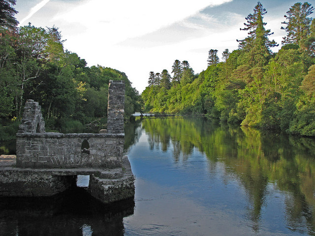
| Descrizione | Monks' fishing house on the Cong River,County Mayo. | ||
| Data | Monday, 16 June, 2008 | ||
| Fonte | https://www.geograph.org.uk/photo/867889 | ||
| Autore | C Michael Hogan | ||
| Licenza (Riusare questo file) |
Questo file è disponibile in base alla licenza Creative Commons Attribuzione-Condividi allo stesso modo 2.0 Generico Attribuzione: C Michael Hogan
|
||
| Attribuzione (richiesto dalla licenza) | C Michael Hogan / Monks' fishing house on the Cong River / | ||

| Luogo dello scatto | | Posizione di questa e altre immagini su: OpenStreetMap |
|---|
_heading:180.00&language=it)
| Posizione del soggetto | | Posizione di questa e altre immagini su: OpenStreetMap |
|---|
_heading:180.00&language=it)
Cronologia del file
Fare clic su un gruppo data/ora per vedere il file come si presentava nel momento indicato.
| Data/Ora | Miniatura | Dimensioni | Utente | Commento | |
|---|---|---|---|---|---|
| attuale | 17:32, 9 mag 2009 | | 640 × 480 (110 KB) | Stavros1 (discussione | contributi) | {{Information |Description= Monks' fishing house on the Cong River,County Mayo. |Source=http://www.geograph.org.uk/photo/867889 |Date=Monday, 16 June, 2008 |Author=C Michael Hogan |Permission= {{Geograph|867889|C Michael Hogan }} |other_versions= }} |
Impossibile sovrascrivere questo file.
Utilizzo del file
Le seguenti 2 pagine usano questo file:
- File:Cong River ,County Mayo.jpg (reindirizzamento file)
- Category:Cong River, Ireland
Utilizzo globale del file
Anche i seguenti wiki usano questo file:
- Usato nelle seguenti pagine di en.wikipedia.org:
- Usato nelle seguenti pagine di it.wikipedia.org:
- Usato nelle seguenti pagine di www.wikidata.org: