File:Flag map of Syria.svg
Jump to navigation
Jump to search

Size of this PNG preview of this SVG file: 706 × 600 pixels. Other resolutions: 283 × 240 pixels | 565 × 480 pixels | 904 × 768 pixels | 1,205 × 1,024 pixels | 2,411 × 2,048 pixels | 1,010 × 858 pixels.
Original file (SVG file, nominally 1,010 × 858 pixels, file size: 34 KB)
Captions
Captions
Add a one-line explanation of what this file represents
This W3C-unspecified vector image was created with Inkscape .
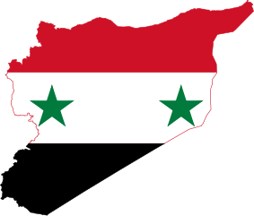
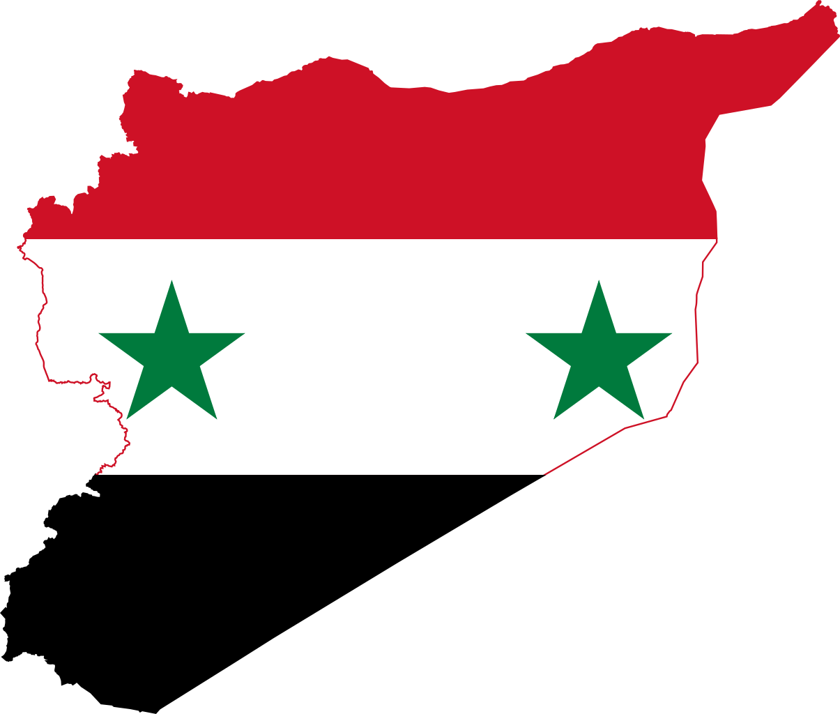
| Description | Flag-map of Syria |
| Source | self-made using Image:Flag of Syria.svg and Image:Syria location map.svg |
| Author | Darwinek |
I, the copyright holder of this work, hereby publish it under the following licenses:
This file is licensed under the Creative Commons Attribution-Share Alike 3.0 Unported license.
- You are free:
- to share – to copy, distribute and transmit the work
- to remix – to adapt the work
- Under the following conditions:
- attribution – You must give appropriate credit, provide a link to the license, and indicate if changes were made. You may do so in any reasonable manner, but not in any way that suggests the licensor endorses you or your use.
- share alike – If you remix, transform, or build upon the material, you must distribute your contributions under the same or compatible license as the original.

|
Permission is granted to copy, distribute and/or modify this document under the terms of the GNU Free Documentation License, Version 1.2 or any later version published by the Free Software Foundation; with no Invariant Sections, no Front-Cover Texts, and no Back-Cover Texts. A copy of the license is included in the section entitled GNU Free Documentation License. |
You may select the license of your choice.
File history
Click on a date/time to view the file as it appeared at that time.
| Date/Time | Thumbnail | Dimensions | User | Comment | |
|---|---|---|---|---|---|
| current | 07:31, 3 April 2016 | | 1,010 × 858 (34 KB) | Stasyan117 (talk | contribs) | Reduce |
| 07:18, 3 April 2016 |  | 1,012 × 858 (36 KB) | Stasyan117 (talk | contribs) | the correct distance between the stars | |
| 19:10, 25 January 2015 |  | 1,012 × 858 (32 KB) | Stasyan117 (talk | contribs) | Stars - code | |
| 00:16, 3 March 2013 |  | 1,012 × 858 (32 KB) | Fry1989 (talk | contribs) | regime has not changed, yet | |
| 17:40, 2 March 2013 |  | 1,012 × 858 (22 KB) | Mohammedbas (talk | contribs) | Reverted to version as of 17:35, 2 March 2013 | |
| 17:40, 2 March 2013 |  | 1,012 × 858 (22 KB) | Mohammedbas (talk | contribs) | fix | |
| 17:35, 2 March 2013 |  | 1,012 × 858 (22 KB) | Mohammedbas (talk | contribs) | fix | |
| 20:29, 25 February 2012 |  | 1,012 × 858 (32 KB) | Fry1989 (talk | contribs) | fix | |
| 12:41, 25 February 2012 |  | 1,014 × 860 (48 KB) | Дмитрий-5-Аверин (talk | contribs) | red border for visibility | |
| 22:00, 24 February 2012 |  | 1,014 × 860 (39 KB) | Fry1989 (talk | contribs) | black border for visibility |
You cannot overwrite this file.
File usage on Commons
The following 16 pages use this file:
.svg)
File usage on other wikis
The following other wikis use this file:
- Usage on ar.wikipedia.org
- ويكيبيديا:قوالب/بذور
- مردم بك
- ويكيبيديا:قوالب/بذور/جدول بذرة 1
- صح النوم (مسلسل)
- مرج دابق (حلب)
- حي السجن (اللاذقية)
- قصر الدارين
- المدرسة الفردوسية
- سور حمص
- مارتقلا (اللاذقية)
- وتل ذهب
- أولاد آدو
- الخرسا (قرية)
- صميد
- مجادل (قرية)
- المجدل (سوريا)
- ريمة اللحف
- كفر اللحف
- جدل (قرية)
- ولغا
- الدور (قرية)
- جرين
- الطيرة (قرية)
- أم العلق (قرية)
- حزم (قرية)
- الرمل الشمالي (اللاذقية)
- سميع (قرية)
- الحزب الديمقراطي التقدمي الكردي
- الدويرة (قرية)
- الفرقة الرابعة (سوريا)
- قالب:بذرة سوريا
- الهشيم (مسلسل)
- قائمة قرى الجولان
- الخشنية
- المنصورة (القنيطرة)
- الكرسي (قرية)
- دير مار جرجس (الحميراء)
- قالب:بذرة جغرافيا سوريا
- سد الطبقة
- البليخ
- نهر السن
- نهر الساجور
- الأعوج
- سد الرستن
- خان الحرير (حلب)
- رويحينة
- كحيل
- الخمائل
- الشيخ ضاهر (اللاذقية)
- تحت الحصار
View more global usage of this file.