File:Golden Horde 1389.svg
Jump to navigation
Jump to search

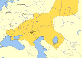
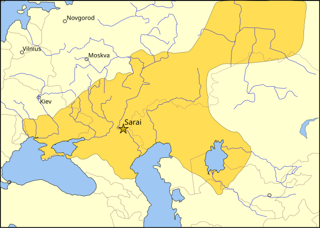
Size of this PNG preview of this SVG file: 800 × 569 pixels. Other resolutions: 320 × 228 pixels | 640 × 455 pixels | 1,024 × 728 pixels | 1,280 × 910 pixels | 2,560 × 1,820 pixels | 962 × 684 pixels.
Original file (SVG file, nominally 962 × 684 pixels, file size: 146 KB)
Captions
Captions
Add a one-line explanation of what this file represents
Summary
[edit]| Description |
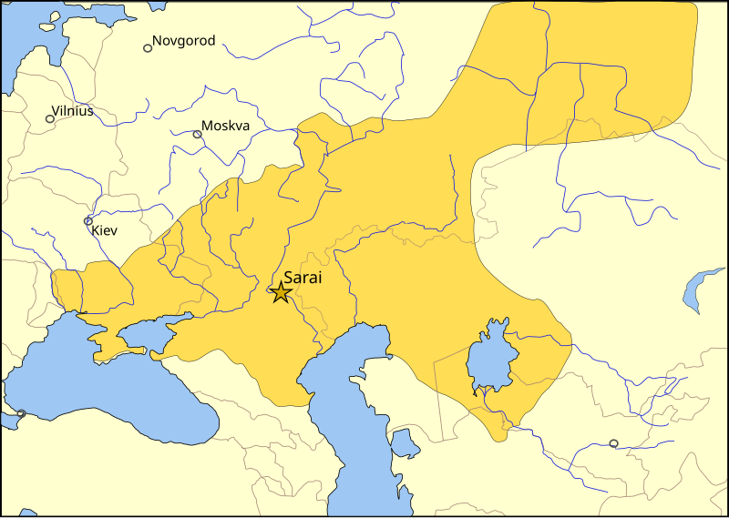
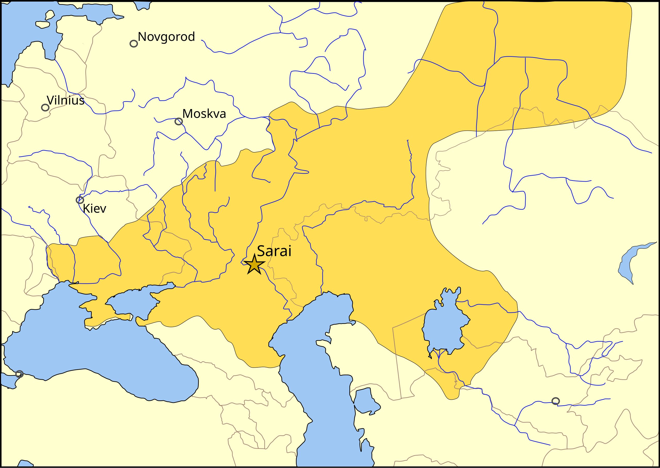
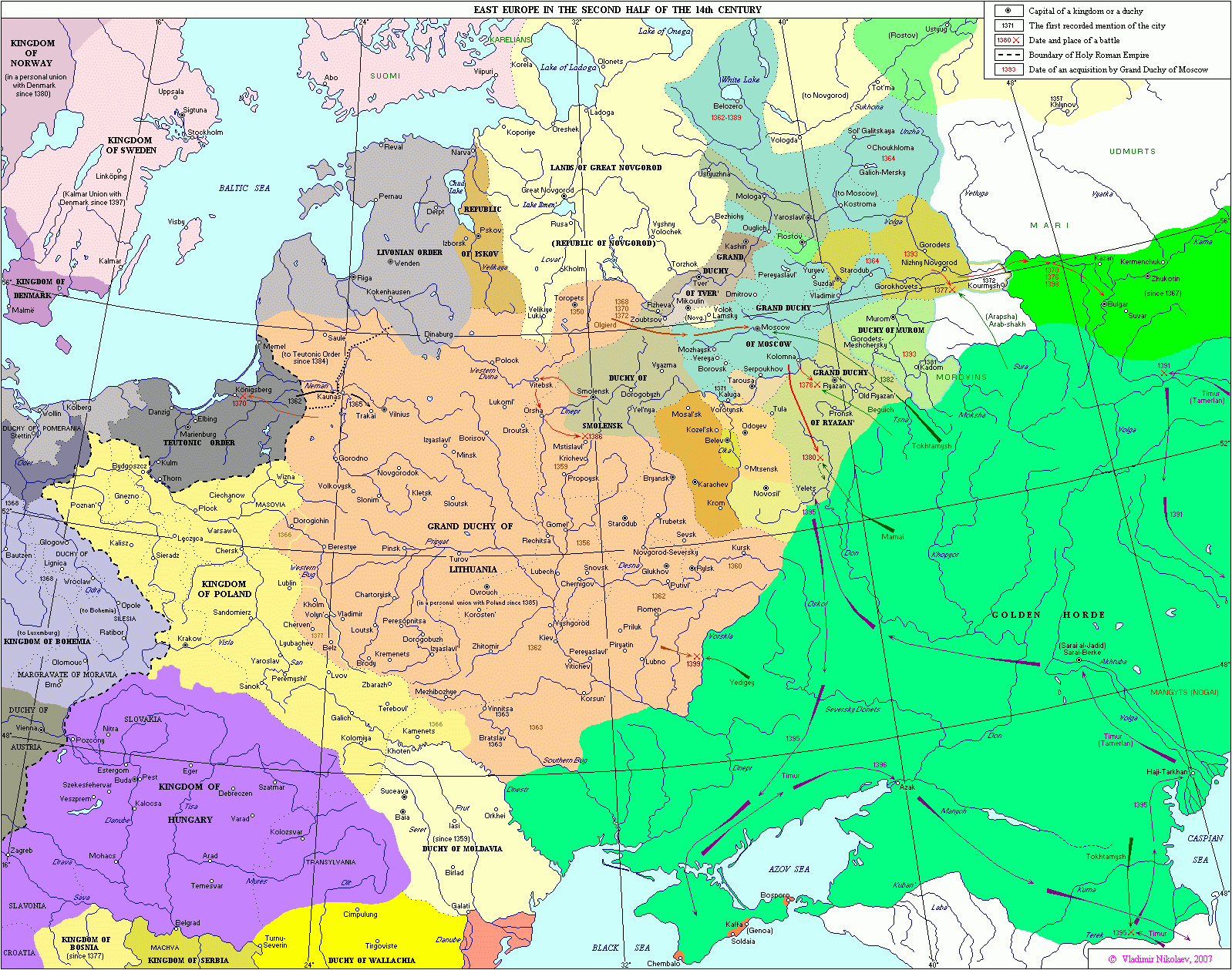
The domains of the Golden Horde in the year 1389, before the Tokhtamysh-Timur war. The rivers are shown in blue, the 2006 international borders in light brown, and important cities of 1389 with a black circle. The capital of the Golden Horde, Sarai is shown with a gold star. Kiev, Moscow, Novgorod and Vilnius are shown as circles. This map uses a Lambert azimuthal equal-area projection. |
| Date | |
| Source |
Own work. Sources used in creating this map:
|
| Author | MapMaster |
| Other versions |
[]
|
| SVG development |


Licensing
[edit]
I, the copyright holder of this work, hereby publish it under the following license:

|
Permission is granted to copy, distribute and/or modify this document under the terms of the GNU Free Documentation License, Version 1.2 or any later version published by the Free Software Foundation; with no Invariant Sections, no Front-Cover Texts, and no Back-Cover Texts. A copy of the license is included in the section entitled GNU Free Documentation License. |
| This file is licensed under the Creative Commons Attribution-Share Alike 3.0 Unported license. | ||
| ||
| This licensing tag was added to this file as part of the GFDL licensing update. |
File history
Click on a date/time to view the file as it appeared at that time.
| Date/Time | Thumbnail | Dimensions | User | Comment | |
|---|---|---|---|---|---|
| current | 20:28, 17 October 2022 | | 962 × 684 (146 KB) | Archiwald (talk | contribs) | File uploaded using svgtranslate tool (https://svgtranslate.toolforge.org/). Added translation for pl. |
| 11:44, 17 November 2012 |  | 962 × 684 (148 KB) | Joe Roe (talk | contribs) | Expanded city labels | |
| 14:44, 29 June 2011 |  | 962 × 684 (148 KB) | Любослов Езыкин (talk | contribs) | Chose a wrong file, sorry. | |
| 14:42, 29 June 2011 |  | 962 × 684 (148 KB) | Любослов Езыкин (talk | contribs) | The borders were totally fake and arbitrary. Fixed the borders of the Horde. Removed the senseless territory with the fake borders pretended to be the Moscow Principality. Add Vilnius. | |
| 18:58, 23 January 2007 |  | 962 × 684 (149 KB) | MapMaster (talk | contribs) | Moved western border to the w:en:Sura River. | |
| 04:05, 6 December 2006 |  | 962 × 684 (147 KB) | MapMaster (talk | contribs) | Minor but necessary corrections (see my Talk page). ~~~~ | |
| 00:05, 5 December 2006 |  | 962 × 684 (149 KB) | MapMaster (talk | contribs) | First version was truncated due to file settings. Re-upload, s'il vous plait. | |
| 00:01, 5 December 2006 |  | 512 × 346 (148 KB) | MapMaster (talk | contribs) | The domains of the Golden Horde in the year 1389, before the Tokhtamysh-Timur war. |
You cannot overwrite this file.
File usage on Commons
The following 13 pages use this file:
- User:MapMaster
- File:Golden Horde 1389-HE.svg
- File:Golden Horde 1389-ar.svg
- File:Golden Horde 1389-es.svg
- File:Golden Horde 1389-pt.svg
- File:Golden Horde 1389-ru.svg
- File:Golden Horde 1389-tr.svg
- File:Golden Horde 1389.svg
- File:Golden Horde 1389 el.PNG
- File:Golden Horde 1389 sr.svg
- Template:Other versions/Golden Horde 1389
- Category:Golden Horde
- Category:People of Golden Horde
File usage on other wikis
The following other wikis use this file:
- Usage on als.wikipedia.org
- Usage on an.wikipedia.org
- Usage on azb.wikipedia.org
- Usage on az.wikipedia.org
- Usage on bn.wikipedia.org
- Usage on bs.wikipedia.org
- Usage on ca.wikipedia.org
- Usage on cs.wikipedia.org
- Usage on da.wikipedia.org
- Usage on de.wikipedia.org
- Usage on en.wikipedia.org
- Usage on en.wikibooks.org
- Usage on eo.wikipedia.org
- Usage on et.wikipedia.org
- Usage on fa.wikipedia.org
- Usage on fi.wikipedia.org
- Usage on fr.wikipedia.org
- Usage on ga.wikipedia.org
- Usage on he.wikipedia.org
- Usage on hr.wikipedia.org
View more global usage of this file.