File:HAYS BRIDGE HISTORIC DISTRICT.jpg
Jump to navigation
Jump to search

Size of this preview: 800 × 530 pixels. Other resolutions: 320 × 212 pixels | 640 × 424 pixels | 1,024 × 679 pixels | 1,280 × 848 pixels | 2,560 × 1,697 pixels | 5,253 × 3,482 pixels.
Original file (5,253 × 3,482 pixels, file size: 1.87 MB, MIME type: image/jpeg)
Captions
Captions
Add a one-line explanation of what this file represents
Summary[edit]
| Description |
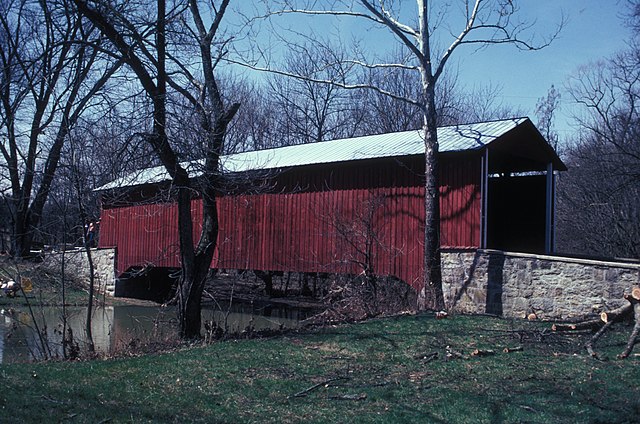
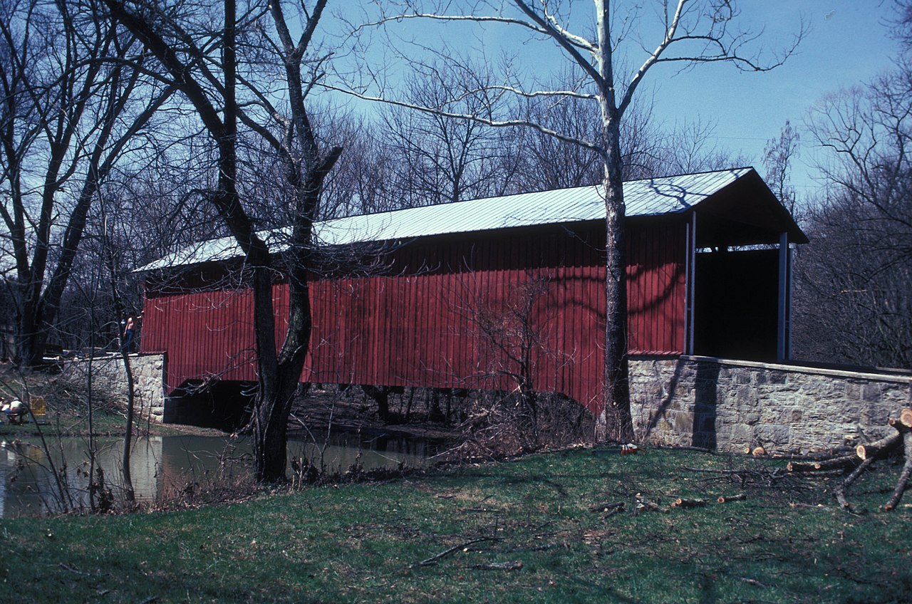
English: THE DISTRICT INCLUDES RED/WITHERSPOON CB OVER LICKING CREEK; 1883 94’ BURR PLUS A NEARBY MILL AND SEVERAL OTHER CONTRIBUTING STRUCTURES
|
||
| Date | |||
| Source | Own work | ||
| Author | JERRYE & ROY KLOTZ MD |
| Object location | | View this and other nearby images on: OpenStreetMap |
|---|
Licensing[edit]
I, the copyright holder of this work, hereby publish it under the following license:
This file is licensed under the Creative Commons Attribution-Share Alike 3.0 Unported license.
- You are free:
- to share – to copy, distribute and transmit the work
- to remix – to adapt the work
- Under the following conditions:
- attribution – You must give appropriate credit, provide a link to the license, and indicate if changes were made. You may do so in any reasonable manner, but not in any way that suggests the licensor endorses you or your use.
- share alike – If you remix, transform, or build upon the material, you must distribute your contributions under the same or compatible license as the original.
File history
Click on a date/time to view the file as it appeared at that time.
| Date/Time | Thumbnail | Dimensions | User | Comment | |
|---|---|---|---|---|---|
| current | 02:07, 16 February 2013 | | 5,253 × 3,482 (1.87 MB) | Cropbot (talk | contribs) | upload cropped version, operated by User:Ruhrfisch. Summary: cropped |
| 17:13, 2 January 2013 |  | 5,782 × 3,946 (2.12 MB) | KLOTZ (talk | contribs) | User created page with UploadWizard |
You cannot overwrite this file.
File usage on Commons
The following page uses this file:
File usage on other wikis
The following other wikis use this file:
- Usage on en.wikipedia.org
- Montgomery Township, Franklin County, Pennsylvania
- List of bridges on the National Register of Historic Places in Pennsylvania
- National Register of Historic Places listings in Franklin County, Pennsylvania
- List of covered bridges on the National Register of Historic Places in Pennsylvania
- Hays Bridge Historic District
- User talk:Dthomsen8/List PA Test
- Usage on es.wikipedia.org
- Usage on fr.wikipedia.org
- Usage on tl.wikipedia.org
- Usage on uk.wikipedia.org
- Usage on ur.wikipedia.org
- Usage on vi.wikipedia.org
- Usage on www.wikidata.org