File:Location of Hisor District in Tajikistan.png
Jump to navigation
Jump to search

Size of this preview: 800 × 512 pixels. Other resolutions: 320 × 205 pixels | 640 × 410 pixels | 1,024 × 656 pixels | 1,280 × 819 pixels | 1,601 × 1,025 pixels.
Original file (1,601 × 1,025 pixels, file size: 36 KB, MIME type: image/png)
Captions
Captions
Add a one-line explanation of what this file represents
| Description |
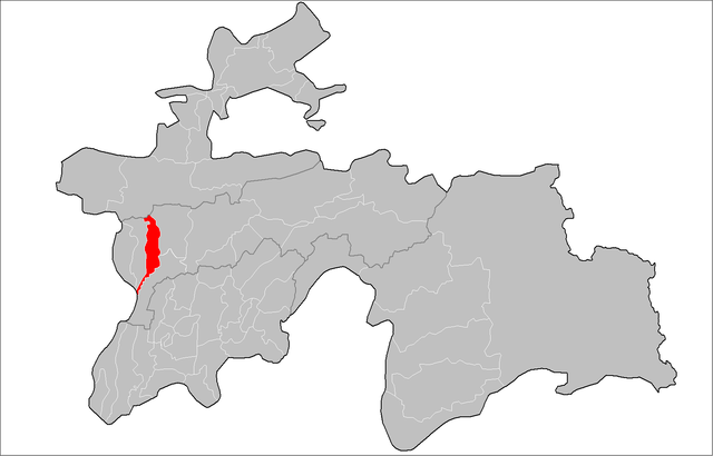
English: Location of Hisor District in Tajikistan
Русский: Расположение Гиссарского района в Таджикистане
Українська: Розташування Гісарського району в Таджикистані |
| Date | |
| Source | Tajikistan_districts.png |
| Author |
|
| This is a retouched picture, which means that it has been digitally altered from its original version. Modifications: highlight Hisor District. The original can be viewed here: Tajikistan districts.png:
|
This file is licensed under the Creative Commons Attribution-Share Alike Attribution-Share Alike 4.0 International, 3.0 Unported, 2.5 Generic, 2.0 Generic and 1.0 Generic license.
- You are free:
- to share – to copy, distribute and transmit the work
- to remix – to adapt the work
- Under the following conditions:
- attribution – You must give appropriate credit, provide a link to the license, and indicate if changes were made. You may do so in any reasonable manner, but not in any way that suggests the licensor endorses you or your use.
- share alike – If you remix, transform, or build upon the material, you must distribute your contributions under the same or compatible license as the original.
Original upload log
[edit]
This image is a derivative work of the following images:
- File:Tajikistan_districts.png licensed with PD-self, PD-self/en
- 2009-02-10T23:46:18Z Ahonc 1601x1025 (36712 Bytes) Norak District belongs to Khatlon Province
- 2009-01-28T16:36:06Z Ahonc 1601x1025 (36759 Bytes)
- 2007-08-06T19:57:28Z Rarelibra 1601x1025 (34585 Bytes) Map of the raions of Tajikistan. Created by ~~~~ for public domain use, using MapInfo Professional v8.5 and various mapping resources.
Uploaded with derivativeFX
File history
Click on a date/time to view the file as it appeared at that time.
| Date/Time | Thumbnail | Dimensions | User | Comment | |
|---|---|---|---|---|---|
| current | 23:52, 10 February 2009 | | 1,601 × 1,025 (36 KB) | Ahonc (talk | contribs) | {{Information |Description={{En|Location of Hisor District in Tajikistan}} {{Ru|Расположение Гиссарского района в Таджикистане}} {{Uk|Розташування Гісарського району в Таджики� |
You cannot overwrite this file.
File usage on Commons
The following page uses this file:
File usage on other wikis
The following other wikis use this file:
- Usage on ce.wikipedia.org
- Usage on de.wikipedia.org
- Usage on en.wikipedia.org
- Usage on es.wikipedia.org
- Usage on fa.wikipedia.org
- Usage on pnb.wikipedia.org
- Usage on ru.wikipedia.org
- Usage on tg.wikipedia.org
- Ҳисор
- Алмосӣ
- Бағалак
- Кончӣ
- Ноҳияи Ҳисор
- Афғонобод
- Бурёбоф
- Боғ (деҳа, н. Ҳисор)
- Баракат (деҳа, н. Ҳисор)
- Бӯстон (деҳа, н. Ҳисор)
- Ғайратобод
- Ғуриёт
- Даҳбед (деҳа, н. Ҳисор)
- Деҳқонобод (деҳа, н. Ҳисор)
- Дурбат
- Дучинора
- Кӯшкаки Мазор
- Хирманак
- Хочилдиёр
- Хочилдиёри Боло
- Хокистартеппа
- Хонақоҳ (деҳа, н. Ҳисор)
- Искич
- Лангар (деҳа, н. Ҳисор)
- Лолагӣ (деҳа, н. Ҳисор)
- Лолазор (деҳа, н. Ҳисор)
- Мавлонҷар
- Мавлонҷари Боло
- Меҳробод (деҳа, н. Ҳисор)
- Мортеппа
- Нилу
- Ноҷии Боло
- Ноҷии Поён
- Нуробод (деҳа, н. Ҳисор)
- Нурафшон (деҳа, н. Ҳисор)
- Сурхакчашма
- Сурхакчашмаи Боло
- Ситора (деҳа, н. Ҳисор)
- Сангчашма
- Равшандилон
- Ойбош
- Обшорон (деҳа, н. Ҳисор)
- Деҳи Нав
View more global usage of this file.