File:Louisiana parishes map.png
Jump to navigation
Jump to search

Size of this preview: 651 × 600 pixels. Other resolutions: 261 × 240 pixels | 521 × 480 pixels | 865 × 797 pixels.
Original file (865 × 797 pixels, file size: 144 KB, MIME type: image/png)
Captions
Captions
Add a one-line explanation of what this file represents
Summary
[edit]
| Description |
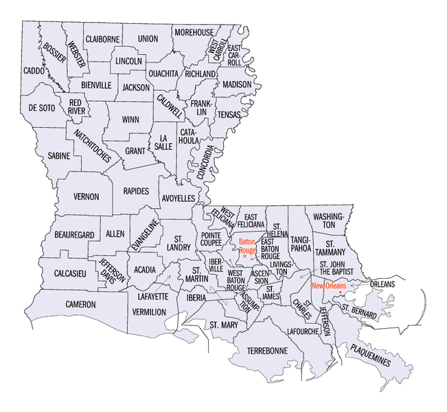
English: Map of Louisiana parishes. |
| Source | |
| Author | United States Census Bureau |
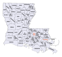
| Other versions |
Same map with labels enlarged, including darker labels for parishes of New Orleans: |
Licensing
[edit]
This image or file is a work of a United States Census Bureau employee, taken or made as part of that person's official duties. As a work of the U.S. federal government, the image is in the public domain.
|
 |
Original upload log
[edit]
The original description page was here. All following user names refer to en.wikipedia.
- 2005-06-24 22:45 Jengod 865×797× (147111 bytes) {{PD-USGov-DOC-Census}} [[Category:Louisiana maps]]
File history
Click on a date/time to view the file as it appeared at that time.
| Date/Time | Thumbnail | Dimensions | User | Comment | |
|---|---|---|---|---|---|
| current | 13:27, 14 July 2006 | | 865 × 797 (144 KB) | JosN (talk | contribs) | Map of Louisiana parishes Used in English wikipedia category:Maps of Louisiana |
You cannot overwrite this file.
File usage on Commons
The following page uses this file:
File usage on other wikis
The following other wikis use this file:
- Usage on en.wikipedia.org
- Usage on eo.wikipedia.org
- Usage on es.wikipedia.org
- Usage on hu.wikipedia.org
- Usage on it.wikipedia.org
- Usage on ja.wikipedia.org
- Usage on ko.wikipedia.org
- Usage on nds.wikipedia.org
- Usage on nl.wikipedia.org
- Usage on pl.wikipedia.org
- Usage on ro.wikipedia.org
- Usage on sv.wikipedia.org