File:Round 'em up.jpg
Jump to navigation
Jump to search
No higher resolution available.
Round_'em_up.jpg (640 × 431 pixels, file size: 96 KB, MIME type: image/jpeg)
Captions
Captions
Add a one-line explanation of what this file represents
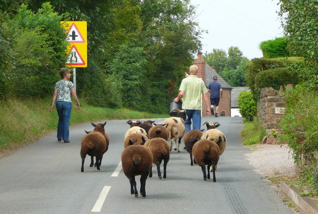
| Description | Escaped sheep being led back in to a pasture with a bucket of feed. | ||
| Source | Geograph Project U.K. | ||
| Author | Jonathan Billinger | ||
| Permission (Reusing this file) |
This file is licensed under the Creative Commons Attribution-Share Alike 2.0 Generic license. Attribution: Jonathan Billinger
|
||
| Attribution (required by the license) | Jonathan Billinger / Round 'em up / | ||

| Camera location | | View this and other nearby images on: OpenStreetMap |
|---|
_heading:337.00&language=en)
| Object location | | View this and other nearby images on: OpenStreetMap |
|---|
_heading:337.00&language=en)
File history
Click on a date/time to view the file as it appeared at that time.
| Date/Time | Thumbnail | Dimensions | User | Comment | |
|---|---|---|---|---|---|
| current | 22:28, 22 November 2008 | | 640 × 431 (96 KB) | Steven Walling (talk | contribs) | {{Information |Description=Escaped sheep being led back in to a pasture with a bucket of feed. |Source=[http://www.geograph.org.uk/photo/950520 Geograph Project U.K.] |Date= |Author=Jonathan Billinger |Permission={{geograph|950520|Jonathan Billinger}} |
You cannot overwrite this file.
File usage on Commons
There are no pages that use this file.
File usage on other wikis
The following other wikis use this file: