File:Ci-map.png
Jump to navigation
Jump to search
Size of this preview: 276 × 598 pixels. Other resolutions: 110 × 240 pixels | 336 × 728 pixels.
Original file (336 × 728 pixels, file size: 24 KB, MIME type: image/png)
Captions
Captions
Add a one-line explanation of what this file represents
This image is in the public domain because it contains materials that originally came from the United States Central Intelligence Agency's World Factbook.
|
 |
via en:Image:Ci-map.png
File history
Click on a date/time to view the file as it appeared at that time.
| Date/Time | Thumbnail | Dimensions | User | Comment | |
|---|---|---|---|---|---|
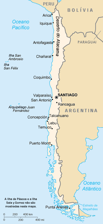
| current | 12:52, 7 February 2006 | | 336 × 728 (24 KB) | LeonardoG (talk | contribs) | This image was copied from wikipedia:pt. The original description was: Mapa do Chile. A tradução deste mapa para o português está lançada sob a GNU Free Documentation License. {{GFDL}} '''Fonte original''' * http:// |
| 16:17, 22 January 2005 |  | 325 × 709 (20 KB) | A-giâu (talk | contribs) | {{PD-USGov-CIA-WF}} via en:Image:Ci-map.png |
You cannot overwrite this file.
File usage on Commons
The following page uses this file:
File usage on other wikis
The following other wikis use this file:
- Usage on ast.wikipedia.org
- Usage on be-tarask.wikipedia.org
- Usage on ca.wikipedia.org
- Usage on cy.wikipedia.org
- Usage on da.wikipedia.org
- Usage on de.wikipedia.org
- Usage on de.wikibooks.org
- Usage on dsb.wikipedia.org
- Usage on en.wikibooks.org
- Usage on eo.wikipedia.org
- Usage on es.wikinews.org
- Usage on ff.wikipedia.org
- Usage on gl.wikipedia.org
- Usage on he.wikipedia.org
- Usage on he.wiktionary.org
- Usage on id.wikibooks.org
- Usage on io.wikipedia.org
- Usage on ja.wikipedia.org
- Usage on kn.wikipedia.org
- Usage on nn.wikipedia.org
- Usage on no.wikipedia.org
- Usage on pt.wikinews.org
- Usage on qu.wikipedia.org
- Usage on sa.wikipedia.org
- Usage on sv.wikipedia.org
- Usage on tl.wikipedia.org
- Usage on zh-min-nan.wikipedia.org