File:Australia queensland eulo paroo river.jpg
Jump to navigation
Jump to search
Size of this preview: 800 × 600 pixels. Other resolutions: 320 × 240 pixels | 640 × 480 pixels | 1,024 × 768 pixels | 1,280 × 960 pixels | 2,592 × 1,944 pixels.
Original file (2,592 × 1,944 pixels, file size: 2.02 MB, MIME type: image/jpeg)
Captions
Captions
Add a one-line explanation of what this file represents
Summary[edit]
| Description |
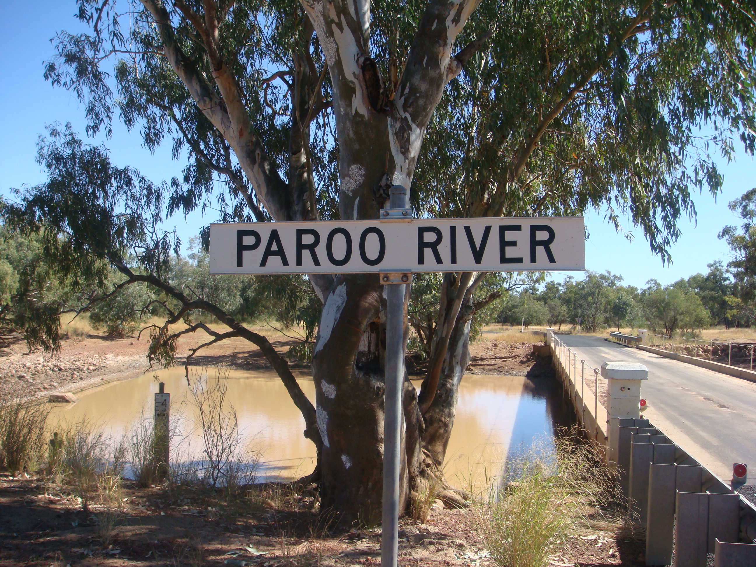
English: The Paroo river crossing and weir at Eulo. |
| Date | |
| Source | Own work |
| Author | User: (WT-shared) Inas at wts wikivoyage |
| Other versions |
| Camera location | | View this and other nearby images on: OpenStreetMap |
|---|
Licensing[edit]
| This work has been released into the public domain by its author, User: (WT-shared) Inas at wts wikivoyage. This applies worldwide. In some countries this may not be legally possible; if so: User: (WT-shared) Inas at wts wikivoyage grants anyone the right to use this work for any purpose, without any conditions, unless such conditions are required by law.
|
Original upload log[edit]
| This file was imported from Wikivoyage WTS. |
The original description page was here. All following user names refer to wts.wikivoyage-old.
- 2008-05-15 11:06 (WT-shared) Inas[dead link] 2592×1944 (2116876 bytes) {{Imagecredit|credit=|captureDate=April 2008|location=Eulo, Queensland|source=me|caption=The Paroo river crossing ane weir at Eulo|descripti (Import from wikitravel.org/shared)
File history
Click on a date/time to view the file as it appeared at that time.
| Date/Time | Thumbnail | Dimensions | User | Comment | |
|---|---|---|---|---|---|
| current | 15:56, 1 December 2012 | | 2,592 × 1,944 (2.02 MB) | MGA73bot2 (talk | contribs) | {{BotMoveToCommons|wts.oldwikivoyage|year={{subst:CURRENTYEAR}}|month={{subst:CURRENTMONTHNAME}}|day={{subst:CURRENTDAY}}}} == {{int:filedesc}} == {{Information |description=The Paroo river crossing and weir at Eulo. Paroo river at Eulo, Eulo |date=Apr... |
You cannot overwrite this file.
File usage on Commons
The following page uses this file:
File usage on other wikis
The following other wikis use this file:
- Usage on en.wikipedia.org
- Usage on en.wikivoyage.org