File:Brighton's West Pier - geograph.org.uk - 1465374.jpg
Jump to navigation
Jump to search
No higher resolution available.
Brighton's_West_Pier_-_geograph.org.uk_-_1465374.jpg (640 × 418 pixels, file size: 31 KB, MIME type: image/jpeg)
Captions
Captions
Add a one-line explanation of what this file represents
| Description |
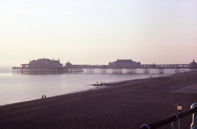
English: West Pier, Brighton, Great Britain. |
||
| Date | |||
| Source | From geograph.org.uk | ||
| Author | Barry Shimmon | ||
| Permission (Reusing this file) |
This file is licensed under the Creative Commons Attribution-Share Alike 2.0 Generic license. Attribution: Barry Shimmon
|

| Camera location | | View this and other nearby images on: OpenStreetMap |
|---|
| Object location | | View this and other nearby images on: OpenStreetMap |
|---|
_region:GB-ENG_heading:247.00&language=en)
File history
Click on a date/time to view the file as it appeared at that time.
| Date/Time | Thumbnail | Dimensions | User | Comment | |
|---|---|---|---|---|---|
| current | 13:13, 25 June 2010 | | 640 × 418 (31 KB) | File Upload Bot (Magnus Manske) (talk | contribs) | == {{int:filedesc}} == {{Information |Description={{en|1=Brighton's West Pier, near to Brighton</b> and Hove, Great Britain. }} |Source=From [http://www.geograph.org.uk/photo/1465374 geograph.org.uk]; transferred by User:Bdk using [http://toolser |
You cannot overwrite this file.
File usage on Commons
The following page uses this file:
File usage on other wikis
The following other wikis use this file:
- Usage on en.wikipedia.org