File:Germany, Federal Republic of location map October 1949 - November 1950.svg

Исходный файл (SVG-файл, номинально 1075 × 1273 пкс, размер файла: 501 КБ)
Краткие подписи
Краткие подписи
Краткое описание
[править]| Описание |
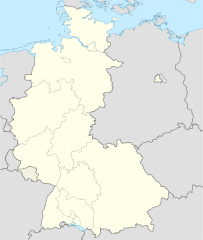
Deutsch: Positionskarte der Bundesrepublik Deutschland. Diese Karte zeigt die Bundesrepublik im Gebietsstand zwischen Oktober 1949 bis November 1950.
Quadratische Plattkarte, N-S-Streckung 150 %. Geographische Begrenzung der Karte:
English: Location map of Federal Republic of Germany. Map shows West-Germany as of October 1949 bis November 1950.
Equirectangular projection, N/S stretching 150 %. Geographic limits of the map:
|
||
| Дата | Created in 2009 | ||
| Источник | own work, based on File:Germany location map.svg | ||
| Автор | TUBS | ||
| Права (Повторное использование этого файла) |
Я, владелец авторских прав на это произведение, добровольно публикую его на условиях следующих лицензий:
Этот файл доступен по лицензии Creative Commons Attribution-Share Alike 3.0 Unported.
Вы можете выбрать любую из этих лицензий. |
||
| Другие версии |
Bundesrepublik Deutschland (vor 1990 nur West-Deutschland):
Deutsche Demokratische Republik (mit BRD im Ausschnitt):
Ostdeutschland (vor 1990 Deutsche Demokratische Republik):
Deutschland zwischen Mai 1945 und Oktober 1949:
Thematisch:
Deutsches Reich (1918–1945) (best used with this template (de)):
|


_23_May_1949_-_6_Oct_1949.svg)


_location_map.svg)
_location_map_2013.svg)


История файла
Нажмите на дату/время, чтобы увидеть версию файла от того времени.
| Дата/время | Миниатюра | Размеры | Участник | Примечание | |
|---|---|---|---|---|---|
| текущий | 14:47, 16 сентября 2013 | | 1075 × 1273 (501 КБ) | NordNordWest (обсуждение | вклад) | Reverted to version as of 08:35, 16 September 2013; your are destroying the location map template function |
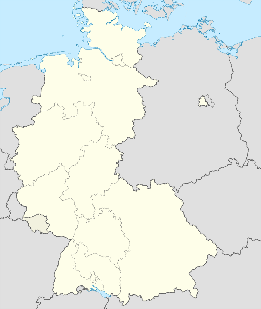
| 12:43, 16 сентября 2013 |  | 927 × 1274 (679 КБ) | SokoWiki (обсуждение | вклад) | Saarland was not part of the Federal Republic of Germany until 1957 and Berlin was not until 1990. | |
| 08:35, 16 сентября 2013 |  | 1075 × 1273 (501 КБ) | NordNordWest (обсуждение | вклад) | Reverted to version as of 22:13, 15 September 2013 | |
| 22:37, 15 сентября 2013 |  | 927 × 1274 (679 КБ) | SokoWiki (обсуждение | вклад) | Reverted to version as of 20:00, 15 September 2013 | |
| 22:13, 15 сентября 2013 |  | 1075 × 1273 (501 КБ) | TUBS (обсуждение | вклад) | Reverted to version as of 19:15, 22 January 2009 | |
| 20:00, 15 сентября 2013 |  | 927 × 1274 (679 КБ) | SokoWiki (обсуждение | вклад) | * | |
| 19:15, 22 января 2009 |  | 1075 × 1273 (501 КБ) | TUBS (обсуждение | вклад) | == {{int:filedesc}} == {{Information |Description= {{de|Positionskarte der Bundesrepublik Deutschland. Diese Karte zeigt die Bundesrepublik im Gebietsstand zwischen Oktober 1949 bis November 1950.}} Quadratische Plattkarte, N-S-Strecku |
Вы не можете перезаписать этот файл.
Использование файла
Следующие 28 страниц используют этот файл:
- File:Deutschland Autobahnen.svg
- File:East-West-Germany-October 1949-July 1952.svg
- File:East Germany location map.svg
- File:Germany, Federal Republic of location map 23 May 1949 - 6 Oct 1949.svg
- File:Germany, Federal Republic of location map April 1952 - August 1955.svg
- File:Germany, Federal Republic of location map December 1950 - April 1952.svg
- File:Germany, Federal Republic of location map January 1957 - October 1990.svg
- File:Germany, Federal Republic of location map October 1949 - November 1950.svg
- File:Germany, Federal Republic of location map September 1955 - December 1956.svg
- File:Germany, German Democratic Republic location map January 1957 - October 1990.svg
- File:Germany, German Democratic Republic location map July 1952 - January 1957.svg
- File:Germany, German Democratic Republic location map October 1949 - July 1952.svg
- File:Germany, German Democratic Republic location map w·o FRG July 1952 - October 1990.svg
- File:Germany, German Democratic Republic location map w·o FRG October 1949 - June 1952.svg
- File:Germany, location map (SBZ perspective) 23 May 1949 - 6 Oct 1949.svg
- File:Germany2 location map.svg
- File:Germany location map.svg
- File:Germany location map 23 April 1949 - 22 May 1949.svg
- File:Germany location map 8 Jun 1947 - 22 Apr 1949.svg
- File:Germany location map April 1992 - July 1992.svg
- File:Germany location map August 1992 - June 1993.svg
- File:Germany location map July 1993 - December 2009.svg
- File:Germany location map October 1990 - March 1992.svg
- File:Germany location map labeled 8 Jun 1947 - 22 Apr 1949.svg
- File:Lage Freiberg in Deutschland.png
- File:Relief Map of Germany.png
- File:Relief Map of Germany.svg
- Template:Germany location map/other versions
Глобальное использование файла
Данный файл используется в следующих вики:
- Использование в de.wikipedia.org
- Использование в en.wikipedia.org
- Использование в fi.wikipedia.org
- Использование в no.wikipedia.org
- Использование в pl.wikipedia.org
- Использование в pl.wikibooks.org
- Использование в pt.wikipedia.org
- Использование в ru.wikipedia.org
- Использование в zh-yue.wikipedia.org