File:Innlandet in Norway 2024.svg

Archivo original (archivo SVG, nominalmente 1361 × 1501 píxeles, tamaño de archivo: 1,63 MB)
Leyendas
Leyendas
Resumen[editar]
.svg)
.svg)
.svg)
.svg)
.svg)
.svg)
.svg)

-en.svg)

.svg)
.svg)
.svg)

_(US48).svg)
_(small_islands_magnified)_(-mini_map_-rivers).svg)
.svg)
_(extra_close)_(US48).svg)
.svg)
_(zoom).svg)

.svg)


_(UNMIK).svg)
.svg)
_(disputed_hatched).svg)
_(claimed_and_disputed_hatched).svg)
.svg)
.svg)
_(%2Ball_claims_hatched).svg)

.svg)
_(shade).svg)
_(shade)_(special_marker).svg)
_(-mini_map).svg)
_(-mini_map).svg)
_(-mini_map).svg)


.svg)

.svg)

|
Este mapa se ha hecho o mejorado en el Kartenwerkstatt (taller cartográfico) alemán. También puede proponer mapas para mejorar.
|
Licencia[editar]
Usage of this file with:

explanatory notes: Legally binding is only the full legalcode. For a free usage I recommend to respect the following licence conditions:
1. Provide my name as given above: NordNordWest,
2. a copy of, or the URI for, the applicable license: https://creativecommons.org/licenses/by-sa/3.0/de/legalcode,
3. the title of the work,
4. in the case of an adaptation, a credit identifying the use of the work in the adaptation.
This license and the rights granted hereunder will terminate automatically upon any breach by you of the terms of this license. Any of the above conditions can be waived if you get permission from the copyright holder. If you have questions or wish differing conditions, please contact me through nnwest or my discussion page ![]() t-online.de
t-online.de
- Eres libre:
- de compartir – de copiar, distribuir y transmitir el trabajo
- de remezclar – de adaptar el trabajo
- Bajo las siguientes condiciones:
- atribución – Debes otorgar el crédito correspondiente, proporcionar un enlace a la licencia e indicar si realizaste algún cambio. Puedes hacerlo de cualquier manera razonable pero no de manera que sugiera que el licenciante te respalda a ti o al uso que hagas del trabajo.
- compartir igual – En caso de mezclar, transformar o modificar este trabajo, deberás distribuir el trabajo resultante bajo la misma licencia o una compatible como el original.

Historial del archivo
Haz clic sobre una fecha y hora para ver el archivo tal como apareció en ese momento.
| Fecha y hora | Miniatura | Dimensiones | Usuario | Comentario | |
|---|---|---|---|---|---|
| actual | 15:04 1 ene 2024 | | 1361 × 1501 (1,63 MB) | NordNordWest (discusión | contribs.) | corr |
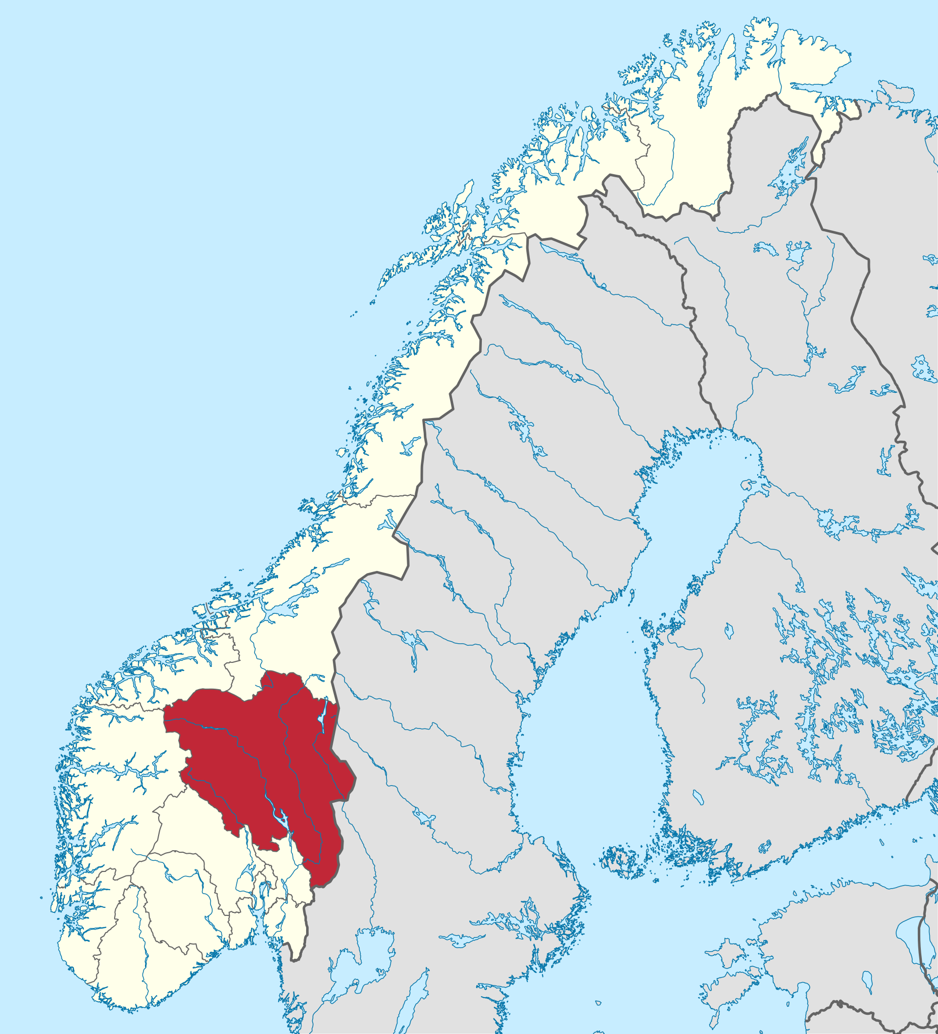
| 22:19 2 dic 2023 |  | 1361 × 1501 (1,62 MB) | NordNordWest (discusión | contribs.) | == {{int:filedesc}} == {{Information |description= {{de|Lage der Provinz Innlandet in Norwegen, Stand: 1. Januar 2024}} {{en|Location of county Innlandet in Norway (2024)}} |date=2023-12-02 |source={{Own}} |author={{U|NordNordWest}} |other versions={{SVG locator maps (location map scheme)}} }} {{Kartenwerkstatt}} == {{int:license-header}} == {{User:NordNordWest/LicenceMap}} Category:SVG locator maps of counties in Norway (location map scheme) Category:Files by NordNordWest |
No puedes sobrescribir este archivo.
Usos del archivo
Las siguientes páginas usan este archivo:
- File:Innlandet in Norway 2024.svg
- Category:Airports in Innlandet
- Category:Births in Innlandet
- Category:Bridges in Innlandet
- Category:Churches in Innlandet
- Category:Culture of Innlandet
- Category:Education in Innlandet
- Category:Farms in Innlandet
- Category:Geography of Innlandet
- Category:Geography of Våler, Innlandet
- Category:History of Innlandet
- Category:Hotels in Innlandet
- Category:Hydroelectric power plants in Innlandet
- Category:Innlandet
- Category:Lakes of Innlandet
- Category:Museums in Innlandet
- Category:Public transport in Innlandet
- Category:Rail tunnels in Innlandet
- Category:Rivers of Innlandet
- Category:Road transport in Innlandet
- Category:Roads in Innlandet
- Category:Schools in Innlandet
- Category:Sports in Innlandet
- Category:Sports venues in Innlandet
- Category:Valleys of Innlandet
- Category:Waterfalls in Innlandet
Uso global del archivo
Las wikis siguientes utilizan este archivo:
- Uso en ar.wikipedia.org
- Uso en de.wikipedia.org
- Uso en el.wikipedia.org
- Uso en eo.wikipedia.org
- Uso en es.wikipedia.org
- Uso en nl.wikipedia.org
- Uso en ps.wikipedia.org
- Uso en ru.wikipedia.org
- Uso en sv.wikipedia.org
- Løten
- Øyer
- Folldal
- Stange
- Tolga
- Tynset
- Ringebu
- Dovre
- Lillehammer
- Magnor
- Segalstad bru
- Slidre
- Ådalsbruk
- Innbygda
- Innlandet fylke
- Fluberg
- Biri, Norge
- Eina, Norge
- Os, Innlandet
- Kvikne
- Romedal
- Gata, Norge
- Tangen, Innlandet
- Vinstra
- Kvam, Innlandet
- Fåberg
- Brandbu
- Tingnes
- Kolbu
- Røn
- Heggenes
- Moane
- Hov, Norge
- Forset
- Follebu
- Koppang
- Bismo
- Vågåmo
- Drevsjø
- Kirkenær
- Otnes
- Heradsbygd
Ver más uso global de este archivo.