File:Making maps 130606-A-WF509-007.jpg
Jump to navigation
Jump to search

Size of this preview: 398 × 599 pixels. Other resolutions: 159 × 240 pixels | 319 × 480 pixels | 510 × 768 pixels | 680 × 1,024 pixels | 1,360 × 2,048 pixels | 2,848 × 4,288 pixels.
Original file (2,848 × 4,288 pixels, file size: 4.48 MB, MIME type: image/jpeg)
Captions
Captions
Add a one-line explanation of what this file represents
Summary
[edit]| Description |
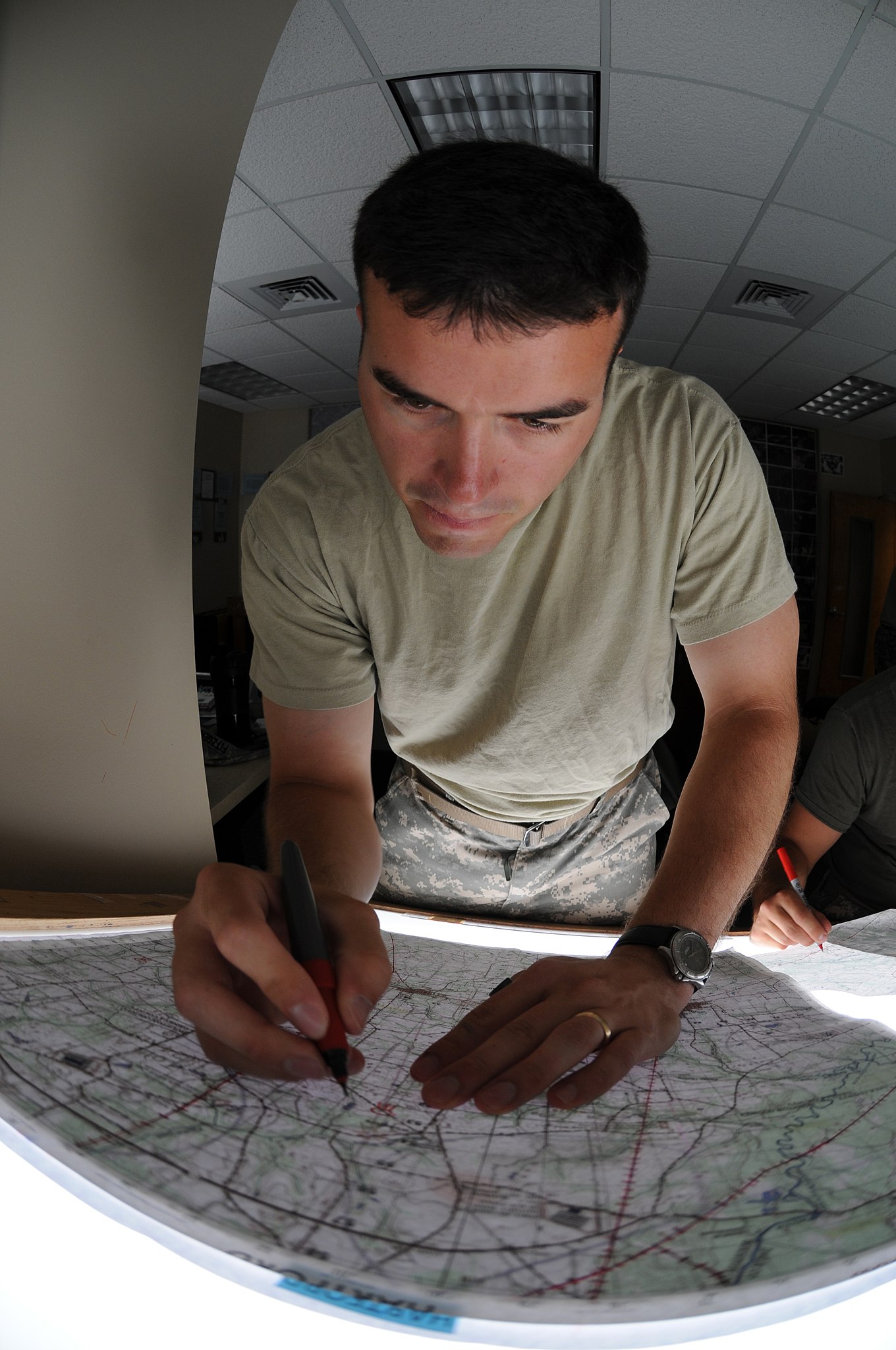
English: First Lt. Charles Fitzgerald, a flight school student from Birmingham, Ala., constructs maps he will need to navigate his OH-58 helicopter during the basic warfighter skills portion of rotary-wing flight training at the Technical Library on Fort Rucker, Ala., June 6, 2013. Fitzgerald is assigned to 1st Battalion, 31st Aviation Regiment. (U.S. Army photo by Sgt. 1st Class Andrew Kosterman)
|
|||
| Date | Taken on 6 June 2013 | |||
| Source | https://www.dvidshub.net/image/965654/making-maps | |||
| Author | Sgt. 1st Class Andrew Kosterman | |||
| Location | FORT RUCKER, AL, US | |||
| VIRIN |
|
|||
| Posted | 3 July 2013, 17:38 | |||
| Archive link | archive copy at the Wayback Machine |

Licensing
[edit]
This file is a work of a U.S. Army soldier or employee, taken or made as part of that person's official duties. As a work of the U.S. federal government, it is in the public domain in the United States.
|
 |
File history
Click on a date/time to view the file as it appeared at that time.
| Date/Time | Thumbnail | Dimensions | User | Comment | |
|---|---|---|---|---|---|
| current | 11:53, 20 February 2017 | | 2,848 × 4,288 (4.48 MB) | Fæ (talk | contribs) | DVIDS 11 megapixel image from https://www.dvidshub.net/image/965654/making-maps. maps; army aviation; Fort rucker; flight school. Part of User:Fæ/Project list/DoD |
You cannot overwrite this file.
File usage on Commons
There are no pages that use this file.