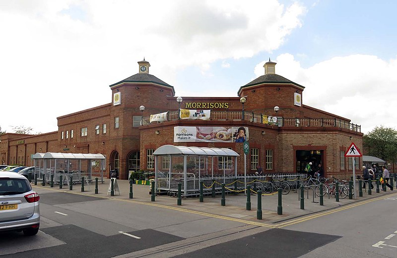
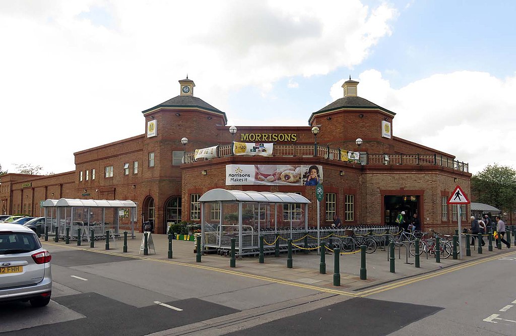
File:Morrisons in Beverley (geograph 5018367).jpg
Jump to navigation
Jump to search

Size of this preview: 800 × 521 pixels. Other resolutions: 320 × 208 pixels | 640 × 416 pixels | 1,024 × 666 pixels | 1,500 × 976 pixels.
Original file (1,500 × 976 pixels, file size: 144 KB, MIME type: image/jpeg)
Captions
Captions
Add a one-line explanation of what this file represents
Summary
[edit].jpg&action=edit§ion=1)
| Description | |
| Date | |
| Source | From geograph.org.uk |
| Author | Steve Daniels |
| Permission (Reusing this file) |
Creative Commons Attribution Share-alike license 2.0 |
| Attribution (required by the license) | Steve Daniels / Morrisons in Beverley / |
| Camera location | | View this and other nearby images on: OpenStreetMap |
|---|
.jpg¶ms=053.823559_N_-000.442370_E_globe:Earth_type:camera_source:geograph-osgb36(TA02633749)_heading:225.00&language=en)
| Object location | | View this and other nearby images on: OpenStreetMap |
|---|
.jpg¶ms=053.823030_N_-000.443000_E_globe:Earth_class:object_type:object_source:geograph-osgb36(TA02593743)_heading:225.00&language=en)
Licensing
[edit].jpg&action=edit§ion=2)

|
This image was taken from the Geograph project collection. See this photograph's page on the Geograph website for the photographer's contact details. The copyright on this image is owned by Steve Daniels and is licensed for reuse under the Creative Commons Attribution-ShareAlike 2.0 license.
|
This file is licensed under the Creative Commons Attribution-Share Alike 2.0 Generic license.
Attribution: Steve Daniels
- You are free:
- to share – to copy, distribute and transmit the work
- to remix – to adapt the work
- Under the following conditions:
- attribution – You must give appropriate credit, provide a link to the license, and indicate if changes were made. You may do so in any reasonable manner, but not in any way that suggests the licensor endorses you or your use.
- share alike – If you remix, transform, or build upon the material, you must distribute your contributions under the same or compatible license as the original.
File history
Click on a date/time to view the file as it appeared at that time.
| Date/Time | Thumbnail | Dimensions | User | Comment | |
|---|---|---|---|---|---|
| current | 20:33, 16 September 2020 | | 1,500 × 976 (144 KB) | Keith D (talk | contribs) | Transferred from geograph.co.uk using [https://tools.wmflabs.org/geograph2commons/ geograph2commons] |
You cannot overwrite this file.
File usage on Commons
There are no pages that use this file.
Metadata
.jpg&oldid=723476507)
Categories:
- Woodmansey
- Morrisons supermarkets in the East Riding of Yorkshire
- Shelters in the East Riding of Yorkshire
- Shopping trolleys in the East Riding of Yorkshire
- Bicycles in the East Riding of Yorkshire
- Road signs in the East Riding of Yorkshire
- Traffic bollards in the East Riding of Yorkshire
- May 2016 in the East Riding of Yorkshire