File:Ring Necked Parakeets Kokrebellur.jpg
Jump to navigation
Jump to search
Size of this preview: 424 × 600 pixels. Other resolutions: 170 × 240 pixels | 339 × 480 pixels | 543 × 768 pixels | 1,131 × 1,600 pixels.
Original file (1,131 × 1,600 pixels, file size: 949 KB, MIME type: image/jpeg)
Captions
Captions
Add a one-line explanation of what this file represents
| Description |
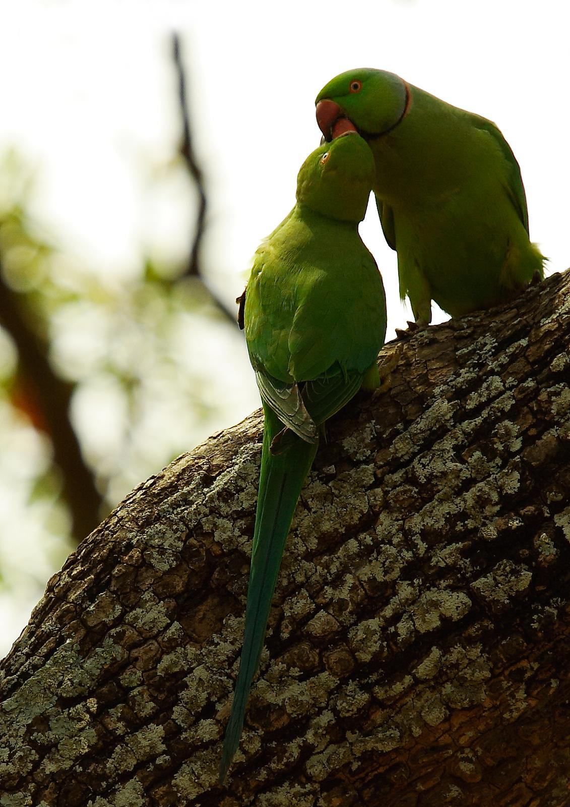
Though I've been among Parakeets since my childhood, I have never quite seen anything like this before - These are a couple of Ring-necked Parakeets - The one on top is the mother, and it's feeding the younger one. Considering the young one had fully grown wings, and it was able to fly around comfortably. Scientific name Psittacula krameri; also known as Rose-ringed Parakeet I over-shot Kokrebellur village, by mistake, continued down the road. Got this on the way back to the village. |
||||
| Date | |||||
| Source | originally posted to Flickr as Ring Necked Parakeets | ||||
| Author | Niranj Vaidyanathan | ||||
| Permission (Reusing this file) |
This file is licensed under the Creative Commons Attribution 2.0 Generic license.
|

| Camera location | | View this and other nearby images on: OpenStreetMap |
|---|
File history
Click on a date/time to view the file as it appeared at that time.
| Date/Time | Thumbnail | Dimensions | User | Comment | |
|---|---|---|---|---|---|
| current | 23:22, 3 May 2012 | | 1,131 × 1,600 (949 KB) | MPF (talk | contribs) | clone out watermark |
| 03:37, 1 October 2009 |  | 1,131 × 1,600 (281 KB) | Flickr upload bot (talk | contribs) | Uploaded from http://flickr.com/photo/54448386@N00/3183357085 using Flickr upload bot |
You cannot overwrite this file.
File usage on Commons
The following page uses this file:
File usage on other wikis
The following other wikis use this file:
- Usage on azb.wikipedia.org
- Usage on en.wikipedia.org
- Usage on ta.wikipedia.org