File:Roundabout art at East Kilbride (geograph 1871464).jpg
Jump to navigation
Jump to search
No higher resolution available.
Roundabout_art_at_East_Kilbride_(geograph_1871464).jpg (640 × 449 pixels, file size: 61 KB, MIME type: image/jpeg)
Captions
Captions
Add a one-line explanation of what this file represents
Summary
[edit].jpg&action=edit§ion=1)
| Description |
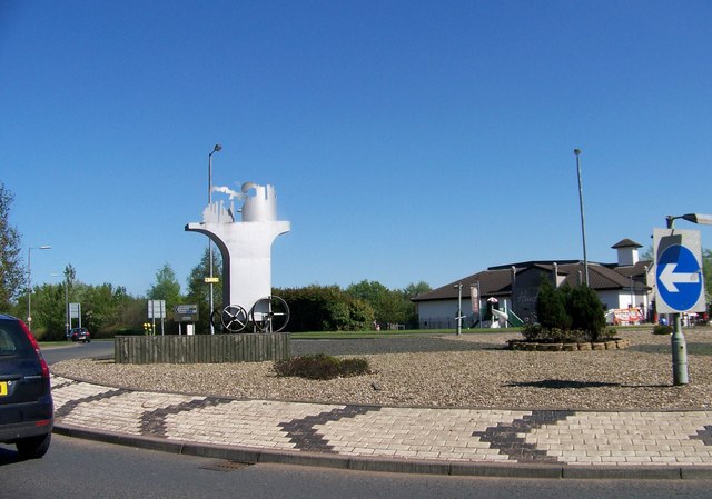
English: Roundabout art at East Kilbride |
| Date | |
| Source | From geograph.org.uk |
| Author | Elliott Simpson |
| Permission (Reusing this file) |
Creative Commons Attribution Share-alike license 2.0 |
| Attribution (required by the license) | Elliott Simpson / Roundabout art at East Kilbride / |
| Camera location | | View this and other nearby images on: OpenStreetMap |
|---|
.jpg¶ms=055.775074_N_-004.200665_E_globe:Earth_type:camera_source:geograph-osgb36(NS62065572)_heading:90.00&language=en)
| Object location | | View this and other nearby images on: OpenStreetMap |
|---|
.jpg¶ms=055.775000_N_-004.199860_E_globe:Earth_class:object_type:object_source:geograph-osgb36(NS62115571)_heading:90.00&language=en)
Licensing
[edit].jpg&action=edit§ion=2)

|
This image was taken from the Geograph project collection. See this photograph's page on the Geograph website for the photographer's contact details. The copyright on this image is owned by Elliott Simpson and is licensed for reuse under the Creative Commons Attribution-ShareAlike 2.0 license.
|
This file is licensed under the Creative Commons Attribution-Share Alike 2.0 Generic license.
Attribution: Elliott Simpson
- You are free:
- to share – to copy, distribute and transmit the work
- to remix – to adapt the work
- Under the following conditions:
- attribution – You must give appropriate credit, provide a link to the license, and indicate if changes were made. You may do so in any reasonable manner, but not in any way that suggests the licensor endorses you or your use.
- share alike – If you remix, transform, or build upon the material, you must distribute your contributions under the same or compatible license as the original.
|
The photographic reproduction of this work is covered under United Kingdom law (Section 62 of the Copyright, Designs and Patents Act 1988), which states that it is not an infringement to take photographs of buildings, or of sculptures, models for buildings, or works of artistic craftsmanship permanently located in a public place or in premises open to the public. This does not apply to two-dimensional graphic works such as posters or murals. See COM:CRT/United Kingdom#Freedom of panorama for more information.
|
This file, which was originally posted to
From geograph.org.uk, was reviewed on 27 July 2018 by reviewer Explicit, who confirmed that it was available there under the stated license on that date.
|
File history
Click on a date/time to view the file as it appeared at that time.
| Date/Time | Thumbnail | Dimensions | User | Comment | |
|---|---|---|---|---|---|
| current | 04:05, 4 July 2018 | | 640 × 449 (61 KB) | Crowsus (talk | contribs) | Transferred from geograph.co.uk using [https://tools.wmflabs.org/geograph2commons/ geograph2commons] |
You cannot overwrite this file.
File usage on Commons
There are no pages that use this file.
.jpg&oldid=594135280)