File:Txu-oclc-436775183-baghdad1-1958.jpg
Jump to navigation
Jump to search

Size of this preview: 528 × 599 pixels. Other resolutions: 211 × 240 pixels | 423 × 480 pixels | 677 × 768 pixels | 902 × 1,024 pixels | 1,805 × 2,048 pixels | 4,708 × 5,342 pixels.
Original file (4,708 × 5,342 pixels, file size: 7.29 MB, MIME type: image/jpeg)
Captions
Captions
Add a one-line explanation of what this file represents
Summary[edit]
| Description |
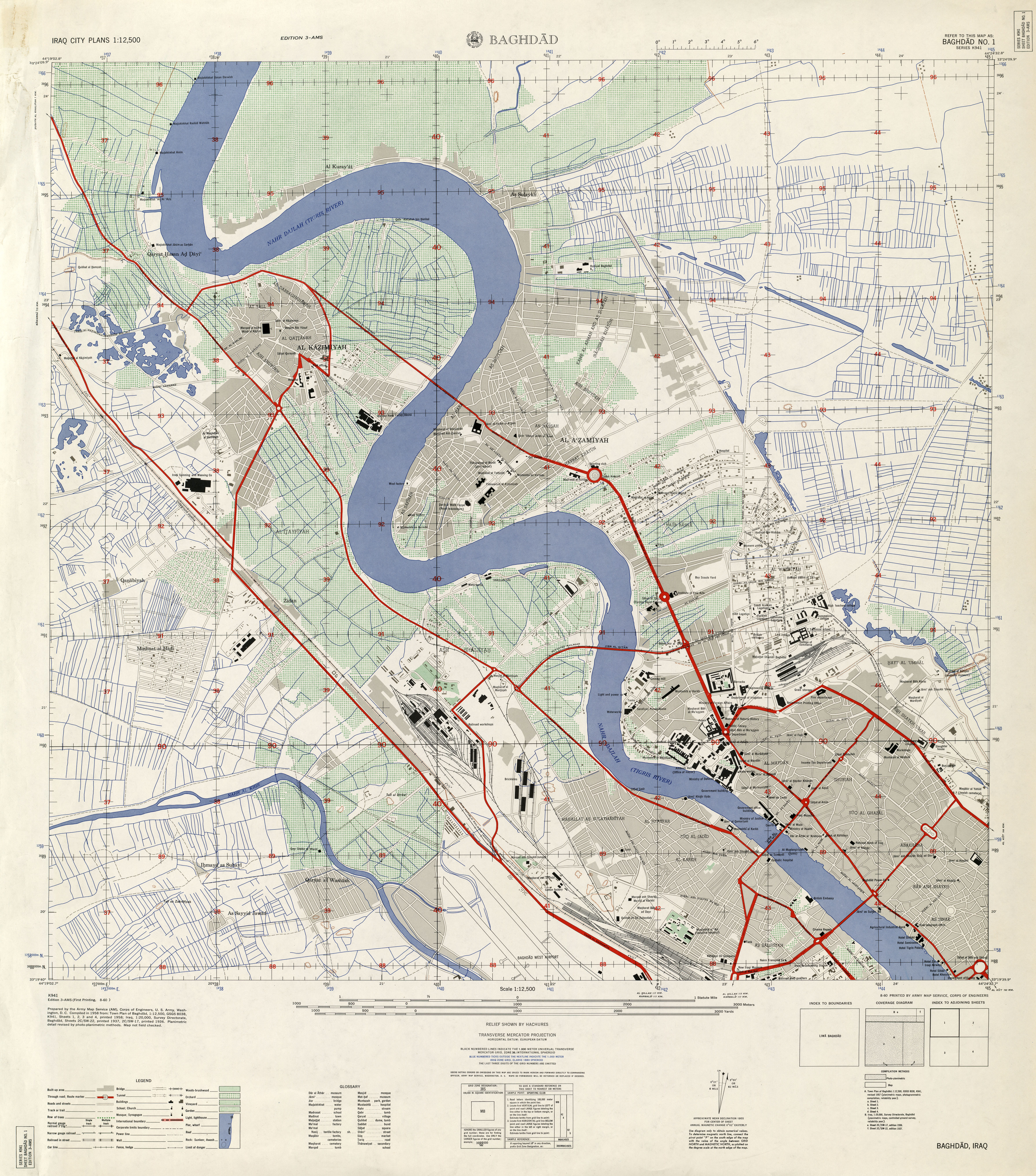
English: U.S. Army map of the northwest sector of Baghdad, Iraq, 1958. |
|||||||||
| Date | ||||||||||
| Source | University of Texas Map Library (http://www.lib.utexas.edu/maps/world_cities/txu-oclc-436775183-baghdad1-1958.jpg) | |||||||||
| Creator |
Army Map Service, Corps of Engineers, U.S. Army |
|||||||||
| Geotemporal data | ||||||||||
| Bounding box |
|
|||||||||
| Georeferencing | ||||||||||
Licensing[edit]
This file is a work of a U.S. Army soldier or employee, taken or made as part of that person's official duties. As a work of the U.S. federal government, it is in the public domain in the United States.
|
 |
File history
Click on a date/time to view the file as it appeared at that time.
| Date/Time | Thumbnail | Dimensions | User | Comment | |
|---|---|---|---|---|---|
| current | 21:34, 22 April 2011 | | 4,708 × 5,342 (7.29 MB) | Dragfyre (talk | contribs) | {{Information |Description ={{en|1=U.S. Army map of the northwest sector of Baghdad, Iraq, 1958. }} |Source =University of Texas Map Library (http://www.lib.utexas.edu/maps/world_cities/txu-oclc-436775183-baghdad1-1958.jpg) |Author =Arm |
You cannot overwrite this file.
File usage on Commons
There are no pages that use this file.