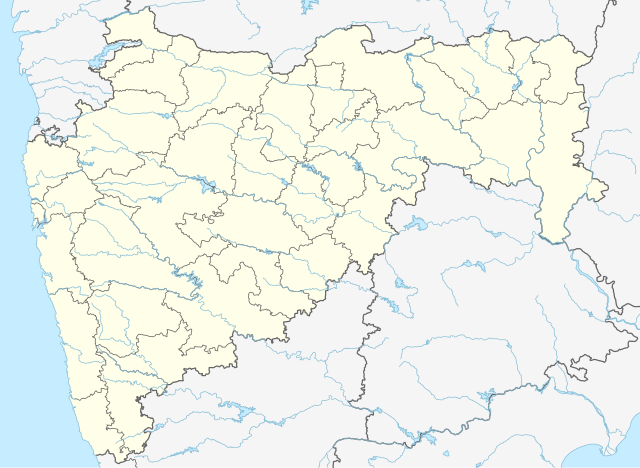
File:India Maharashtra location map.svg
Vai alla navigazione
Vai alla ricerca

Dimensioni di questa anteprima PNG per questo file SVG: 800 × 585 pixel. Altre risoluzioni: 320 × 234 pixel | 640 × 468 pixel | 1 024 × 748 pixel | 1 280 × 935 pixel | 2 560 × 1 871 pixel | 1 233 × 901 pixel.
File originale (file in formato SVG, dimensioni nominali 1 233 × 901 pixel, dimensione del file: 1,08 MB)
Didascalie
Didascalie
Aggiungi una brevissima spiegazione di ciò che questo file rappresenta
Dettagli
[modifica]| Descrizione |
Deutsch: Postionskarte von
Maharashtra
Quadratische Plattkarte. Geographische Begrenzung der Karte:
English: Location map of Maharashtra
Equirectangular projection. Geographic limits of the map:
|
||
| Data | |||
| Fonte | own work, using this file by Planemad | ||
| Autore | Maximilian Dörrbecker (Chumwa) | ||
| Licenza (Riusare questo file) |
Io, detentore del copyright su quest'opera, dichiaro di pubblicarla con le seguenti licenze:
Questo file è disponibile in base alla licenza Creative Commons Attribuzione-Condividi allo stesso modo 3.0 Unported
Puoi scegliere la licenza che preferisci. |


|
Questa mappa è stata prodotta e/o migliorata nel Kartenwerkstatt, il laboratorio grafico della Wikipedia tedesca, dove è possible proporre mappe da migliorare.
|
Cronologia del file
Fare clic su un gruppo data/ora per vedere il file come si presentava nel momento indicato.
| Data/Ora | Miniatura | Dimensioni | Utente | Commento | |
|---|---|---|---|---|---|
| attuale | 17:24, 4 lug 2023 | | 1 233 × 901 (1,08 MB) | C1MM (discussione | contributi) | Fixed Hingoli district |
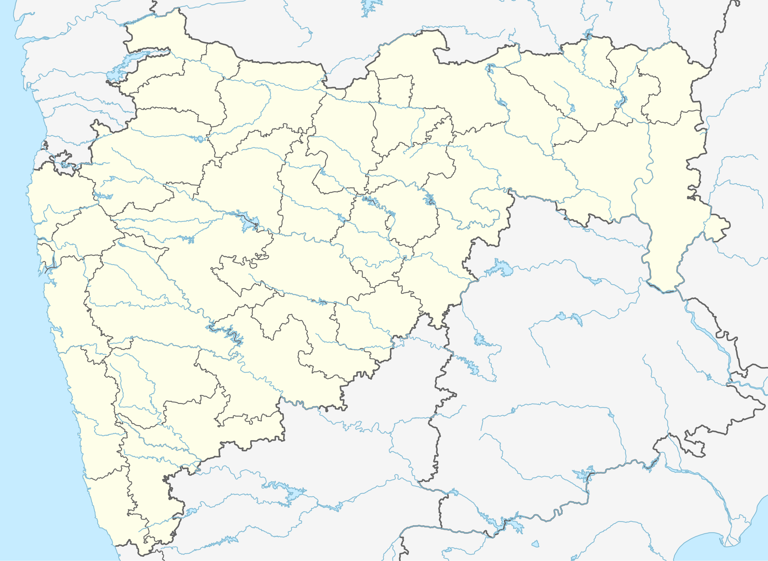
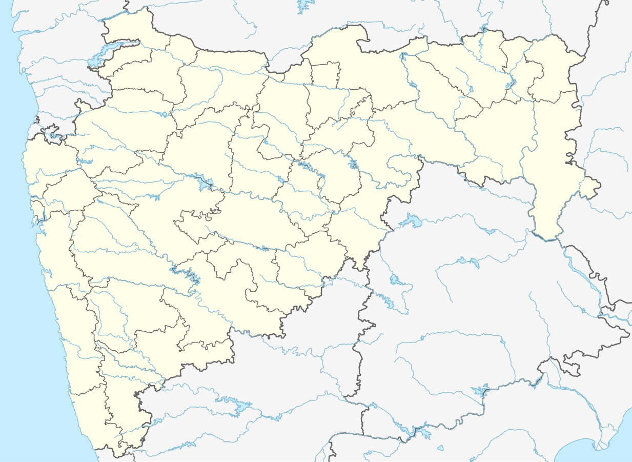
| 04:50, 1 mag 2022 |  | 1 146 × 838 (427 KB) | C1MM (discussione | contributi) | c ahmednagar district | |
| 03:35, 2 giu 2021 |  | 1 223 × 894 (523 KB) | C1MM (discussione | contributi) | c rivers and borders | |
| 20:48, 28 giu 2020 |  | 875 × 640 (730 KB) | C1MM (discussione | contributi) | Fixed AP border | |
| 21:03, 1 mag 2020 |  | 2 168 × 1 671 (627 KB) | C1MM (discussione | contributi) | Divided AP, added rivers/coast | |
| 11:58, 28 lug 2015 |  | 2 168 × 1 671 (347 KB) | NordNordWest (discussione | contributi) | + Palghar district | |
| 06:19, 11 apr 2010 |  | 2 168 × 1 671 (370 KB) | Chumwa (discussione | contributi) | == {{int:filedesc}} == {{Information |Description= {{de|Postionskarte von Maharashtra}} Quadratische Plattkarte. Geographische Begrenzung der Karte: * N: 22°07'00" N (22.1167°N) * S: 15°33'00" N (15,5500°N) * W: 72°21'00" O (72.35 |
Impossibile sovrascrivere questo file.
Utilizzo del file
Le seguenti 51 pagine usano questo file:
- Maharashtra
- User:Chumwa/Gallery
- Commons:Graphic Lab/Map workshop/Archive/2015
- File:India Maharashtra COVID-19 deaths.svg
- File:India Maharashtra COVID-19 map.svg
- Category:2019 in Maharashtra
- Category:Activists from Maharashtra
- Category:Airports in Maharashtra
- Category:Archaeological sites in Maharashtra
- Category:Births in Maharashtra
- Category:Bodies of water in Maharashtra
- Category:Bridges in Maharashtra
- Category:Buddhist temples in Maharashtra
- Category:Bus stations in Maharashtra
- Category:Caves of Maharashtra
- Category:Cities in Maharashtra
- Category:Deaths in Maharashtra
- Category:Education in Maharashtra
- Category:Festivals of Maharashtra
- Category:Flora of Maharashtra
- Category:Forts in Maharashtra
- Category:Gurudwaras in Maharashtra
- Category:Hill stations in Maharashtra
- Category:Hills of Maharashtra
- Category:Hindu temples in Maharashtra
- Category:Hospitals in Maharashtra
- Category:Jain temples in Maharashtra
- Category:Lakes of Maharashtra
- Category:Maharashtra
- Category:Maps of Maharashtra
- Category:Municipal corporations in Maharashtra
- Category:Newspapers of Maharashtra
- Category:Palaces in Maharashtra
- Category:People of Maharashtra
- Category:Populated places in Maharashtra
- Category:Postcards of Maharashtra
- Category:Power plants in Maharashtra
- Category:Rail transport in Maharashtra
- Category:Railway junction stations in Maharashtra
- Category:Railway stations in Maharashtra
- Category:Reservoirs in Maharashtra
- Category:Rivers of Maharashtra
- Category:Roads in Maharashtra
- Category:Shiva temples in Maharashtra
- Category:Sports in Maharashtra
- Category:Temples in Maharashtra
- Category:Views of Maharashtra
- Category:Villages in Maharashtra
- Category:Visitor attractions in Maharashtra
- Category:Waterfalls in Maharashtra
- Category:World Heritage Sites in Maharashtra
Utilizzo globale del file
Anche i seguenti wiki usano questo file:
- Usato nelle seguenti pagine di anp.wikipedia.org:
- Usato nelle seguenti pagine di ar.wikipedia.org:
- Usato nelle seguenti pagine di as.wikipedia.org:
- Usato nelle seguenti pagine di azb.wikipedia.org:
- بمبئی
- پیمپری-چینچواد
- الور، عثمانآباد
- اودان (هیندوستان)
- ساتونا
- ساستور
- سارد (هیندوستان)
- سارداروادی
- سارانقخدا
- سارالا, آهمدناقار
- سارال, رایقاره
- ماوادی کادپاتار
- سانقوی
- کالجاواد
- کالی(دک)
- ماسور (هیندوستان)
- کالاس, پارنر
- ساناسوادی
- کالامسار موهیدا
- کالامبیست
- کالامب, یاواتمال
- کاکانوادا
- ولاس, ماهاراشترا
- ساکوری
- ساکول (هیندوستان)
- ساخاروادی
- واشی, سانقلی
- واشی, رایقاد
- مانوات رواد
- سایتاود
- کاقاشت
- مانوری
- کادوس (هیندوستان)
- مانکشوار
- مانجرود
- پادالی (هیندوستان)
Visualizza l'utilizzo globale di questo file.