File:Wiltshire UK locator map 2010.svg
Bước tới điều hướng
Bước tới tìm kiếm

Kích thước bản xem trước PNG này của tập tin SVG: 494×600 điểm ảnh. Độ phân giải khác: 198×240 điểm ảnh | 395×480 điểm ảnh | 633×768 điểm ảnh | 843×1.024 điểm ảnh | 1.687×2.048 điểm ảnh | 1.108×1.345 điểm ảnh.
Tập tin gốc (tập tin SVG, 1.108×1.345 điểm ảnh trên danh nghĩa, kích thước: 302 kB)
Chú thích
Chú thích
Ghi một dòng giải thích những gì có trong tập tin này
Miêu tả
[sửa]
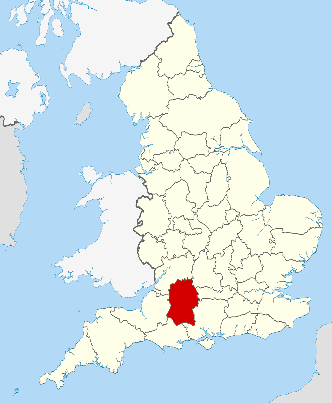
| Miêu tả | Location of the ceremonial county of Wiltshire within England. |
| Ngày | |
| Nguồn gốc |
National Geospatial-Intelligence Agency
|
| Tác giả | Nilfanion |
| SVG genesis | This W3C-invalid vector image was created with unknown tool. |
Giấy phép
[sửa]
Tôi, người giữ bản quyền tác phẩm này, từ đây phát hành nó theo các giấy phép sau:
Tập tin này được phát hành theo Giấy phép Creative Commons Ghi công - Chia sẻ tương tự 3.0 Chưa chuyển đồi
- Bạn được phép:
- chia sẻ – sao chép, phân phối và chuyển giao tác phẩm
- pha trộn – để chuyển thể tác phẩm
- Theo các điều kiện sau:
- ghi công – Bạn phải ghi lại tác giả và nguồn, liên kết đến giấy phép, và các thay đổi đã được thực hiện, nếu có. Bạn có thể làm các điều trên bằng bất kỳ cách hợp lý nào, miễn sao không ám chỉ rằng người cho giấy phép ủng hộ bạn hay việc sử dụng của bạn.
- chia sẻ tương tự – Nếu bạn biến tấu, biến đổi, hoặc làm tác phẩm khác dựa trên tác phẩm này, bạn chỉ được phép phân phối tác phẩm mới theo giấy phép y hệt hoặc tương thích với tác phẩm gốc.

|
Bạn có quyền sao chép, phân phối và/hoặc sửa đổi tài liệu này theo những điều khoản được quy định trong Giấy phép Tài liệu Tự do GNU, phiên bản 1.2 hoặc các phiên bản mới hơn được Quỹ Phần mềm Tự do; quy định; ngoại trừ những phần không được sửa đổi, bìa trước và bìa sau. Bạn có thể xem giấy phép nói trên ở phần Giấy phép Tài liệu Tự do GNU. |
Bạn có thể chọn giấy phép mà bạn muốn.

|
This is one of the images forming part of the Valued image set: Locator maps of the Ceremonial counties of England on Wikimedia Commons. The image set has been assessed under the valued image set criteria and is considered the most valued set on Commons within the scope:
Locator maps of the Ceremonial counties of England
You can see its nomination at Commons:Valued image candidates/Locator maps of English ceremonial counties. |
Lịch sử tập tin
Nhấn vào ngày/giờ để xem nội dung tập tin tại thời điểm đó.
| Ngày/Giờ | Hình xem trước | Kích cỡ | Thành viên | Miêu tả | |
|---|---|---|---|---|---|
| hiện tại | 22:48, ngày 23 tháng 11 năm 2010 | | 1.108×1.345 (302 kB) | Nilfanion (thảo luận | đóng góp) | == Summary == {{Information |Description=Location of the ceremonial county of Wiltshire within England. |Source=Ordnance Survey [https://www.ordnancesurvey.co.uk/opendatadownload/products.html OpenData]: *County bound |
Bạn không được phép ghi đè tập tin này.
Trang sử dụng tập tin
28 trang sau sử dụng tập tin này:
- Valued image set: Locator maps of the Ceremonial counties of England
- Commons:Valued image candidates/Locator maps of English ceremonial counties
- Category:Almshouses in Wiltshire
- Category:Alumni by school in Wiltshire
- Category:Archaeological sites in Wiltshire
- Category:Births in Wiltshire
- Category:Bridges in Wiltshire
- Category:Canals in Wiltshire
- Category:Deaths in Wiltshire
- Category:Geography of Wiltshire
- Category:Hospitals in Wiltshire
- Category:Local government in Wiltshire
- Category:Maps of Wiltshire
- Category:Meadows in Wiltshire
- Category:Populated places in Wiltshire
- Category:Rail transport in Wiltshire
- Category:Rivers of Wiltshire
- Category:Roads in Wiltshire
- Category:Tunnels in Wiltshire
- Category:Views of Wiltshire
- Category:Villages in Wiltshire
- Category:Visitor attractions in Wiltshire
- Category:Wiltshire
- Category:Wiltshire in the 17th century
- Category:Wiltshire in the 19th century
- Category:Wiltshire in the 20th century
- Category:Wiltshire in the 21st century
- Category:Windmills in Wiltshire
Sử dụng tập tin toàn cục
Những wiki sau đang sử dụng tập tin này:
- Trang sử dụng tại af.wikipedia.org
- Trang sử dụng tại ar.wikipedia.org
- Trang sử dụng tại ast.wikipedia.org
- Trang sử dụng tại be-tarask.wikipedia.org
- Trang sử dụng tại be.wikipedia.org
- Trang sử dụng tại bg.wikipedia.org
- Trang sử dụng tại br.wikipedia.org
- Trang sử dụng tại ca.wikipedia.org
- Trang sử dụng tại ceb.wikipedia.org
- Trang sử dụng tại cs.wikipedia.org
- Trang sử dụng tại dag.wikipedia.org
- Trang sử dụng tại en.wikipedia.org
- Wiltshire
- Brandier
- Kennet District
- North Wiltshire
- Kennet Avenue
- Beckhampton Avenue
- Broad Hinton and Winterbourne Bassett
- River Bourne, Wiltshire
- Little Woodbury
- Horpit
- Avon Valley Path
- Clarendon Way
- Old Sarum Way
- Bentley Wood
- Blackmoor Copse
- List of parliamentary constituencies in Wiltshire
- Ablington, Wiltshire
- Template:Wiltshire-geo-stub
- Queens Park, Swindon
- Brokenborough
- Goatacre
- Fonthill Lake
- Shearwater (lake)
- River Blackwater (River Test)
- River Dun (River Kennet)
- Clatford
- Stockley, Wiltshire
- Hook, Wiltshire
- Wessex Ridgeway
- Milk Hill
- Aughton, Wiltshire
- Charnage Down Chalk Pit
- Corsham Railway Cutting
- Dead Maid Quarry
- Dinton Quarry
Xem thêm các trang toàn cục sử dụng tập tin này.